
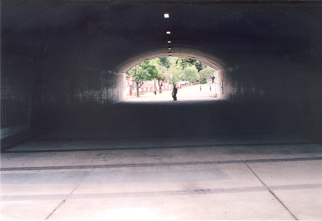
Walking east of Kingsgrove Road towards Bexley North, we come to a pedestrian tunnel.
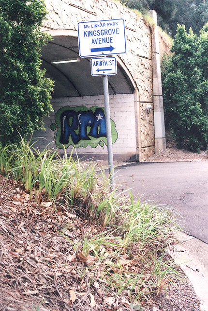
It links streets to the north and south of the M5. There are a few of these along the track, very handy as otherwise it would be a very long walk to the train station for those living north of the M5.
Wolli Creek once again winds its way downstream. It runs into the Cooks River, past the airport, and into Botany Bay.
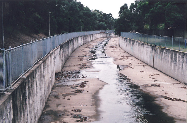
With the arrival of the M5 the canal was widened, but it hasn’t eased the flooding. Why does it flood so often? I Googled this issue and found a Flood Study for the area. It says that before this part of Sydney was settled, all the rainwater was slower to enter the creek, having to be filtered through the soil or flow down the numerous gullies and creeks. Now there is a lot more concrete, meaning less places for water to filter through, hence more flooding. Judging from the amount of flooding recently in Sydney and its surrounds, this is very common side-effect of urbanisation.
That ends our little tour of the M5 and Kingsgrove. I enjoyed photographing the suburb and writing about it, so perhaps I might do it again somewhere down the track.
