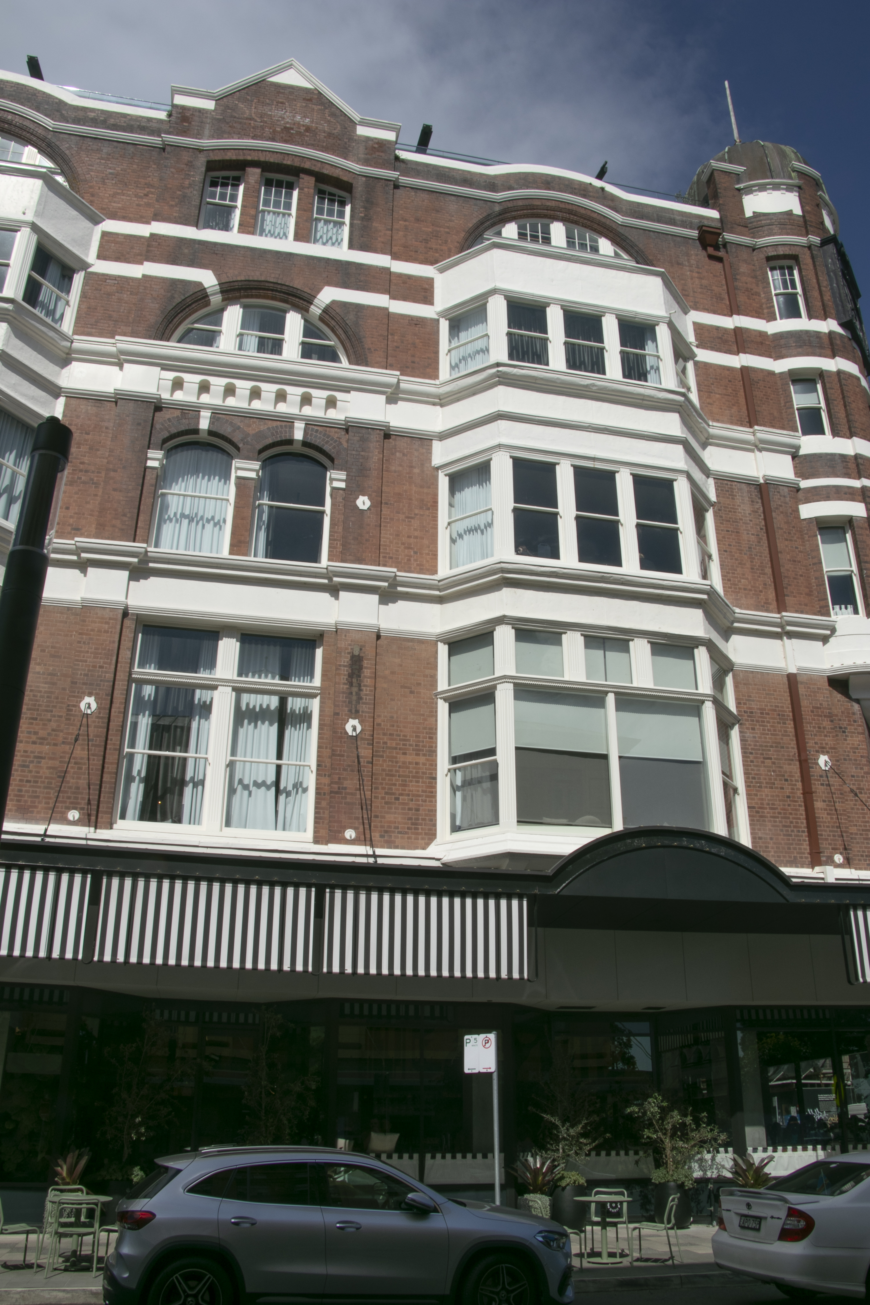
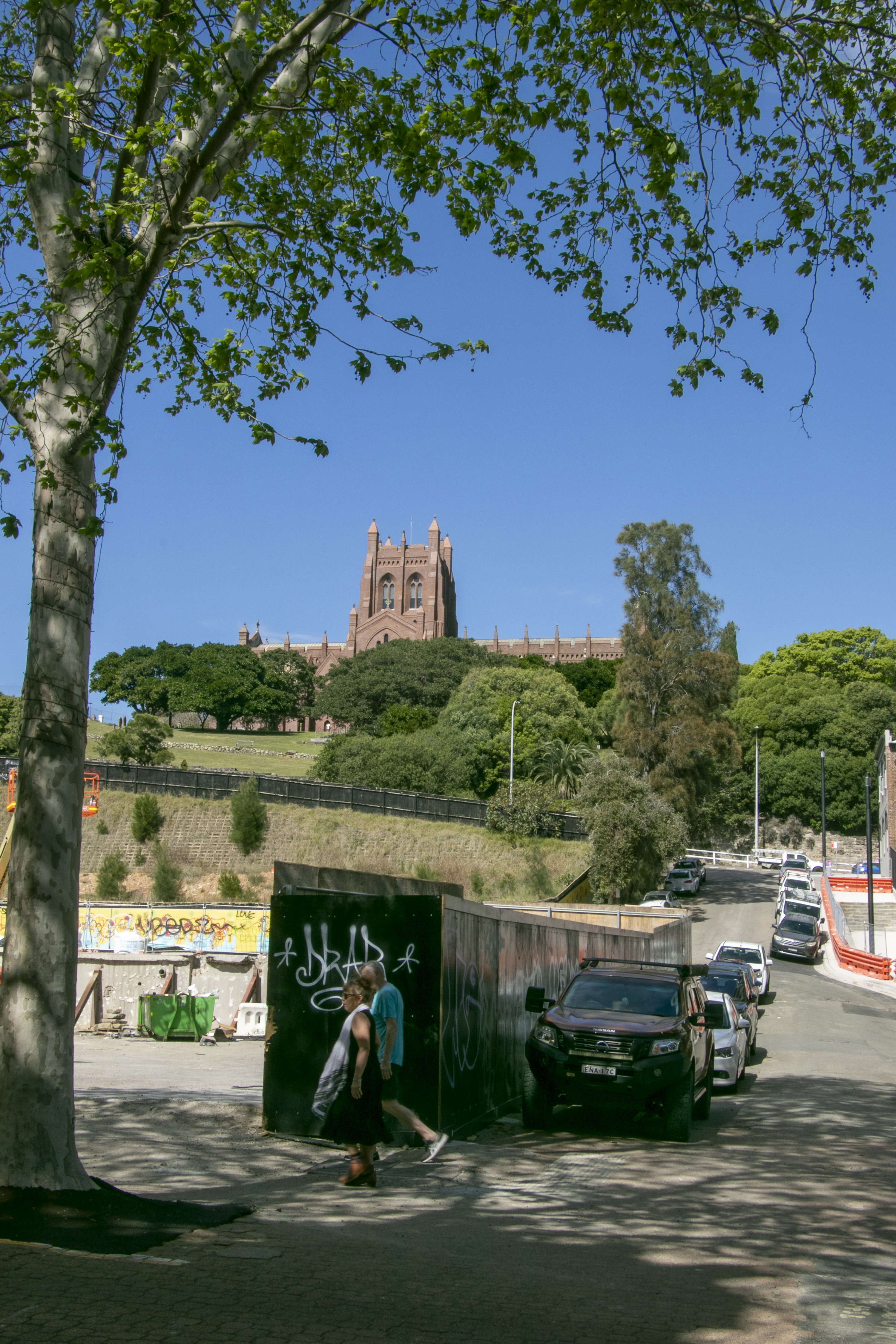
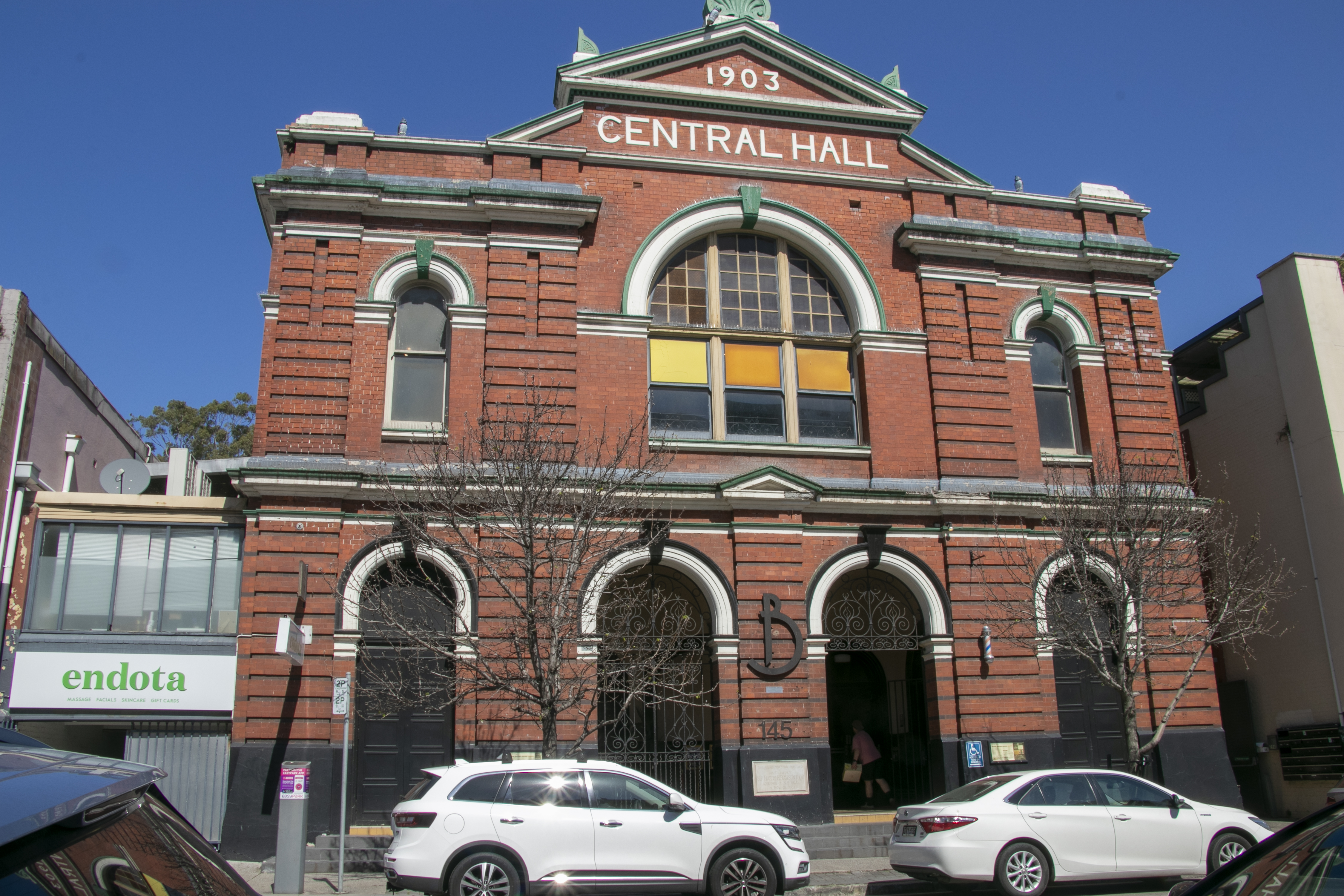
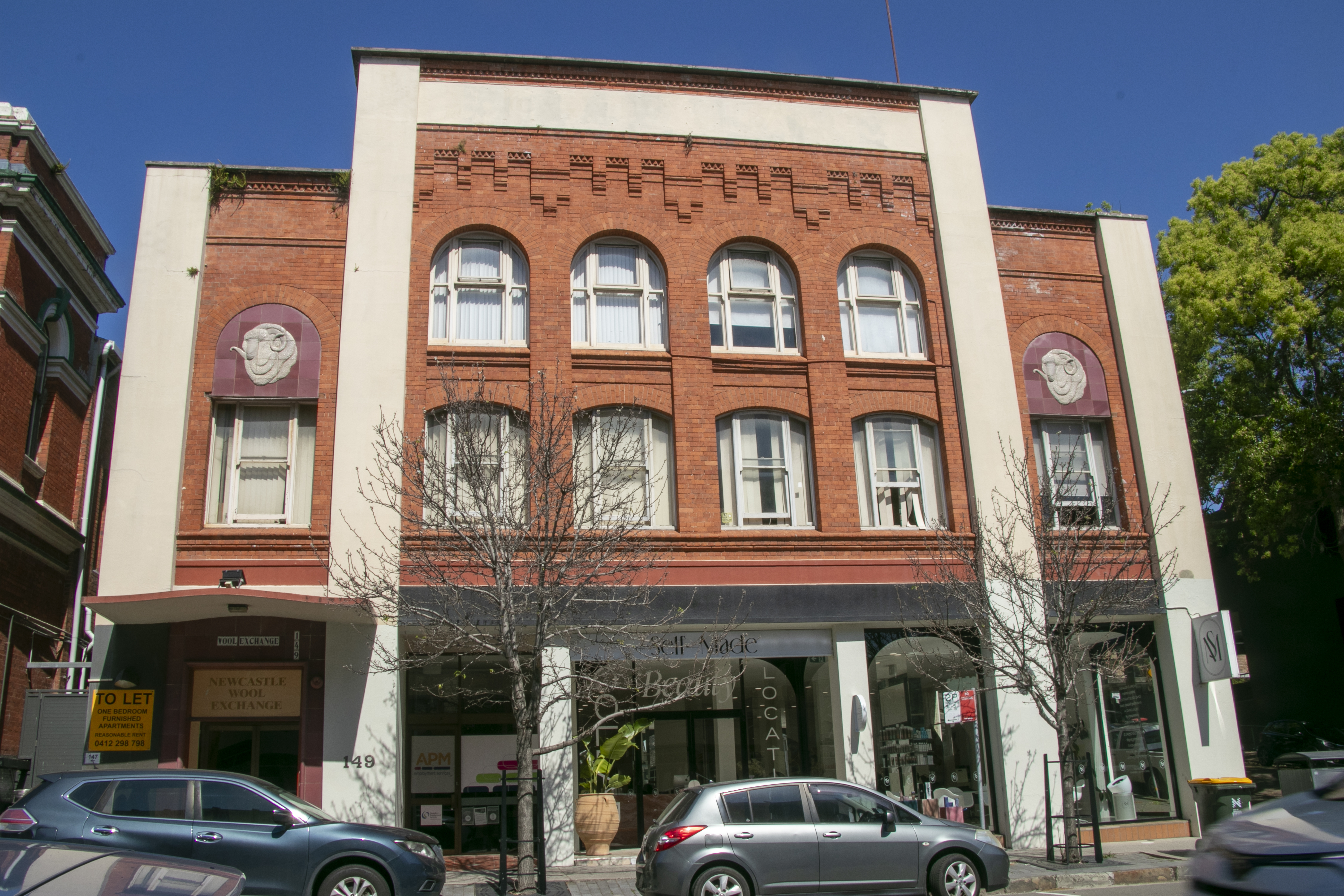
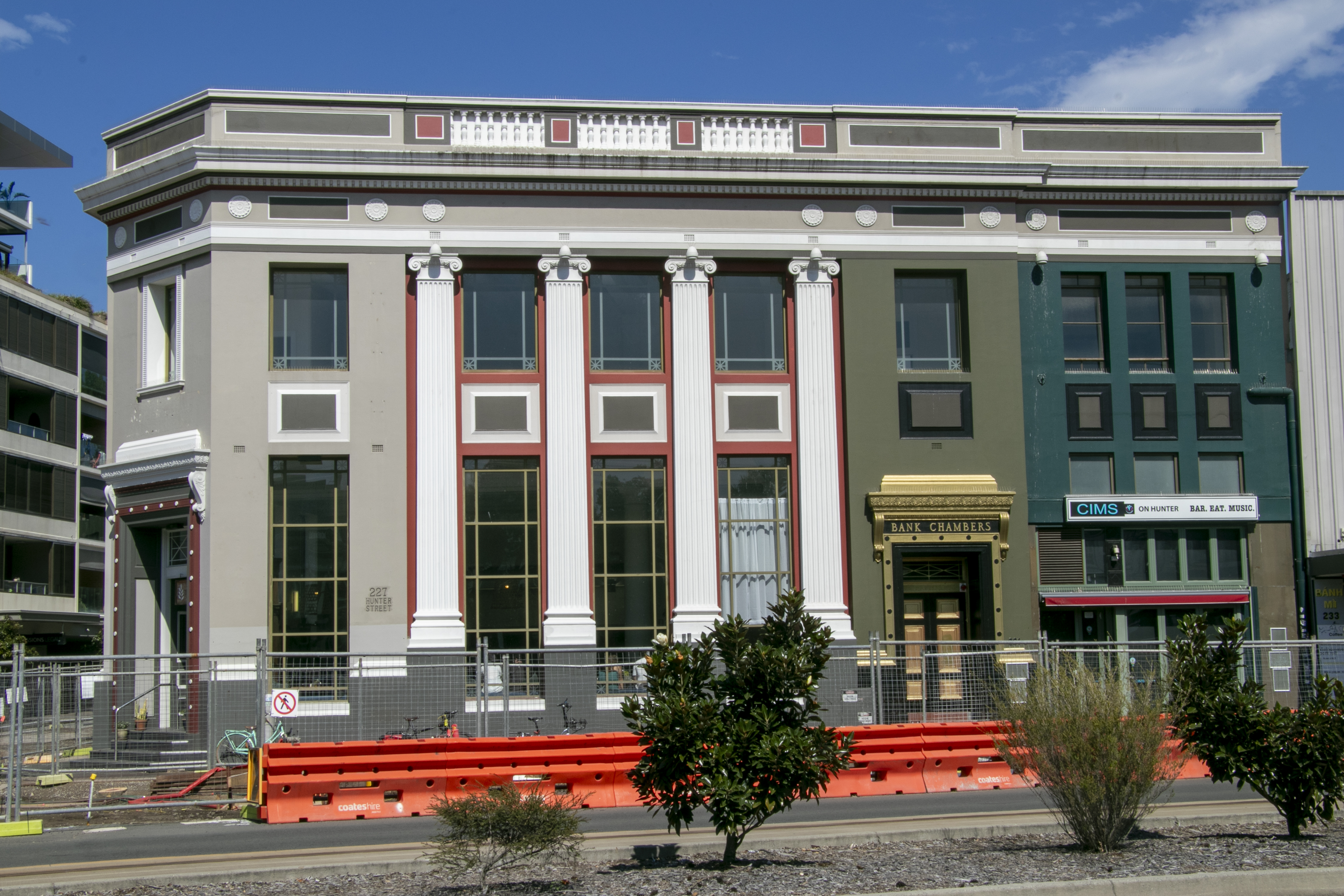
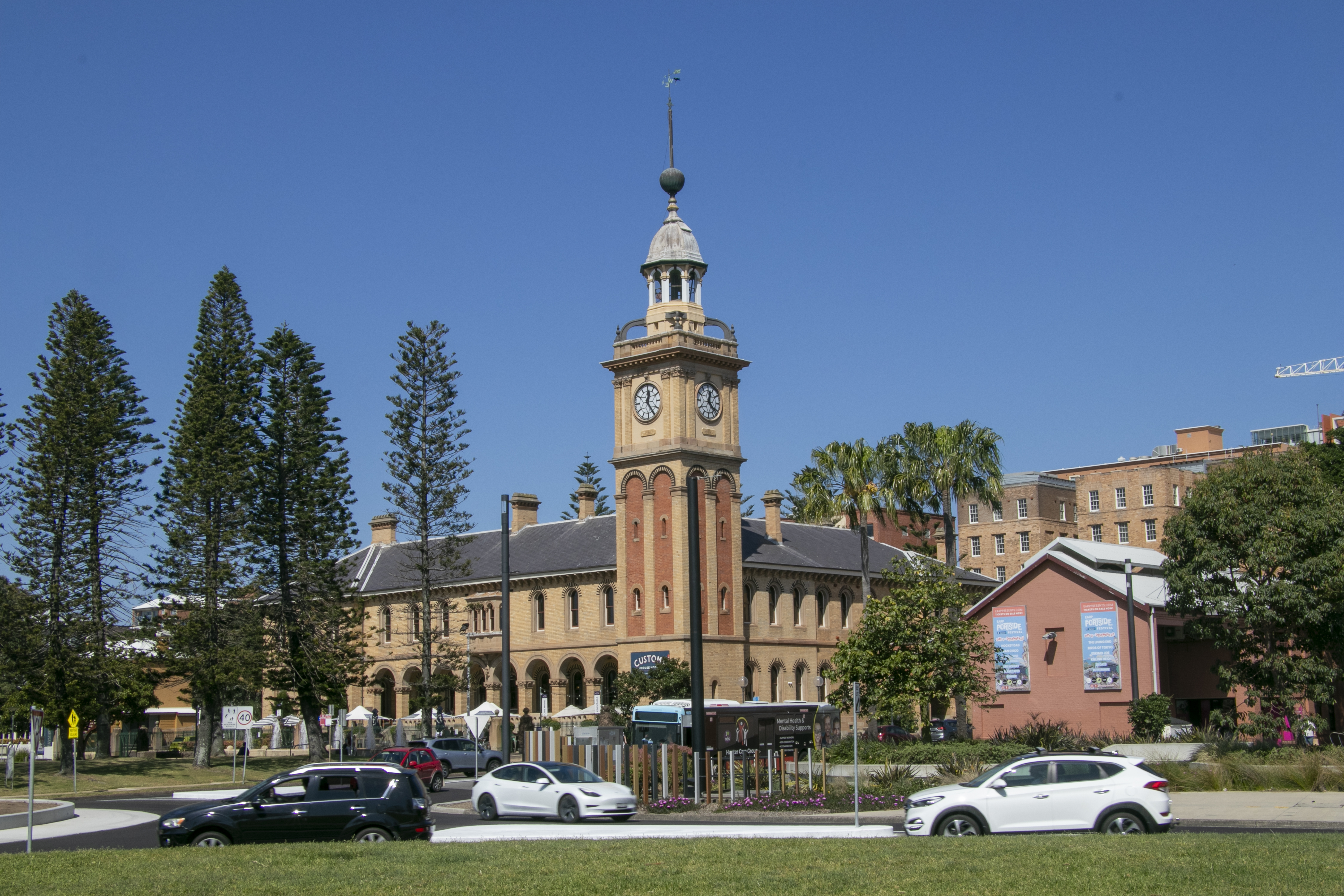
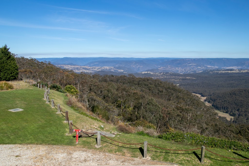
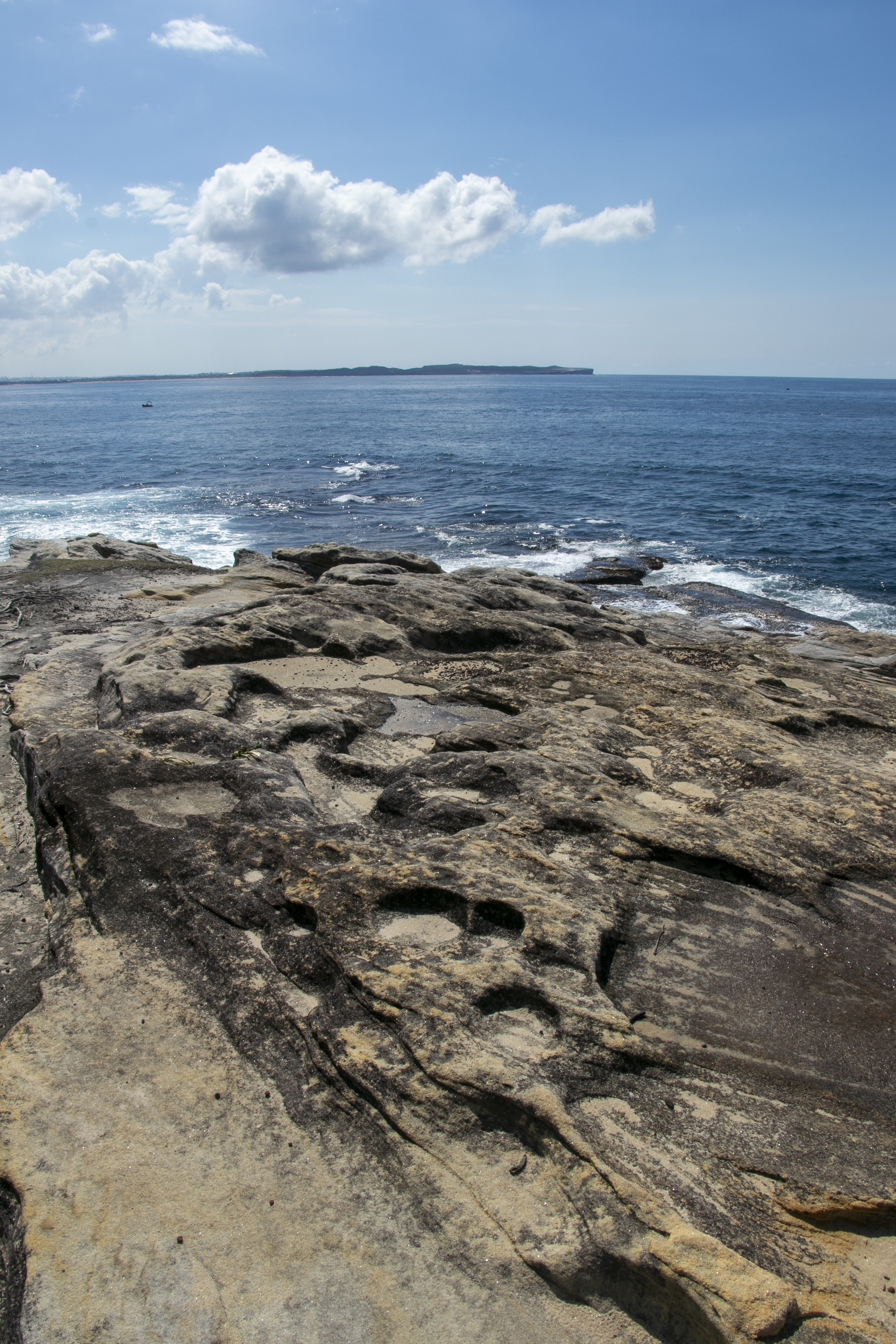
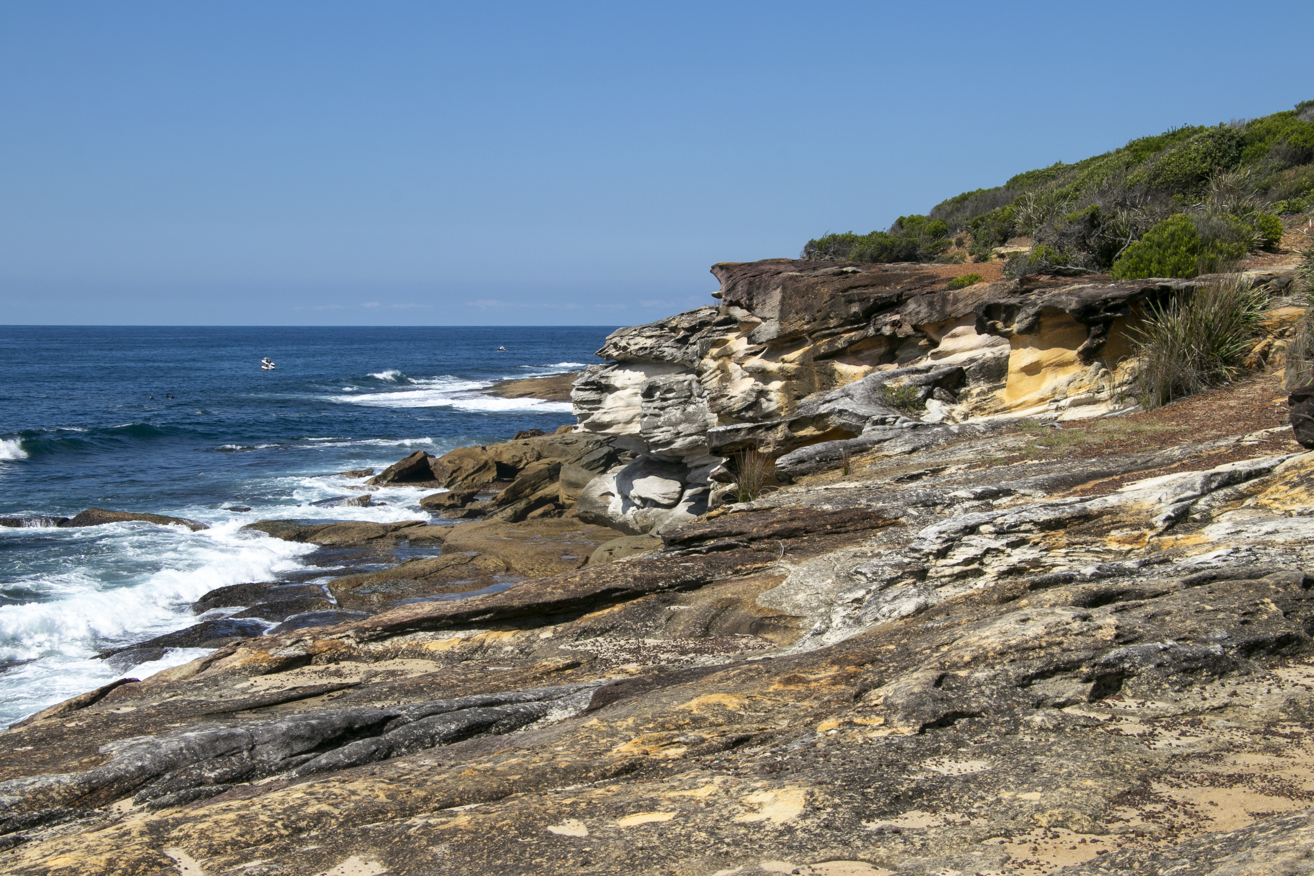
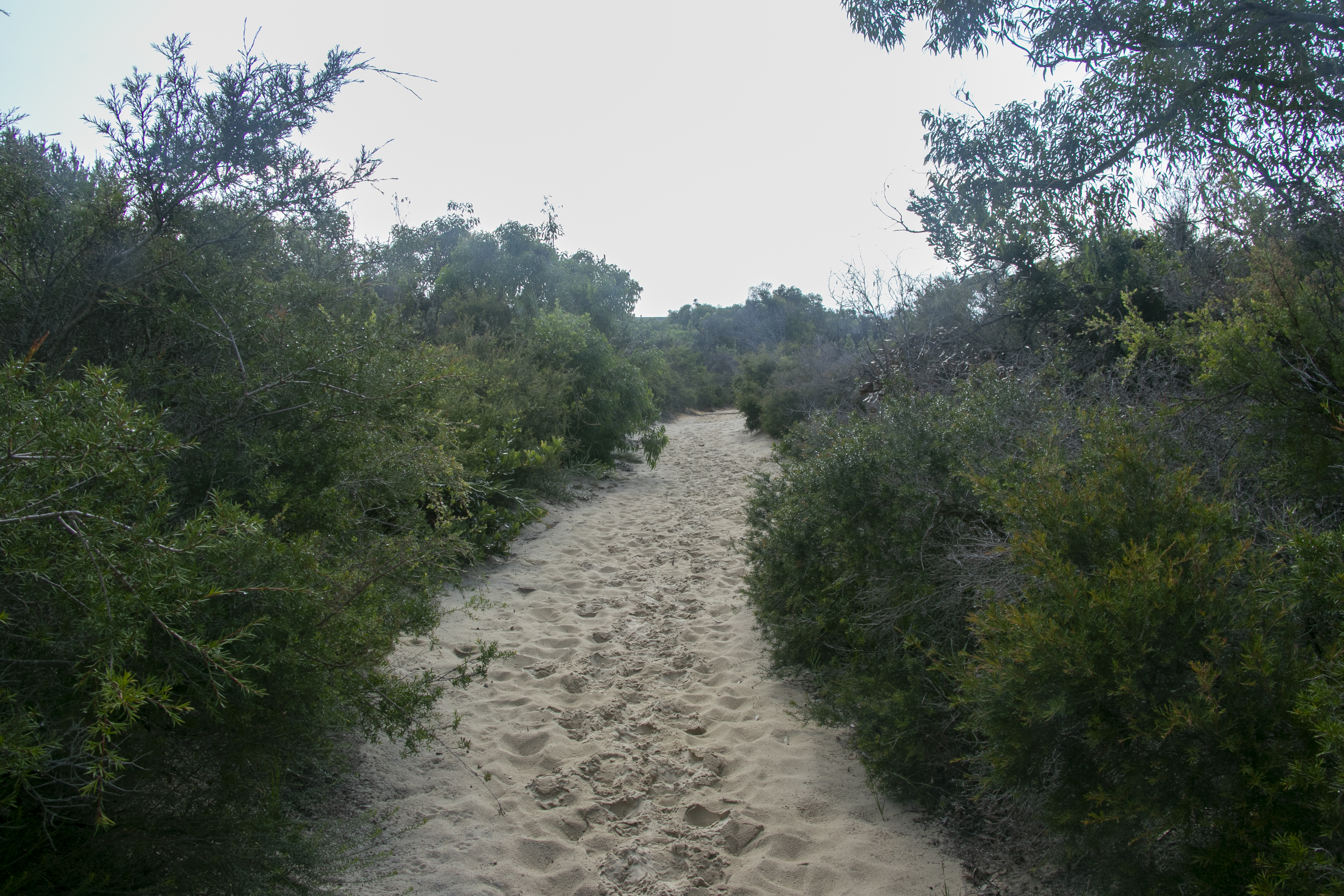
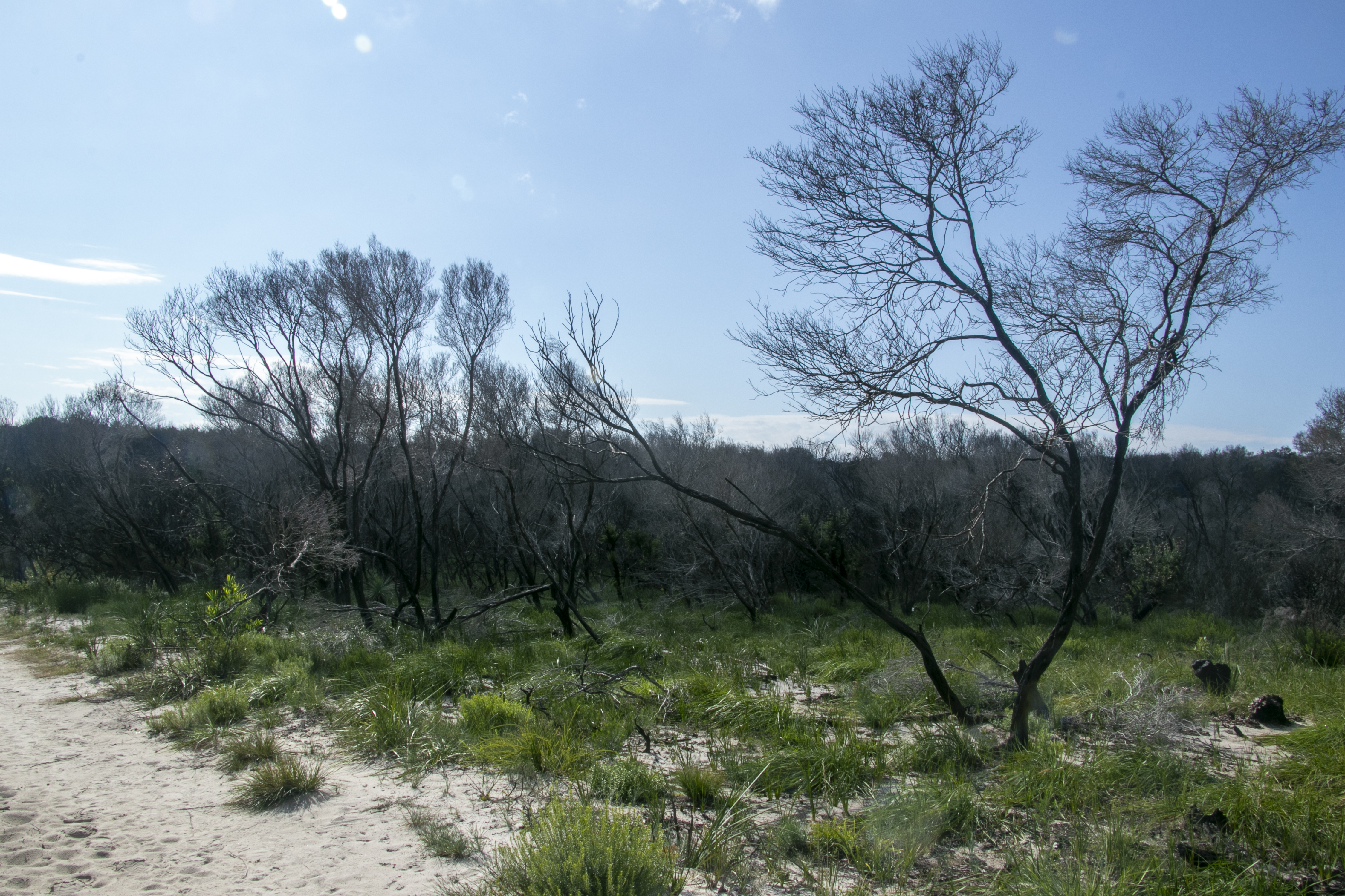
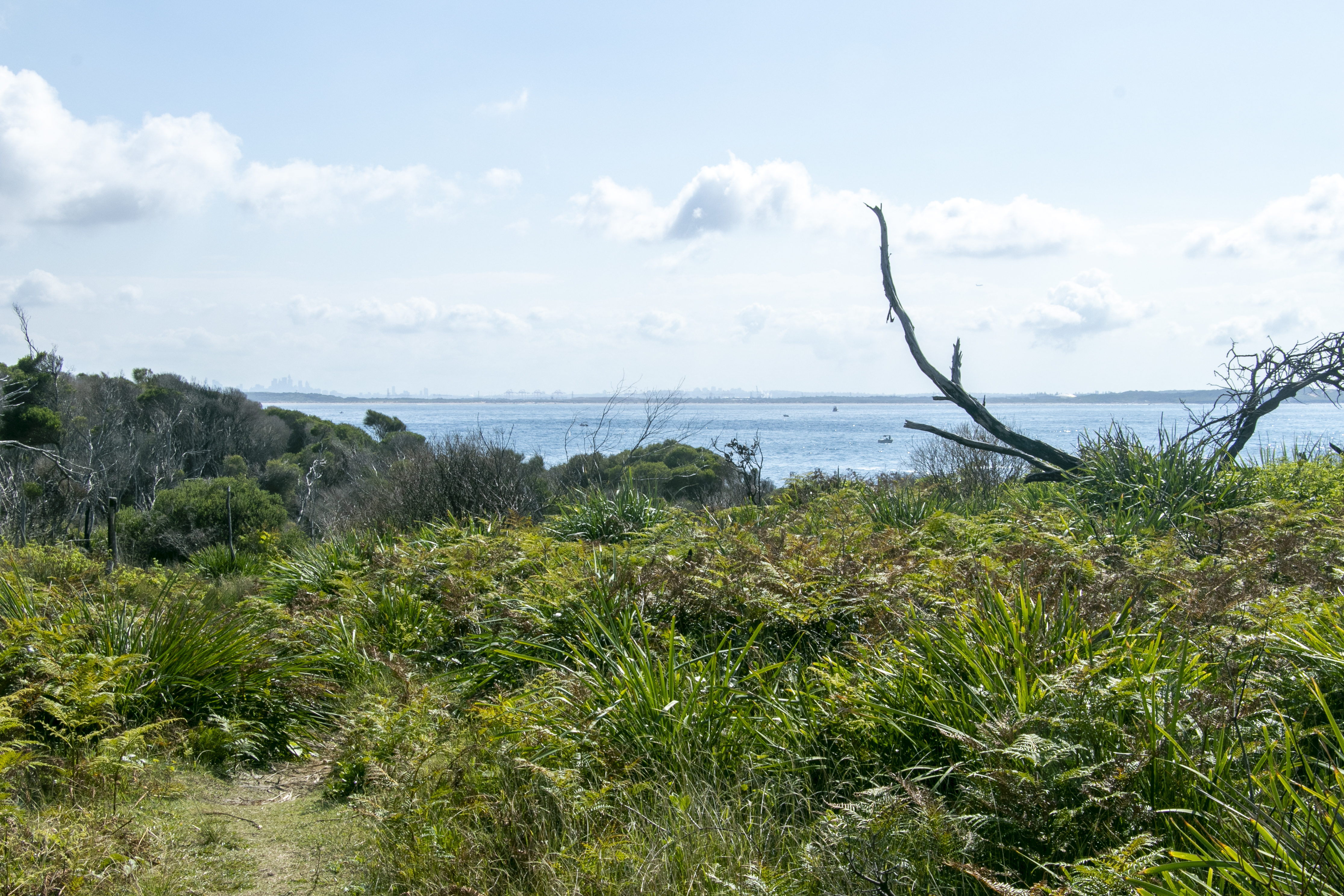
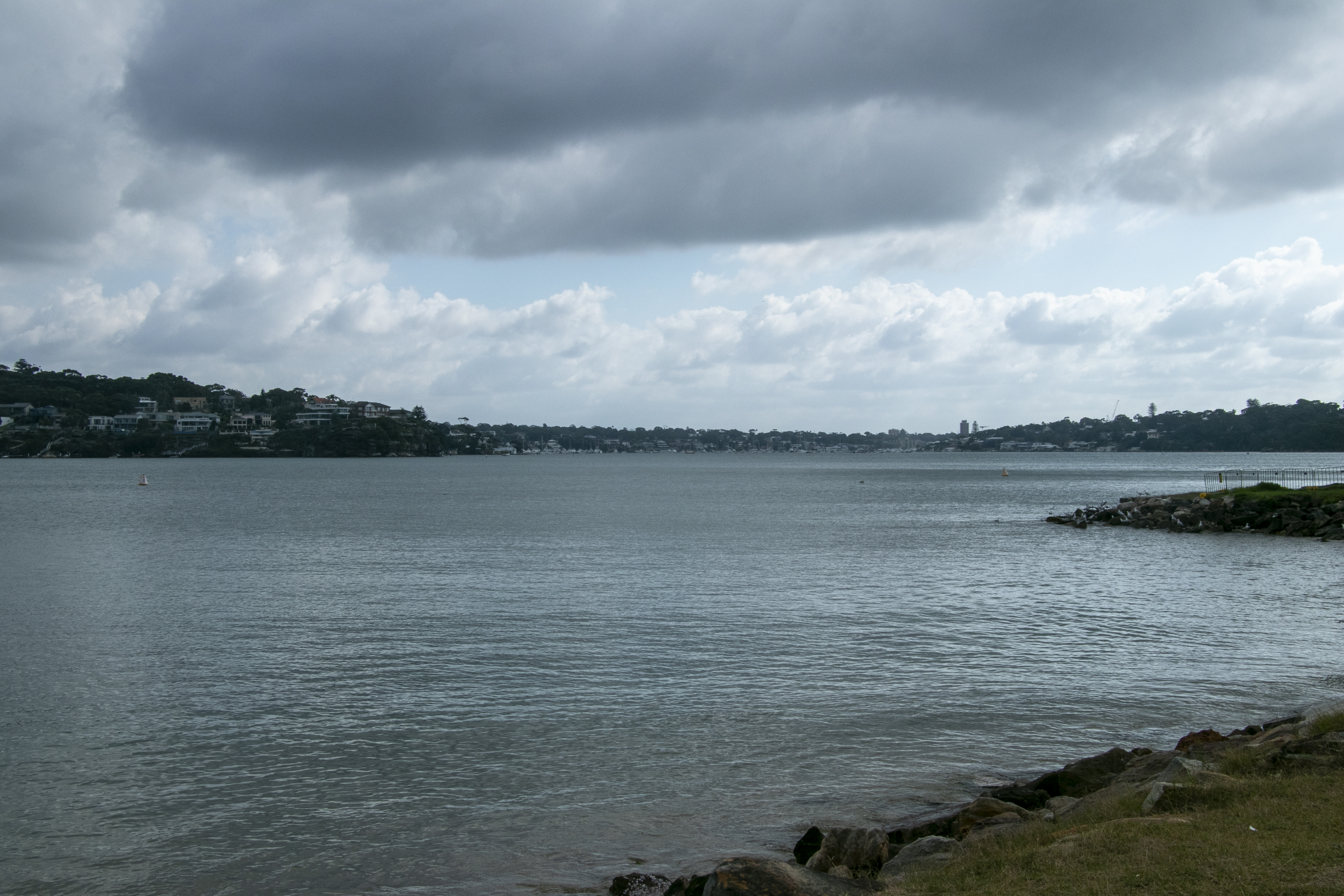
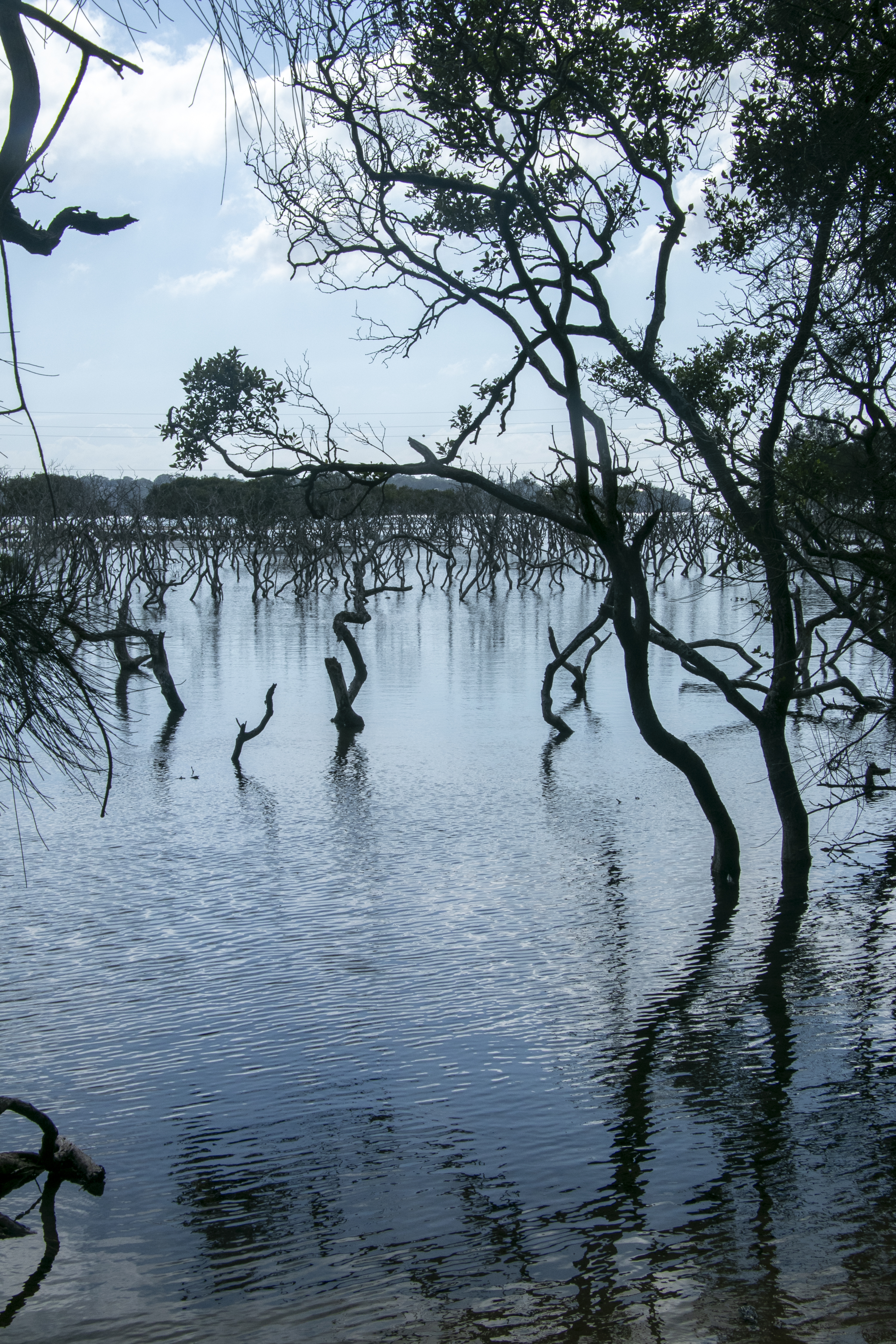
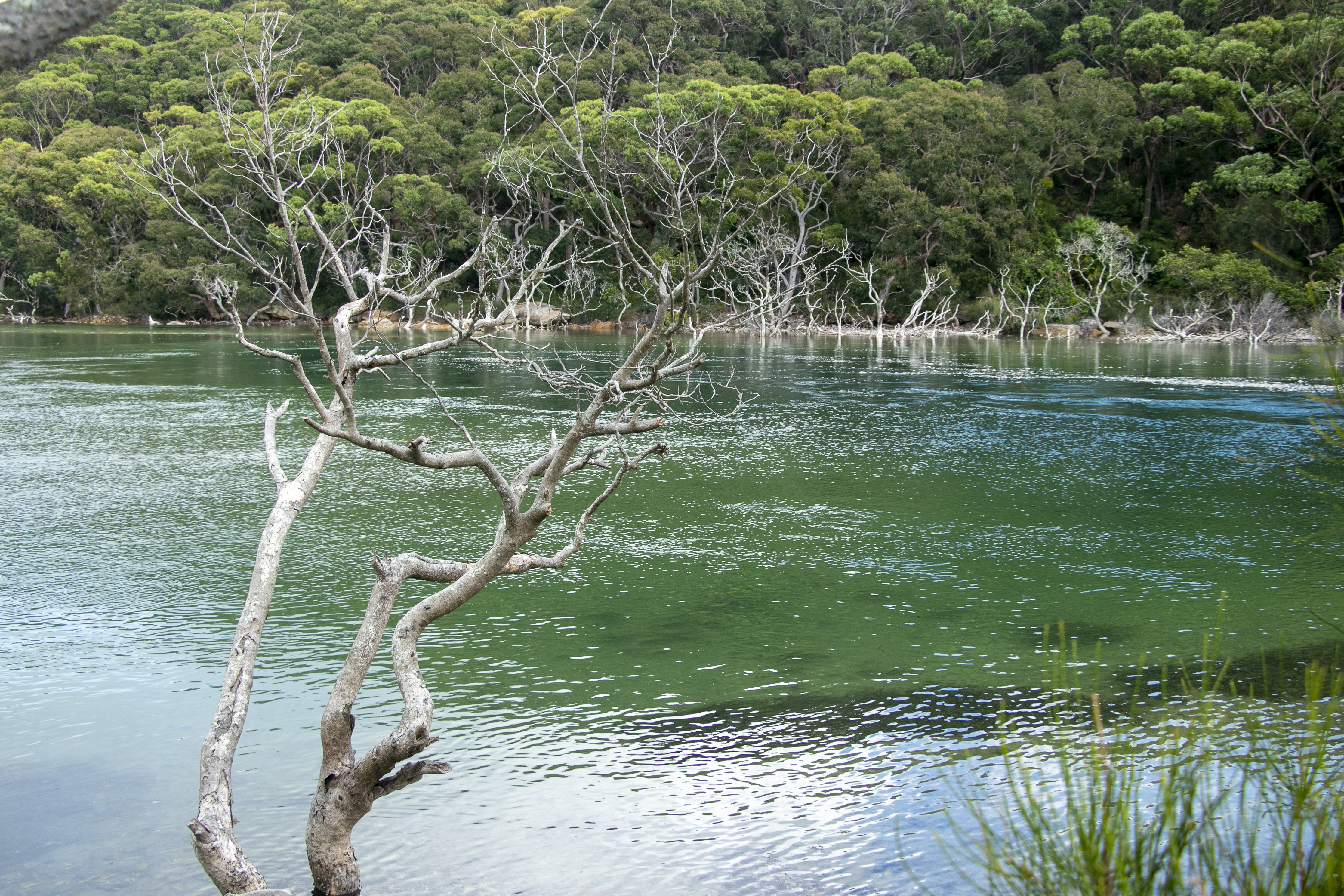
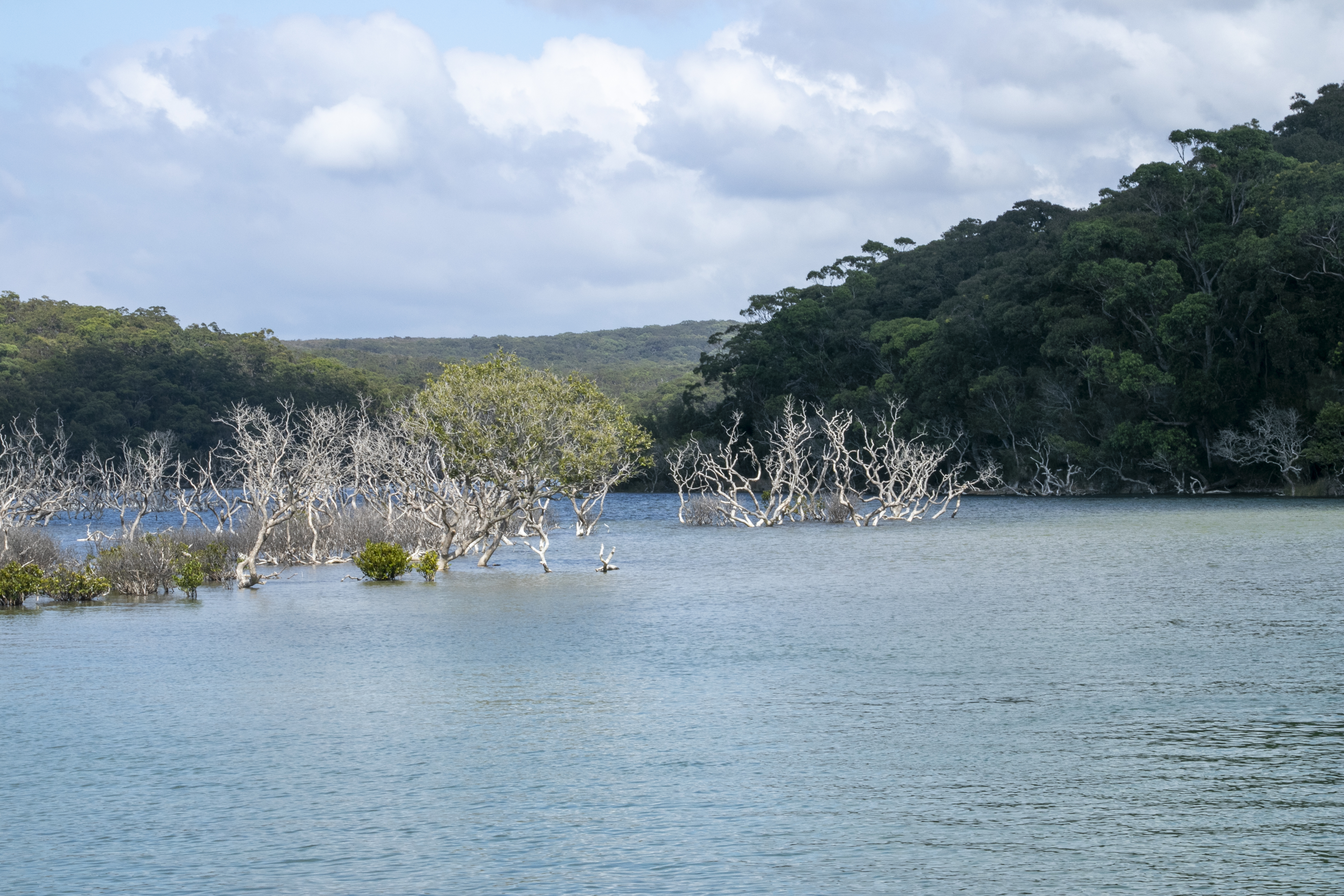
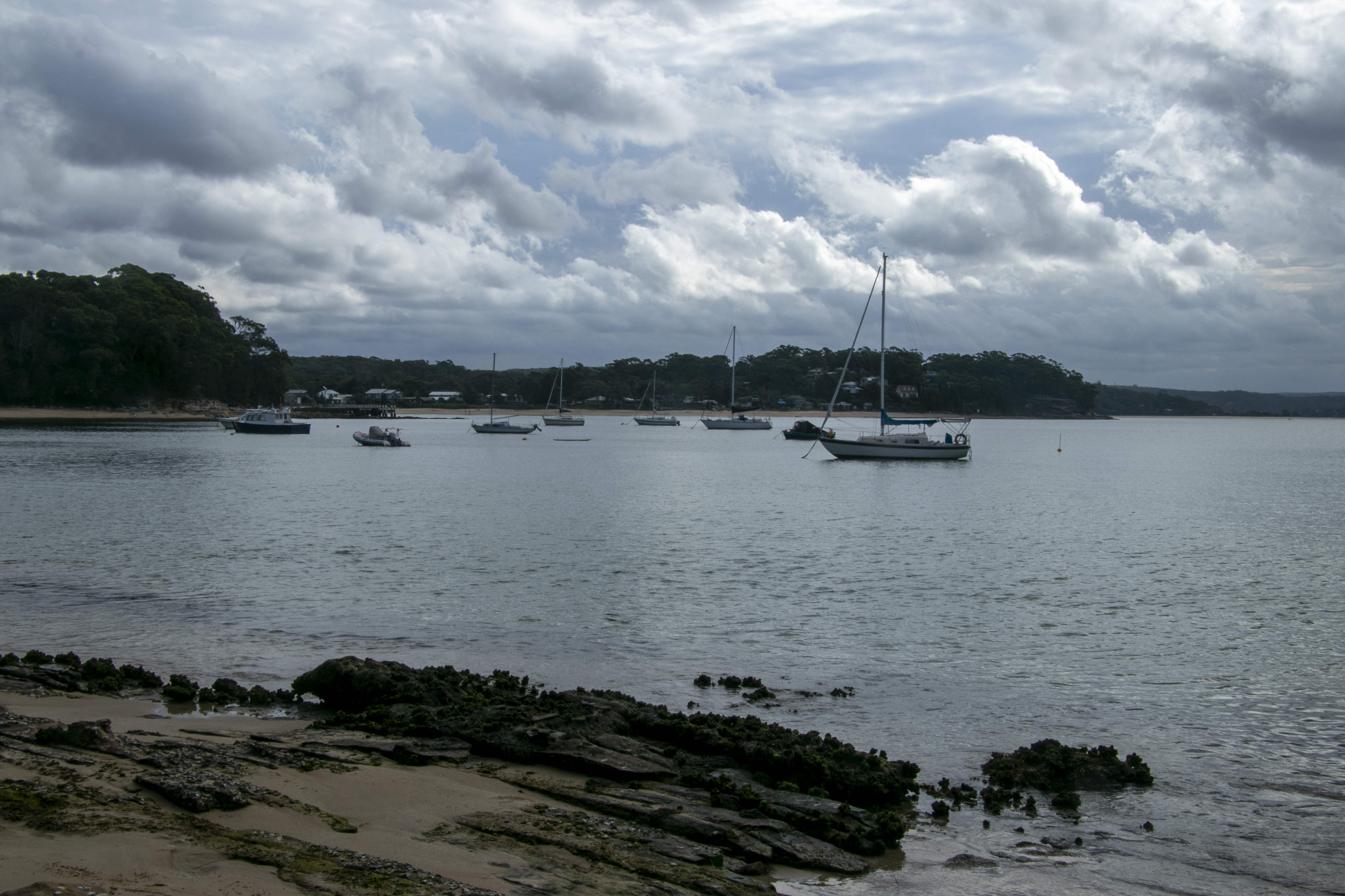
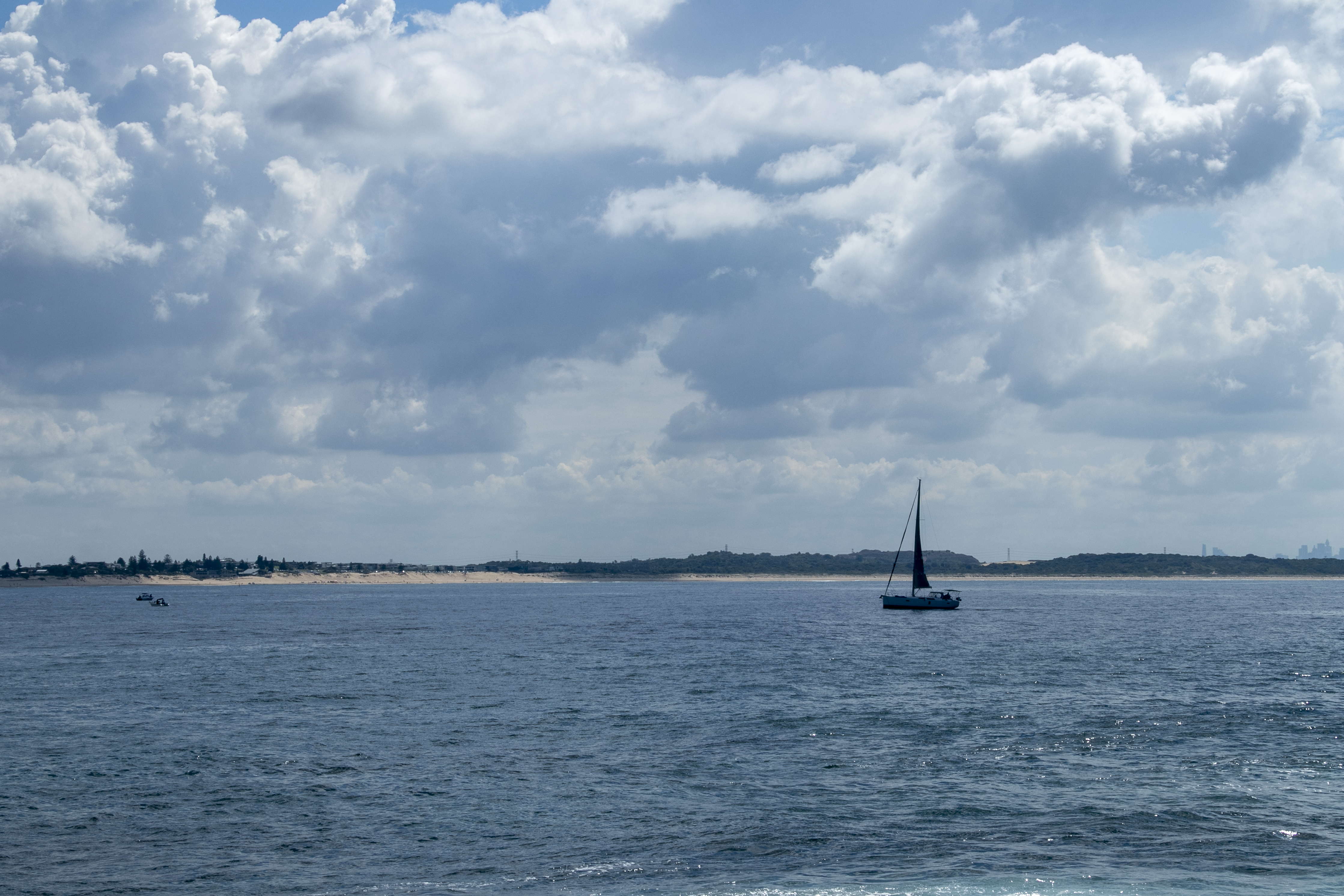
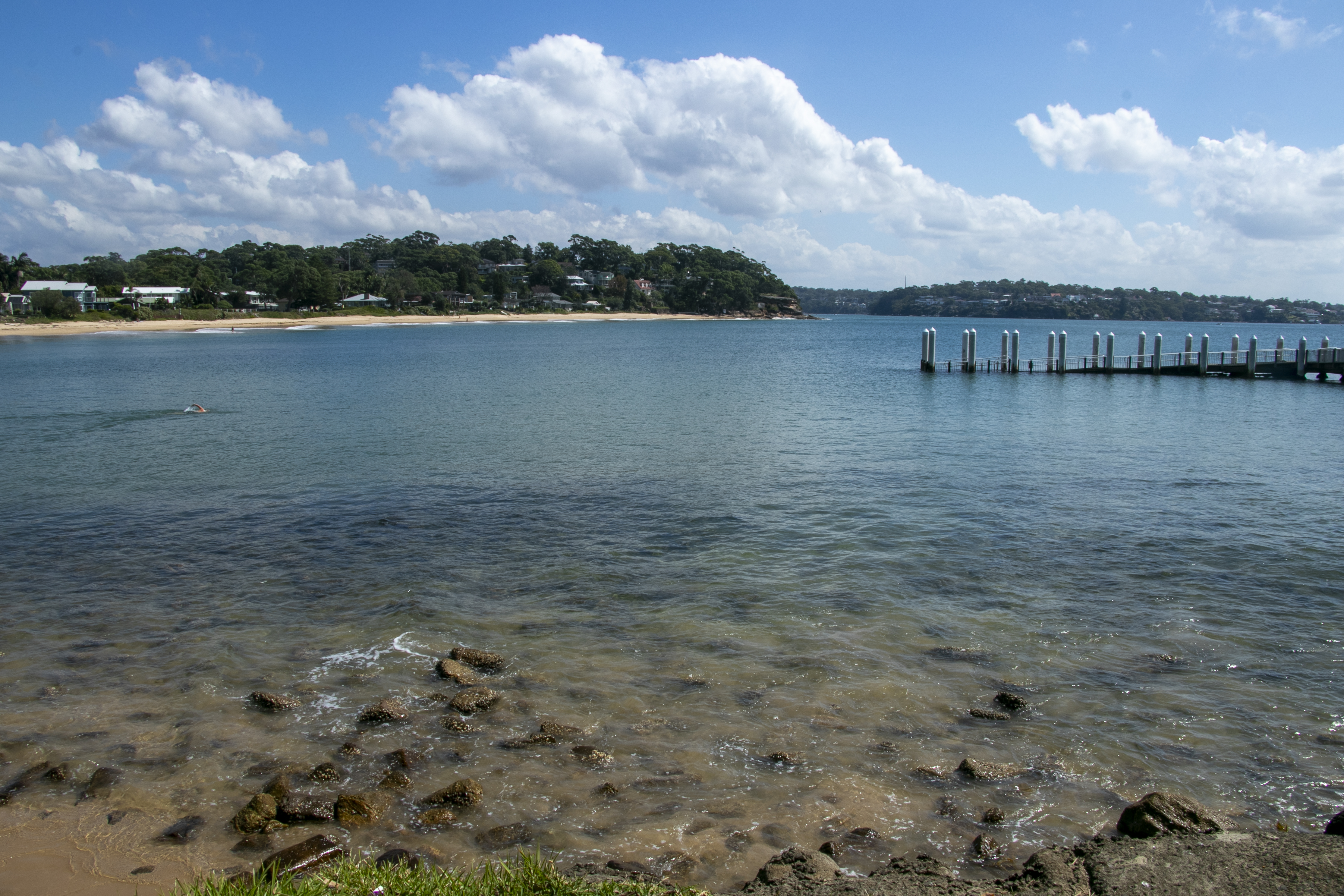
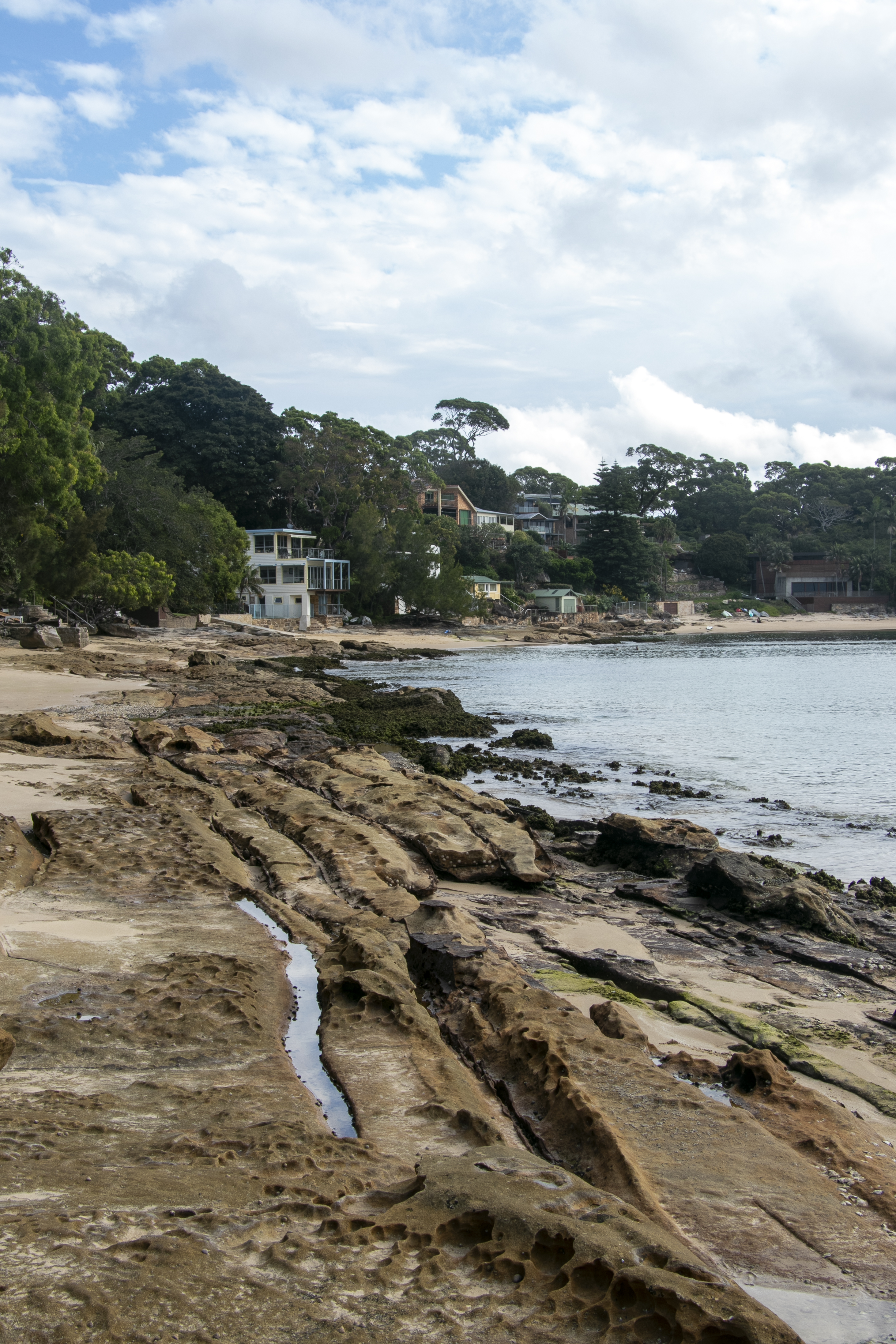
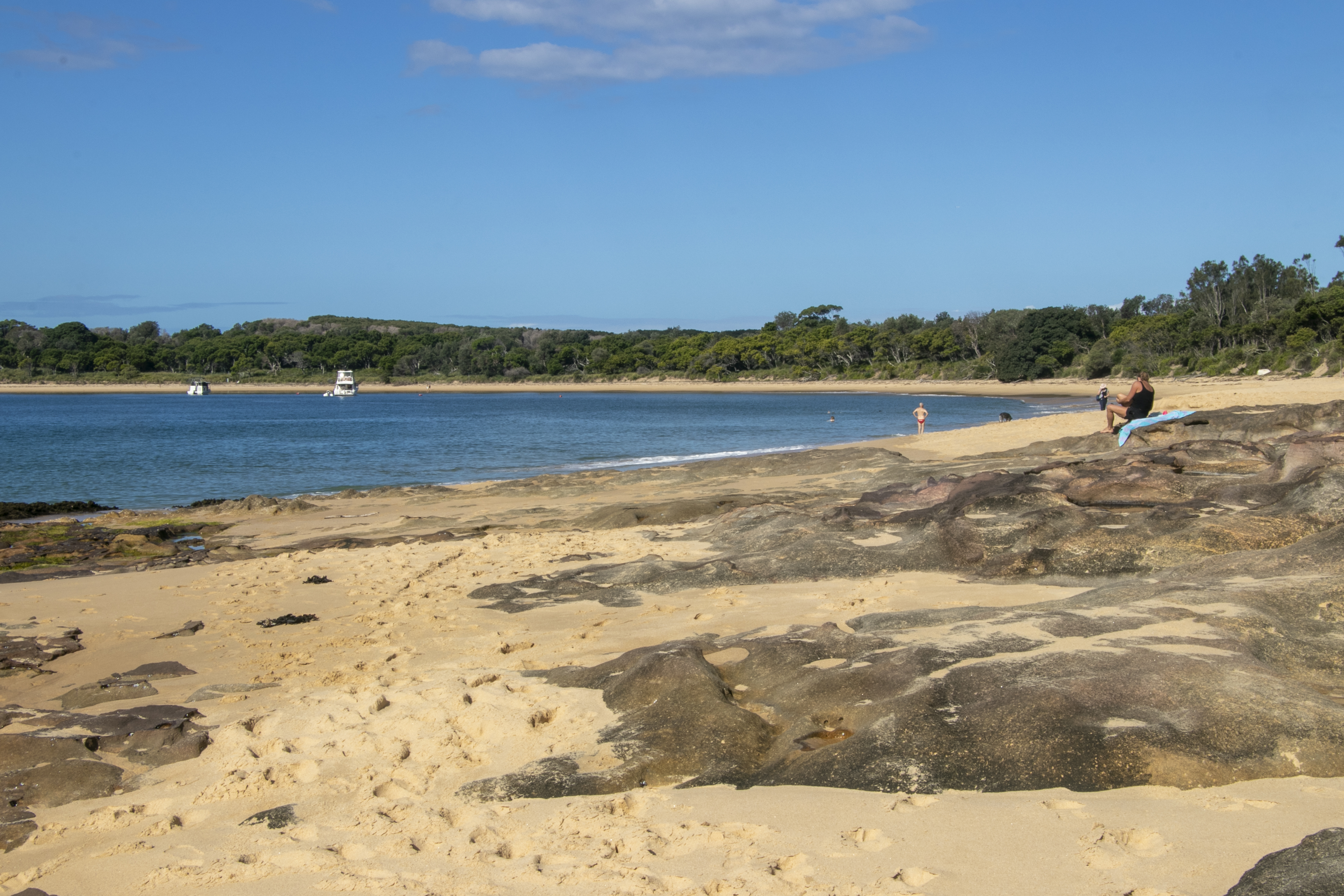
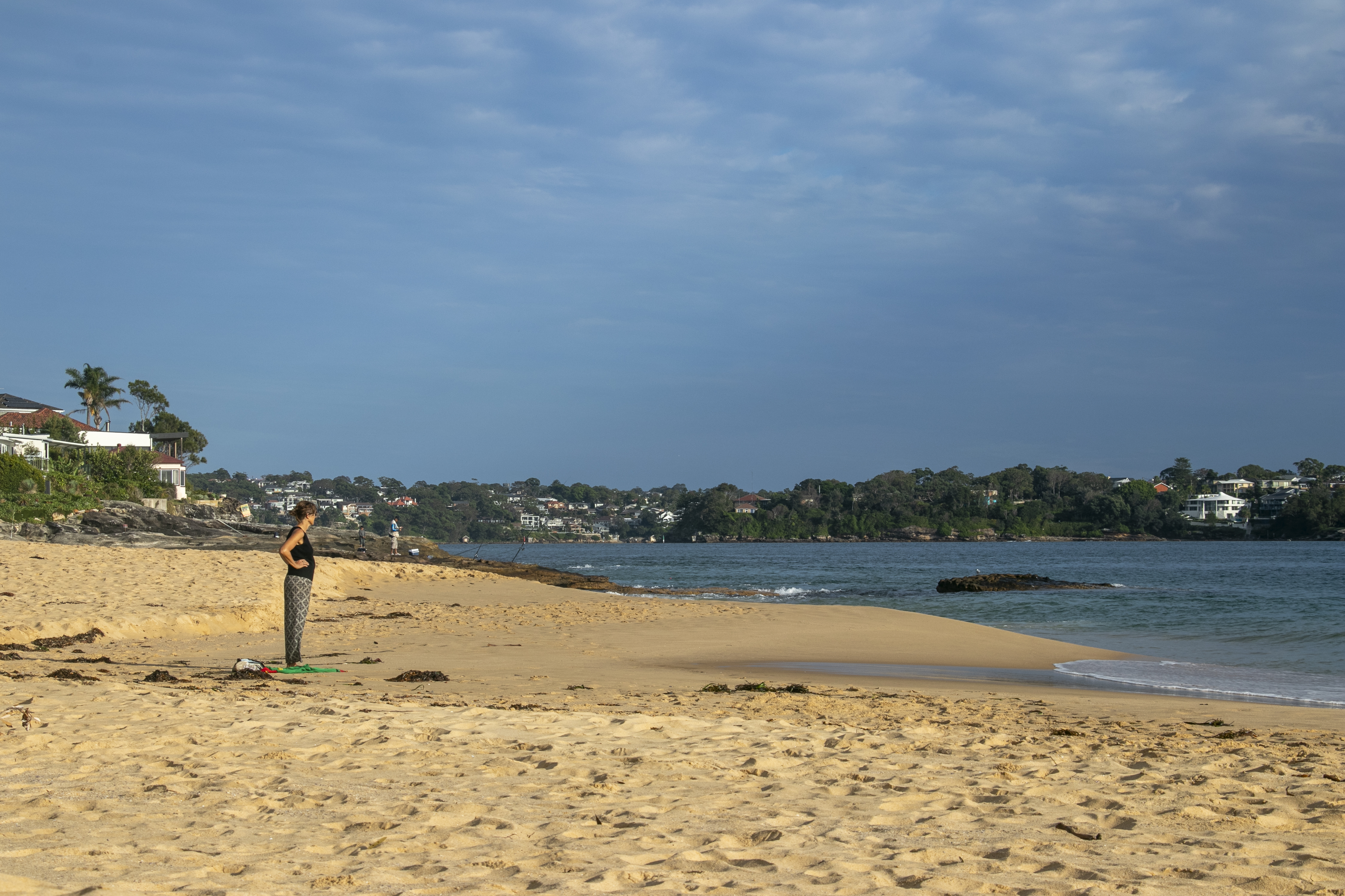
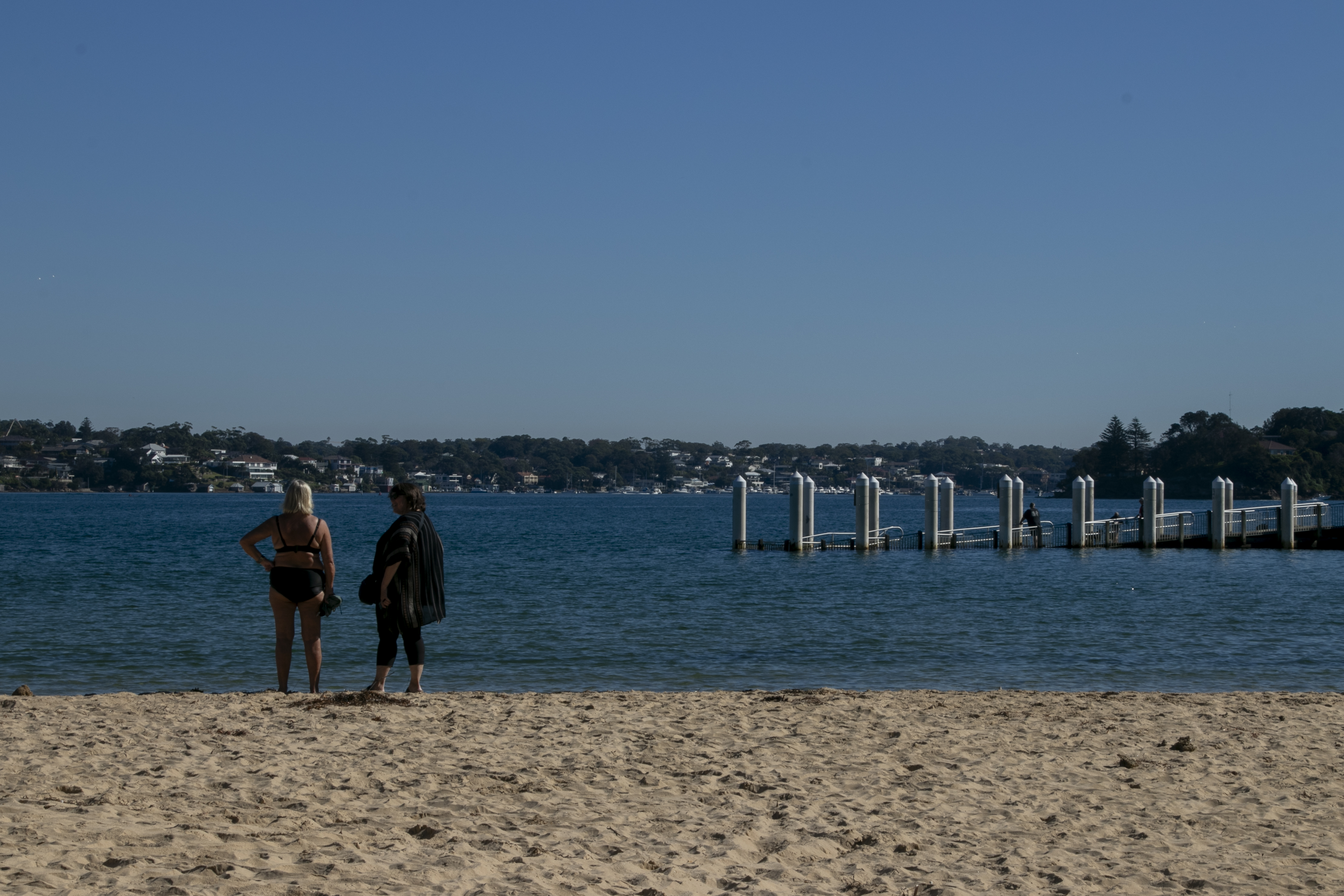
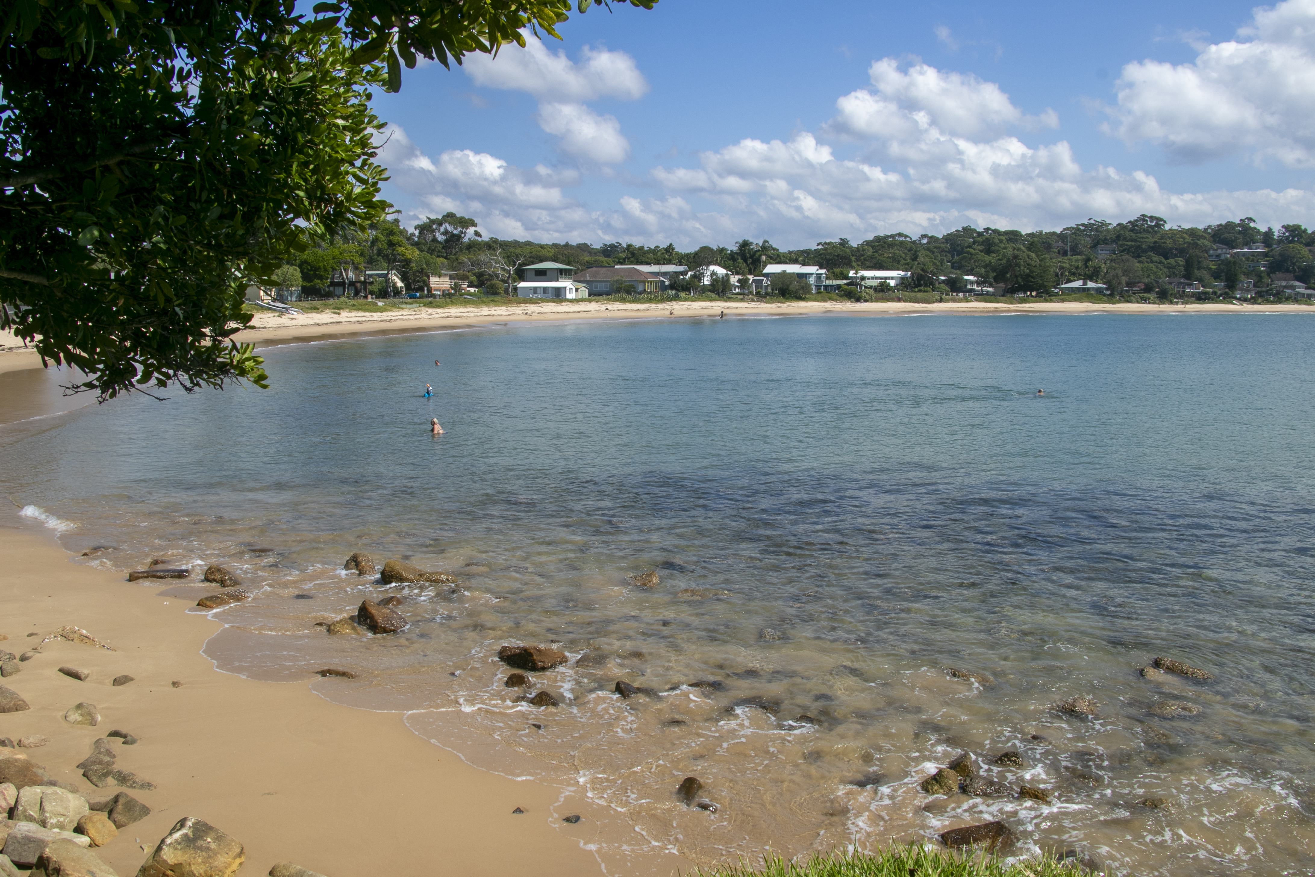
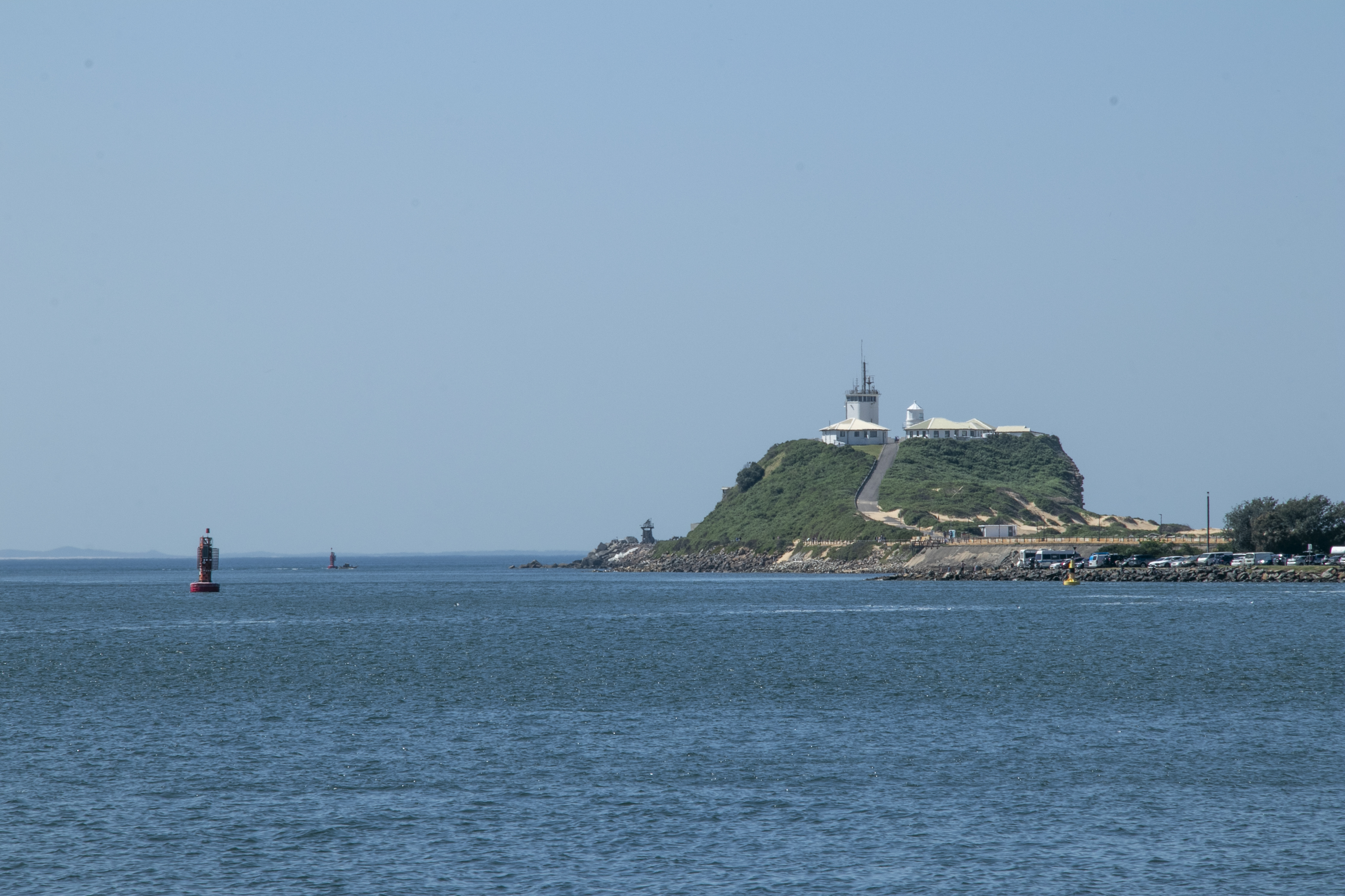
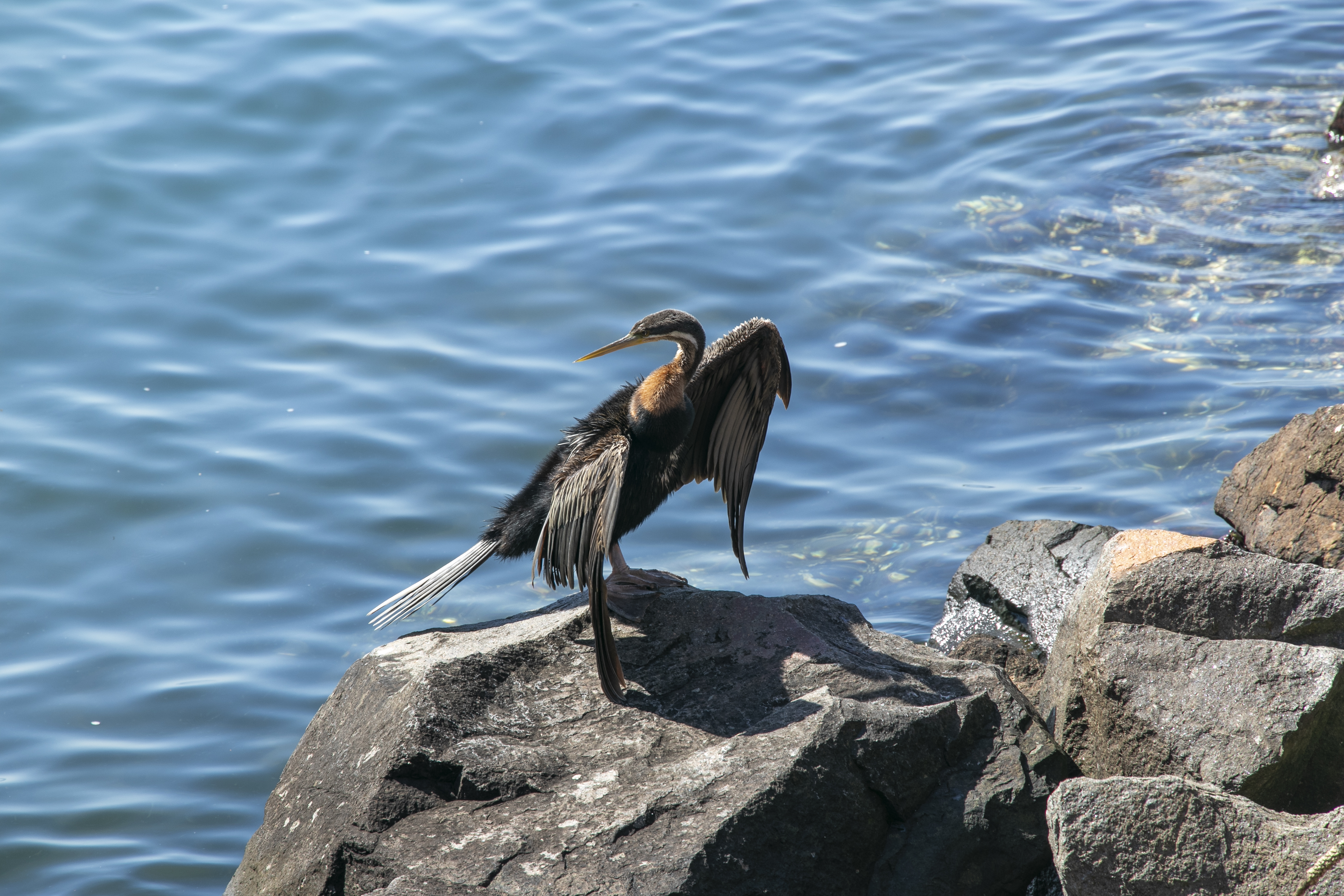
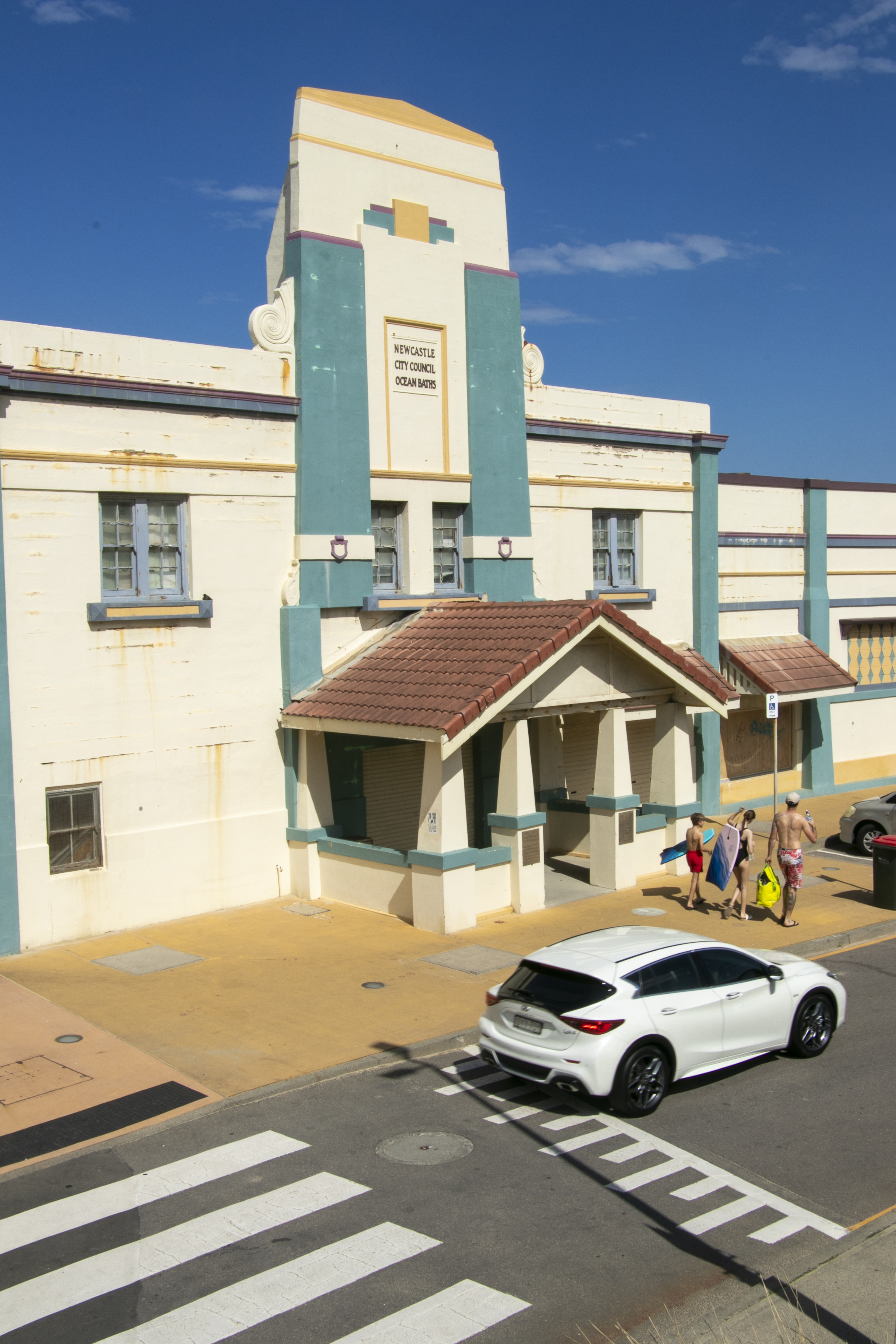
One of the things I loved about Newcastle is that it’s become a real walking city. There are K’s of walking/cycle paths around the city – down the river foreshore and winding around to the various beaches and rock pools/baths. Here are some sights from our Saturday stroll on the said paths.
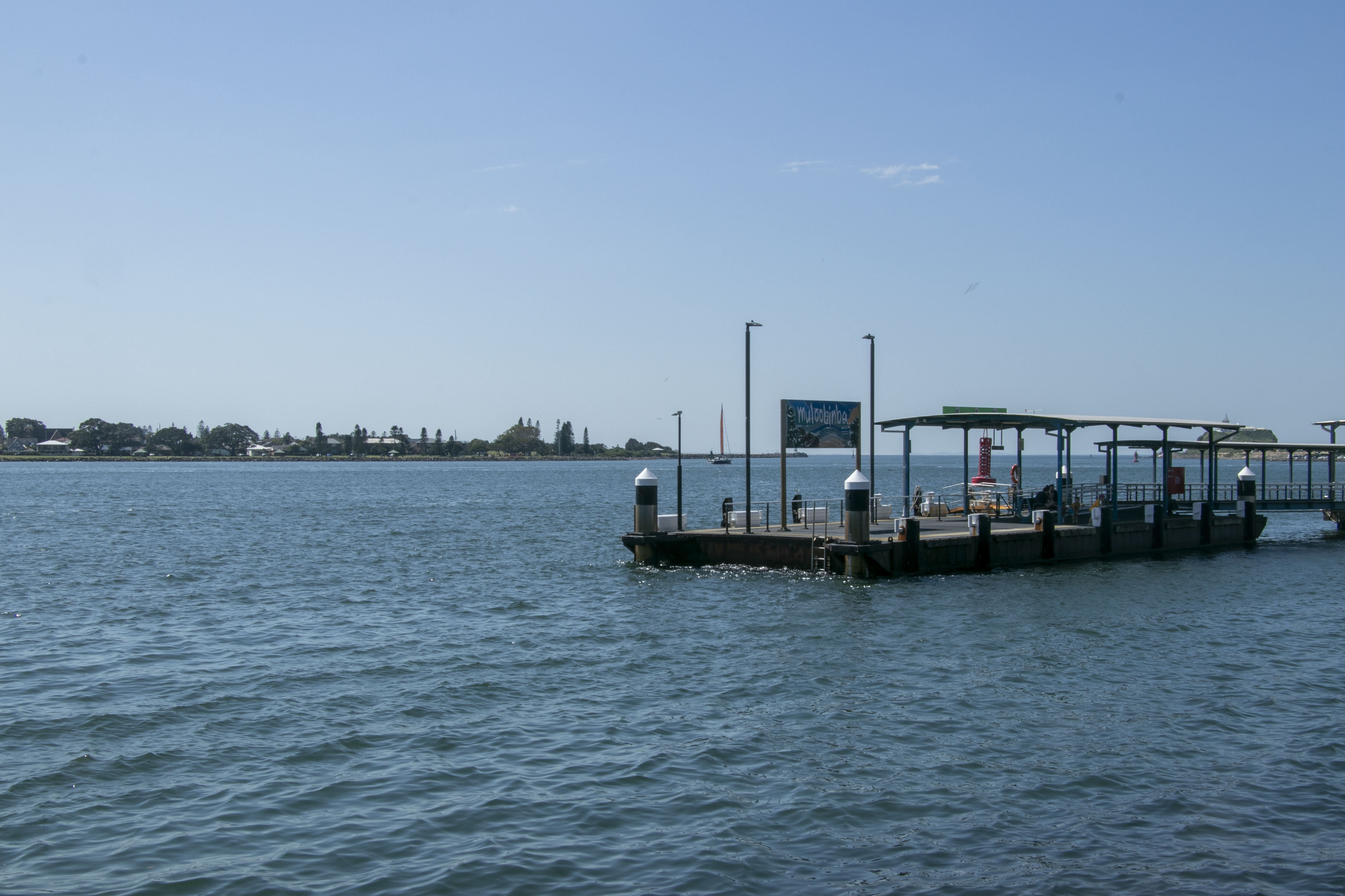

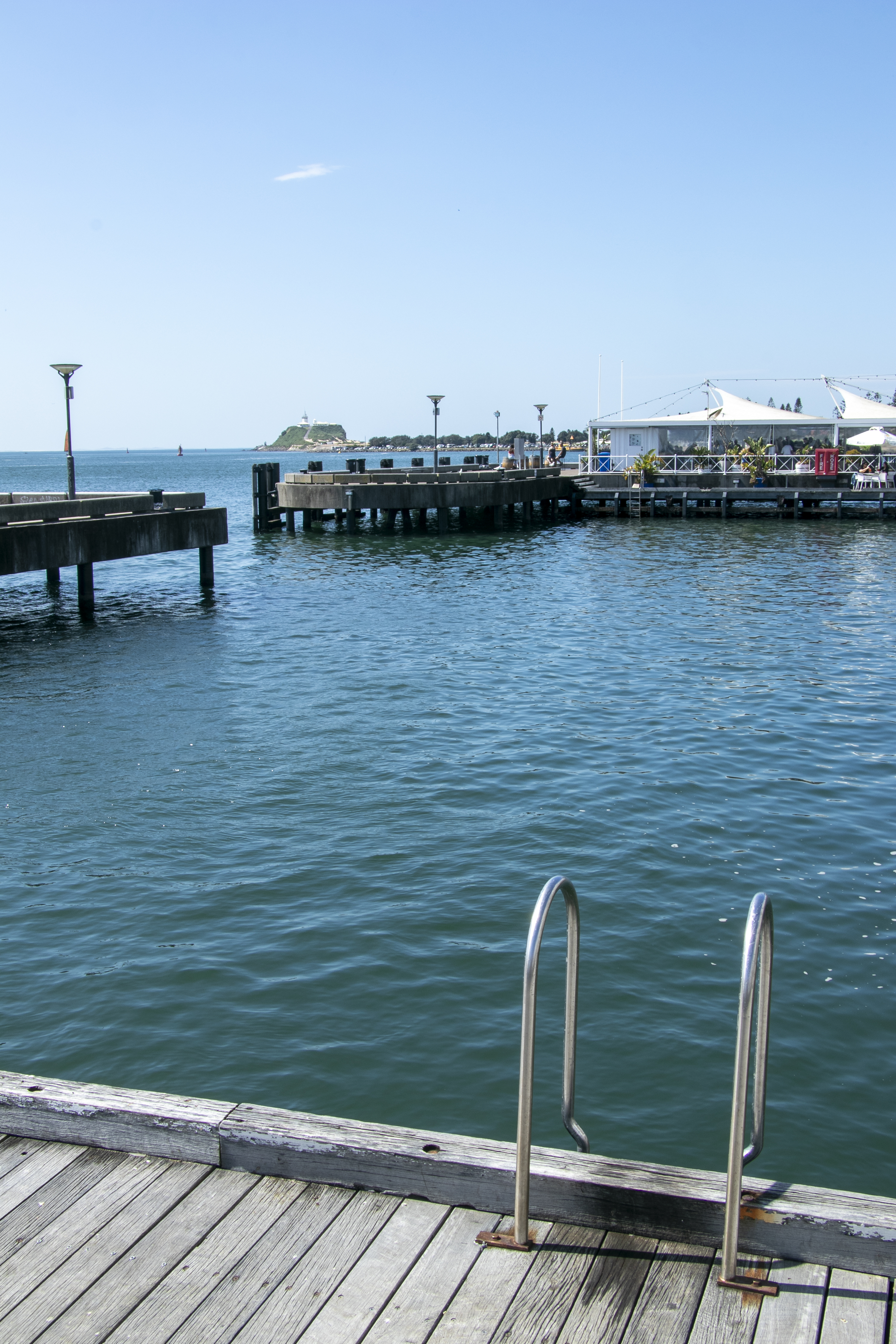
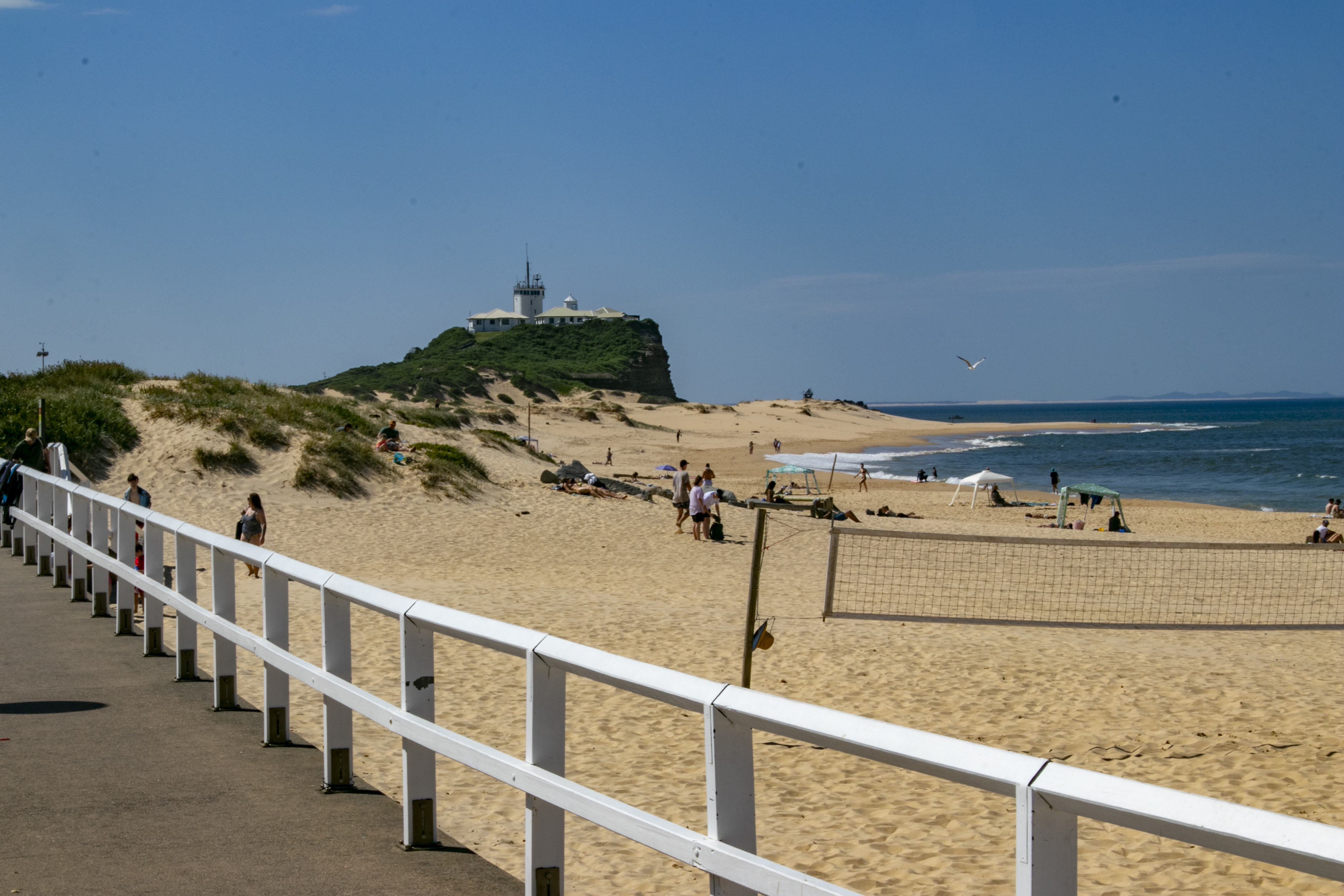
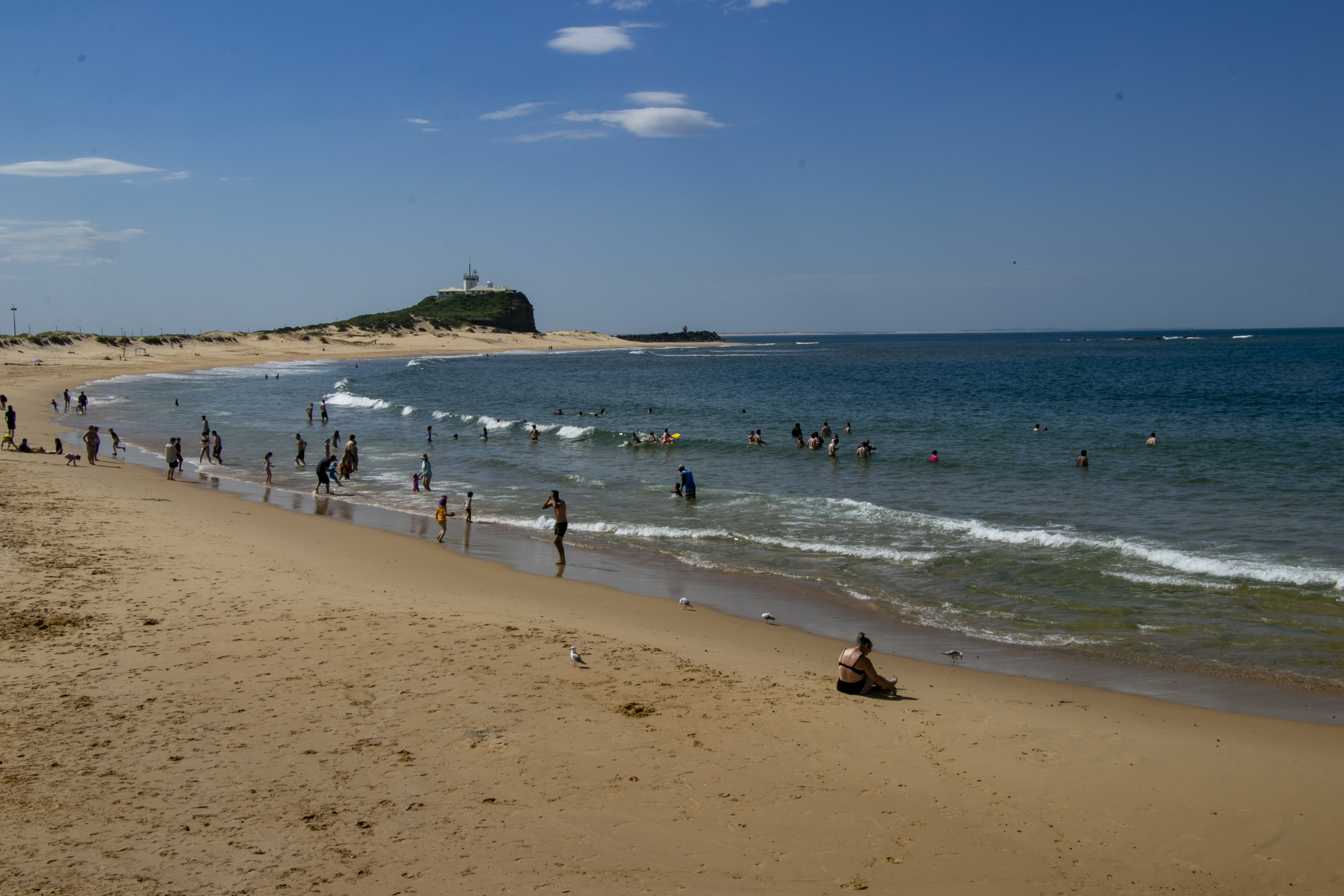
The locals have really taken to these walkways. You can find joggers, strollers, cyclists and dog-walkers on them anywhere and at any day of the week.
That’s all from our weekend in Newcastle. We’ll be returning to Newcastle sometime in the future.