Tag Archives: buller

From West to East – Part 2

We’ll continue driving from the west coast to the east coast of the South Island.

Driving Lewis Pass

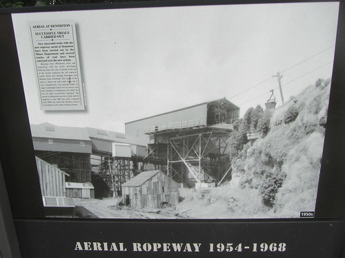
Our route took us through the small town of Reefton. It is another former gold-rush town (where they found an extensive gold-bearing quartz reef, hence the name).

Driving Lewis Pass

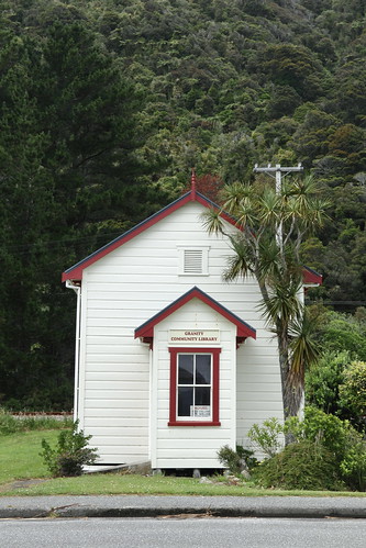
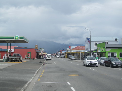
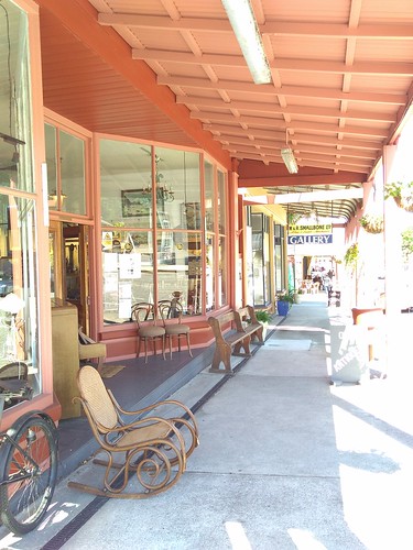
If it looks and feels like the ‘wild west’ then you’re not far wrong.

Driving Lewis Pass

Probably because the first gold was found in 1866, just after the Australian gold rushes started and not long after the Californian gold rush that opened up the American ‘wild west’. They all probably employed the same architects.

Driving Lewis Pass

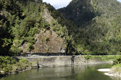
Because of the riches of the gold mines, and also the power of the nearby Inangahua River, the town was the first in the Southern Hemisphere to be connected to the electricity grid, courtesy of the Reefton Hydro Power Station.

From West to East – Part 1

The last big drive of our South Island trip was from the West Coast town of Westport to the East Coast city of Christchurch. We took the most direct route, through Lewis Pass.

Because I did most of the driving on the day, Hubby decided to document the day by taking lots of photos. It was a good thing he did because I was concentrating so much that I probably wouldn’t be able to recall much of the drive if it wasn’t for these photos. It also shows to you readers who haven’t been to New Zealand as yet what typical Kiwi road conditions look like. Now that the travel bubble between Australia and New Zealand is up, some of you might be thinking about having a holiday across the ditch. I say, go ahead, but be aware first and don’t take on too much. It’s not like driving from Sydney to Melbourne down the motorway.

How different is it? Let’s start our journey.

The first section of the journey follows the very pretty Buller River.

Driving Lewis Pass

The road is a typical Kiwi road, one lane each way. This gets even tighter in one section of the road, where it’s one lane full-stop, as the road has been hewn out of the cliff.

Driving Lewis Pass

Now, with a single lane, you hope that there isn’t anything large passing the other way, like a double tanker.

Driving Lewis Pass

Luckily that didn’t happen to us, however it didn’t mean that it wasn’t nerve-wrecking…

Pancake Rocks – Part 1

One day trip we did on the West Coast is to drive an hour south of Westport to the village of Punakaiki. The drive down required a lot of concentration as the west coast road was very windy (aren’t they all?) but despite the bleak weather, I think it was worth the drive to see Pancake Rocks.

Pancake Rocks

Pancake Rocks

The rocks were quite unique in that the do look like pancakes. There’s of course a scientific explanation to all of this, and like most things geological it’s not the work of an instant.

Pancake Rocks

Denniston – Part 2

Let’s continue exploring Denniston. Being on a plateau, a good 600 meters above the township of Waimangaroa and where the railway line stood, it took a bit of work to get the coal down to the trains for transport.

Denniston Heritage Site

They had a few ways of getting down. There was the road, but that was not very efficient, being winding, narrow, unpaved and so very dangerous. So they built a cable railway straight down the hill that was eventually called the Denniston Incline.

Denniston Heritage Site

Gravity would move the filled wagons down the hill and also pull any empty wagons back up.

Denniston Heritage Site

You can probably tell that it wasn’t the safest of ways to transport a fully-laden coal wagon, especially when the wagon derails, which was rather quite often apparently. Since no adult wanted to lose their life down the hill, the ‘drivers’ of these wagons were often young boys of 12 or 13 years old.

Well, that’s all from Denniston. Mining is still going on in the area, but on a hill some 20km further north. I hope today they’ve got a less dangerous method of transportation.

Denniston – Part 1

The West Coast of the South Island was once the site of a gold rush. People came between 1864 and 1867, just after the gold in the Victorian gold fields started to run out. This place was pretty different to Central Victoria though (ie. It’s cold, wet, and a jungle).

When the gold ran out, people looked to mine other things, and coal was one of those things. On top of the plateau behind the village of Waimangaroa is the former mining town of Denniston.

Denniston Heritage Site

The mine was worked from 1880 all the way to the 1960s. Nowadays, Denniston has been listed as a heritage site. A lot of the site is in ruins, but you can still tell a lot from the ruins.

Denniston Heritage Site

Denniston Heritage Site

There’s also plenty of signage to show how things were once.

Denniston Heritage Site

Denniston Heritage Site

West Coast Towns – Part 2

We explored a big West Coast town in the last post, but what about the tiny ones? There are plenty of them to choose from. Many towns were founded because of mining, timber or sealing/whaling. Not a lot of agriculture was established because the terrain was very mountainous with dense forests. Even the Maori found it hard going here and generally only came to find their precious greenstone (a form of jade).

17km north of Westport is the hamlet of Waimangaroa (long black river), which refers to the peaty river that flows through the town.

Waimangaroa

It might be small, but their war memorial is central to the town.

Waimangaroa

The bush and the hills that back the town is not very hospitable, but we’ll head up the top there in future posts when we’ll check out a historical mining site.

13km further up the road is the hamlet of Granity, another mining town. There’s also some steep, forested hills backing this town.

Granity

The town is not without its facilities though, as this former-church-turned-library testifies. Rather cute, I think.

Granity

West Coast Towns – Part 1

We left Golden Bay and headed for the wild West Coast. Although it is generally less than 50km as the crow flies from Golden Bay to the West Coast, this area is so rugged that there aren’t any roads through the area, though it’s great for real outdoor types. A famous walking/hiking/tramping track, the Heaphy, passes through here and though beautiful, I heard it’s not a Sunday stroll by any means.

So who dares to live on the wild west coast? Only the hardiest of Kiwis – it’s wild and woolly most of the time in the west. There are towns scattered throughout, though it doesn’t get much larger than Westport, population a touch under 5,000.

Westport

Like a lot of Kiwi towns, it has its share of art deco public buildings, as the older buildings were all destroyed in an earthquake in 1929. Earthquakes are a common theme in New Zealand.

Westport

Close to Westport is Cape Foulwind, named by Captain Cook, who didn’t have very a good time on the West Coast.

Cape Foulwind

At least now there’s a lighthouse to warn people away from the dangerous coast.

Cape Foulwind