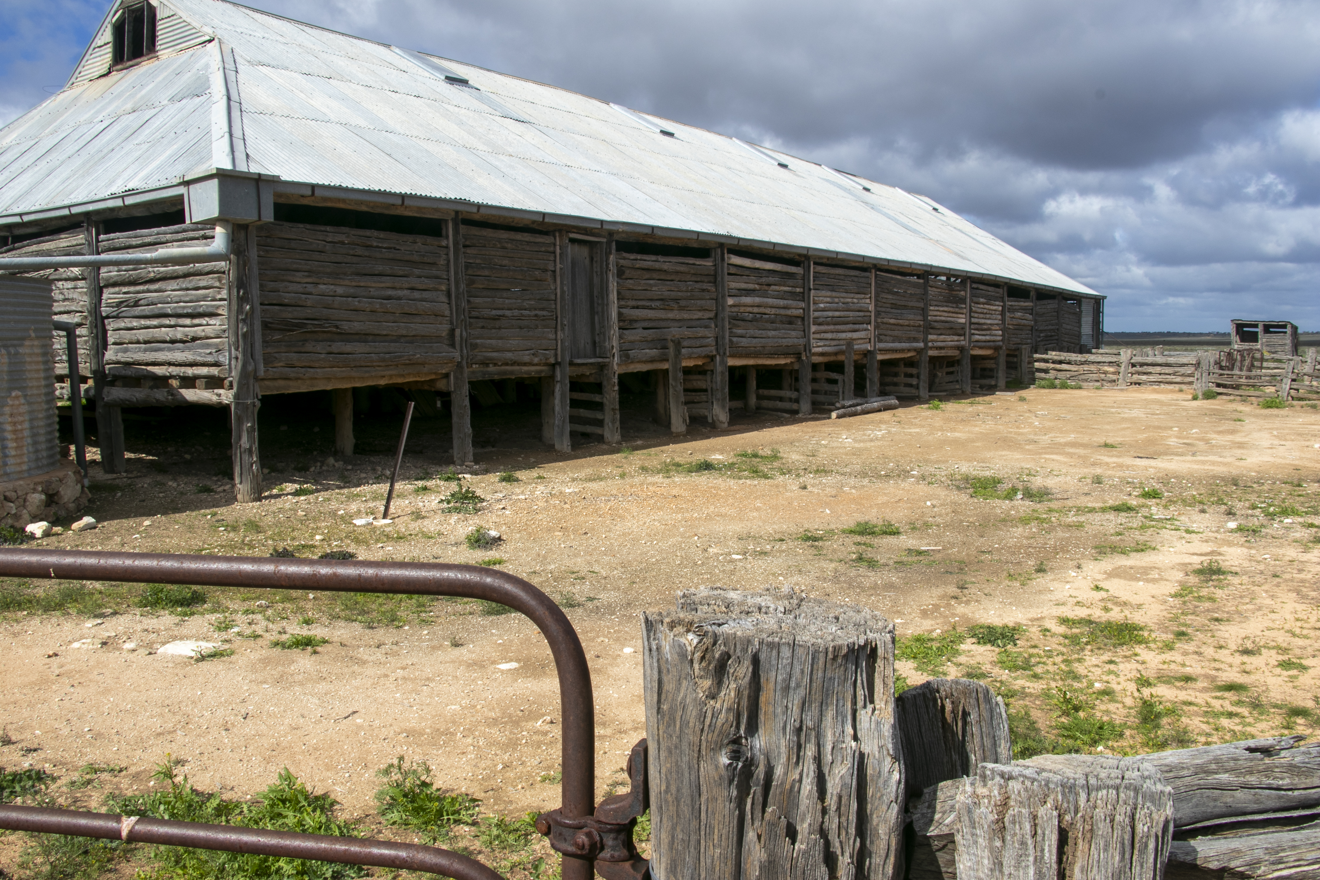
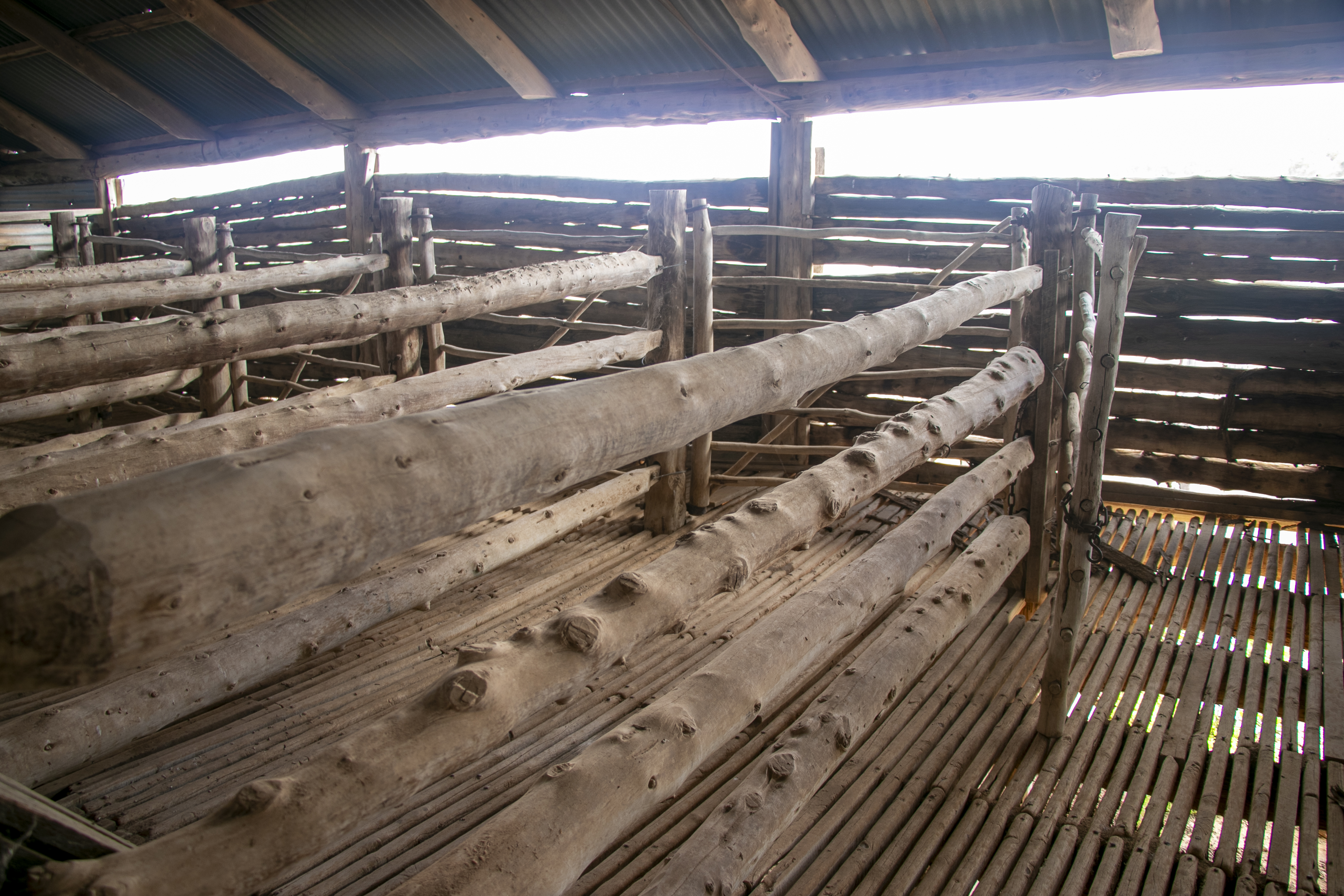
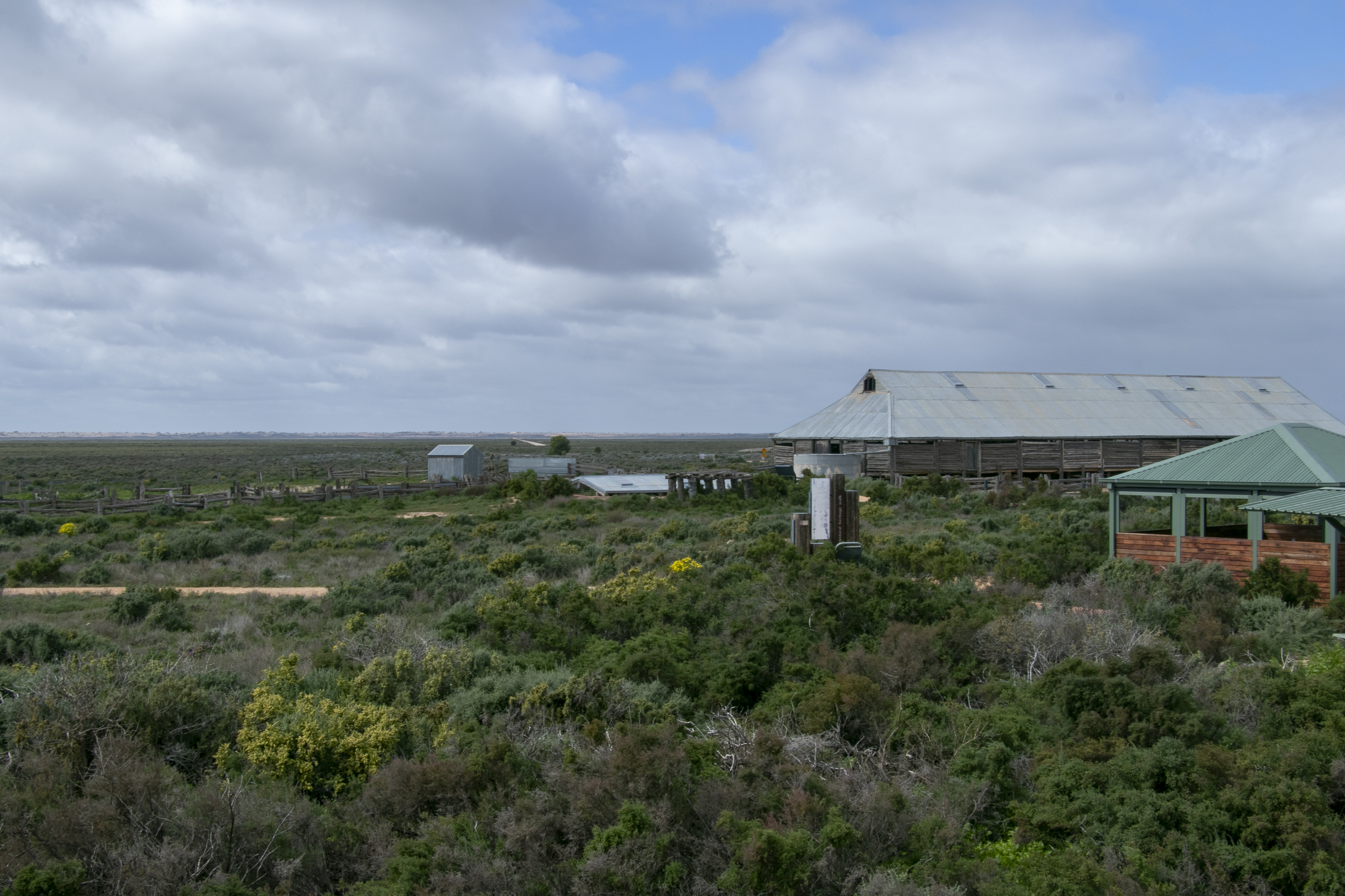
Next to the visitor’s centre at Lake Mungo National Park is the old wool shed. It was built in 1869 from local wood and was part of Gol Gol sheep station. The station had indigenous as well as Chinese labourers, many who came to Australia during the gold rush that had taken place across NSW and Victoria. By 1869, the gold fever had abated, so these former miners sought other work, frequently on pastoral properties across the country.
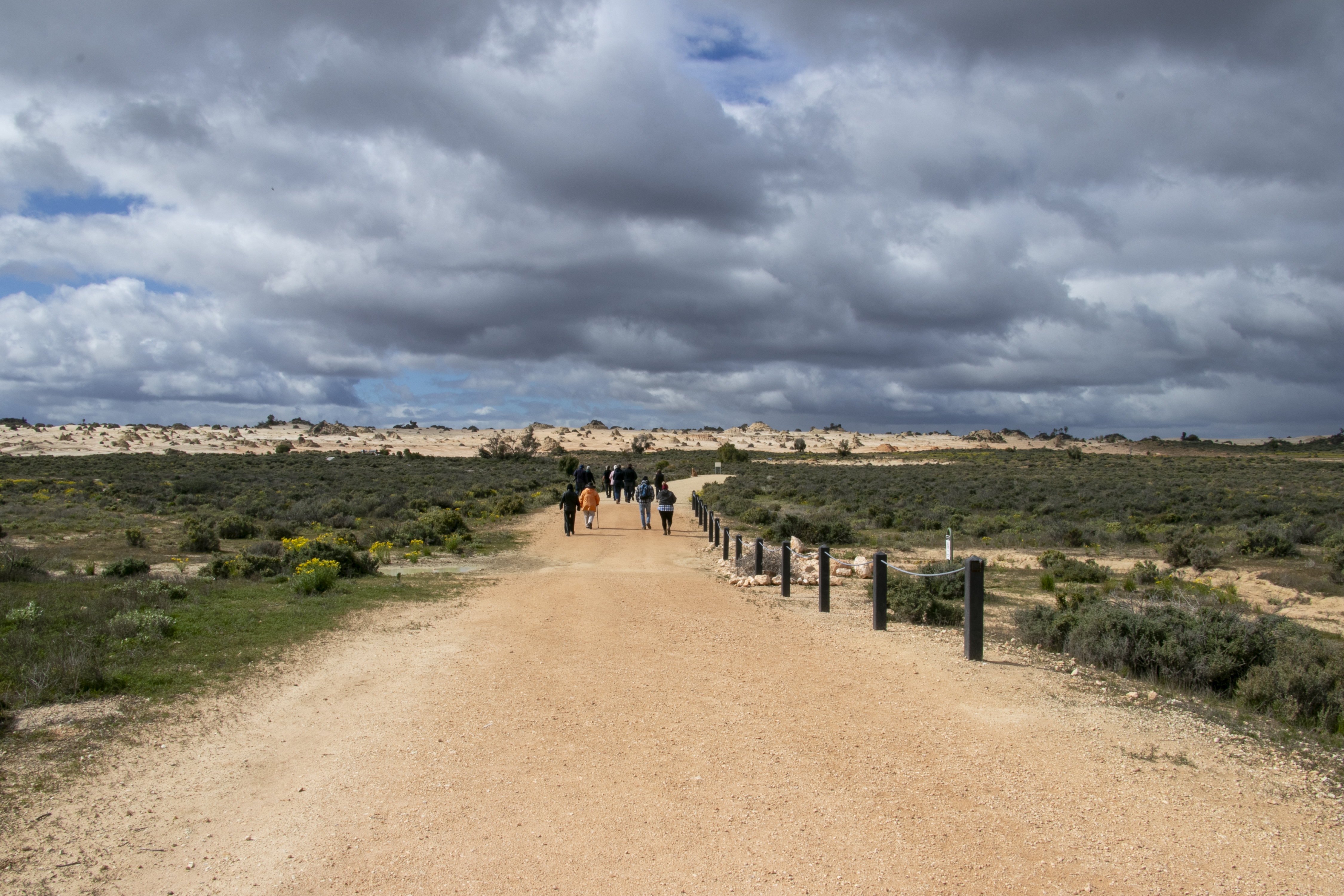
When these Chinese workers looked across the dry lake bed at the sand dunes on the other side, many were reminded of their homeland, and the wall that ran across it. Hence, the dune formations were called the ‘Wall of China’.
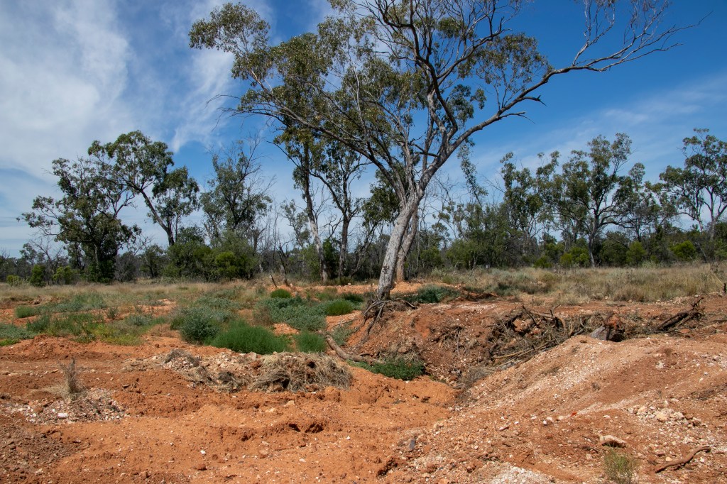
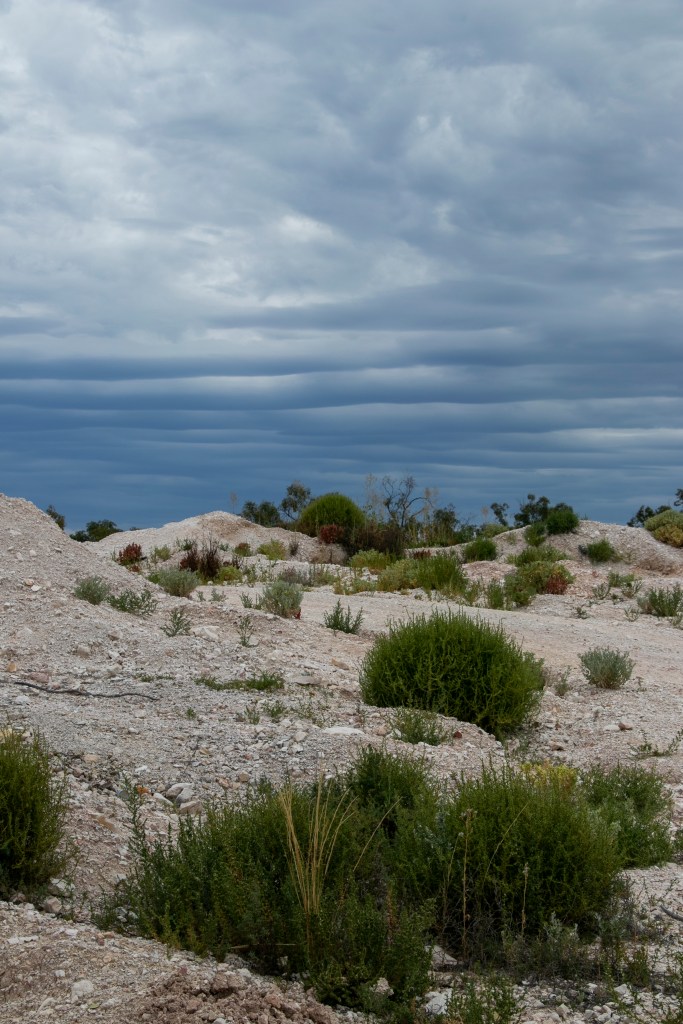
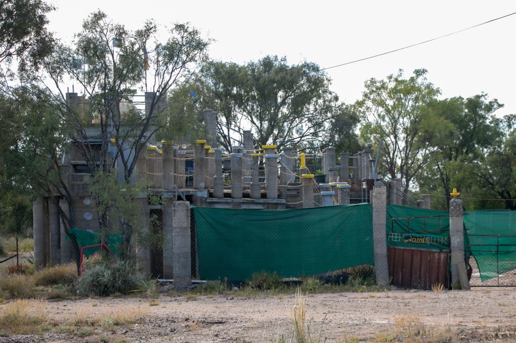
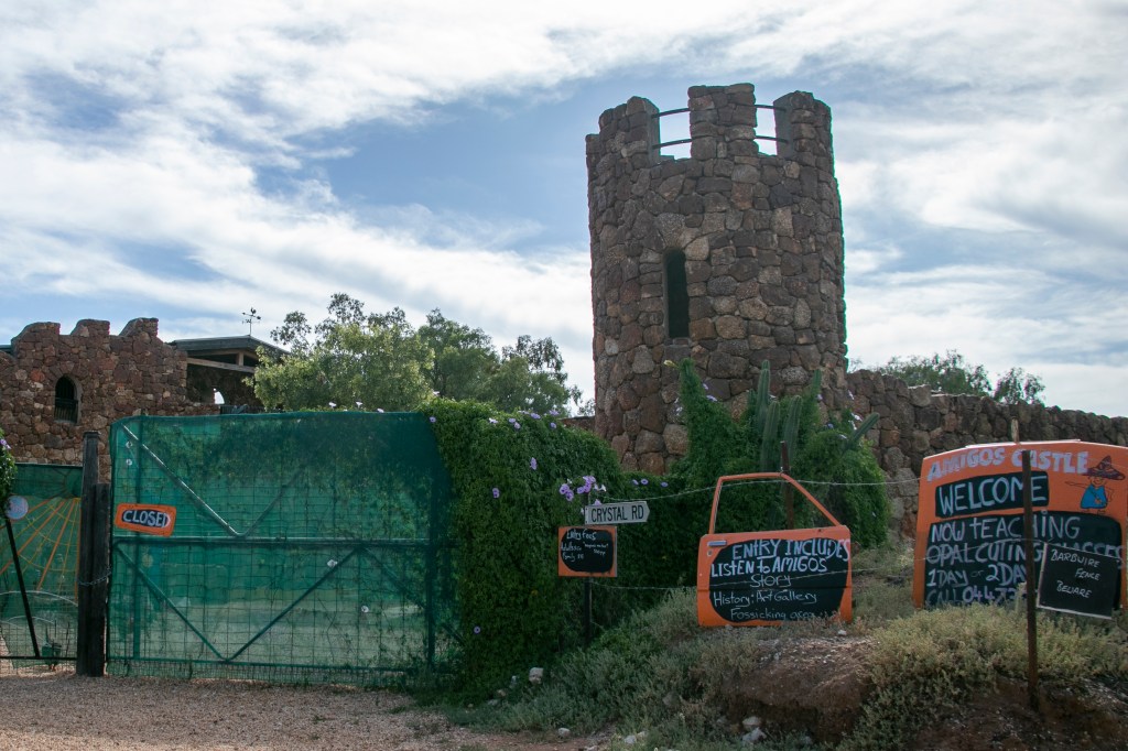
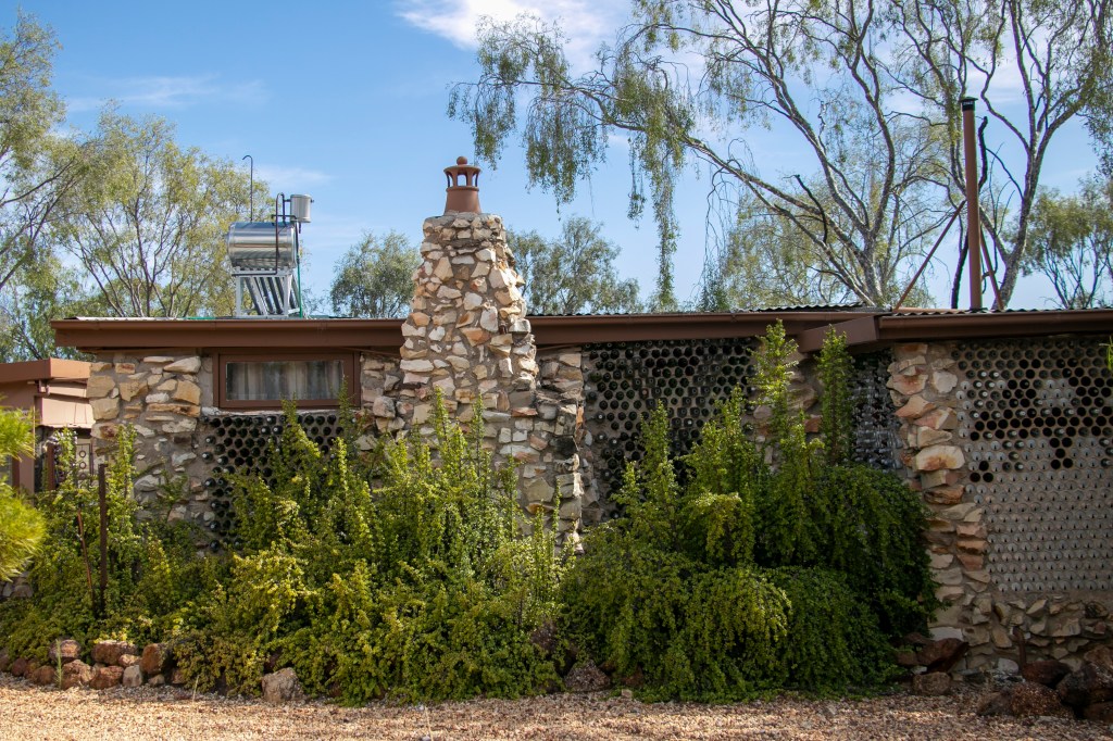
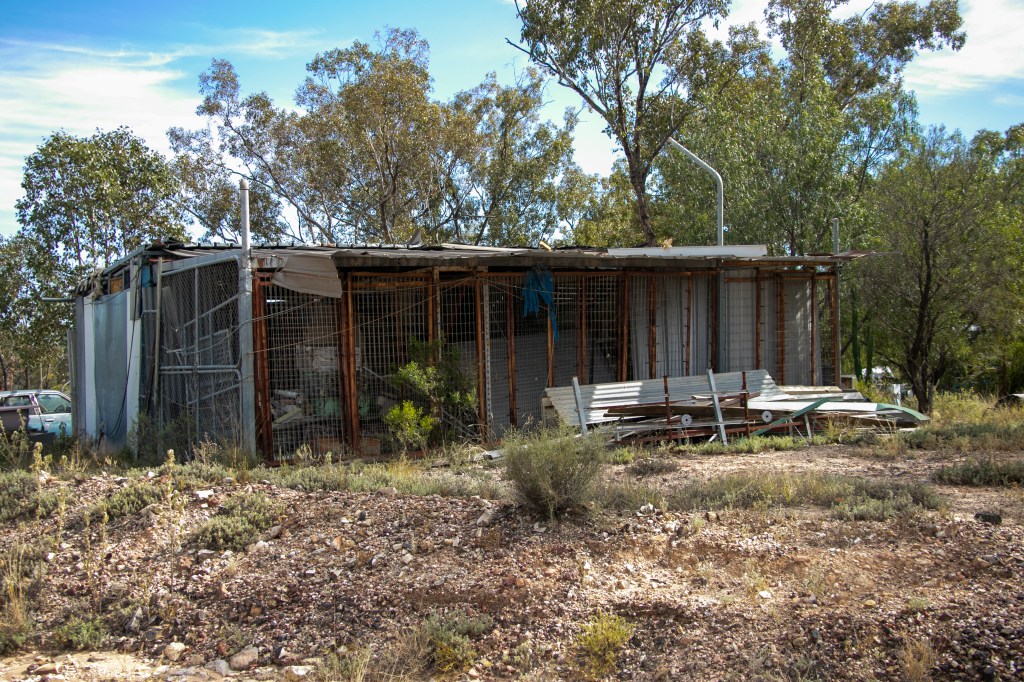
Lightning Ridge is a mining town. It is remote. It has a harsh climate. It is in ‘woop woop’ by the standards of most East Coasters. What does the land look like? A bit like this.
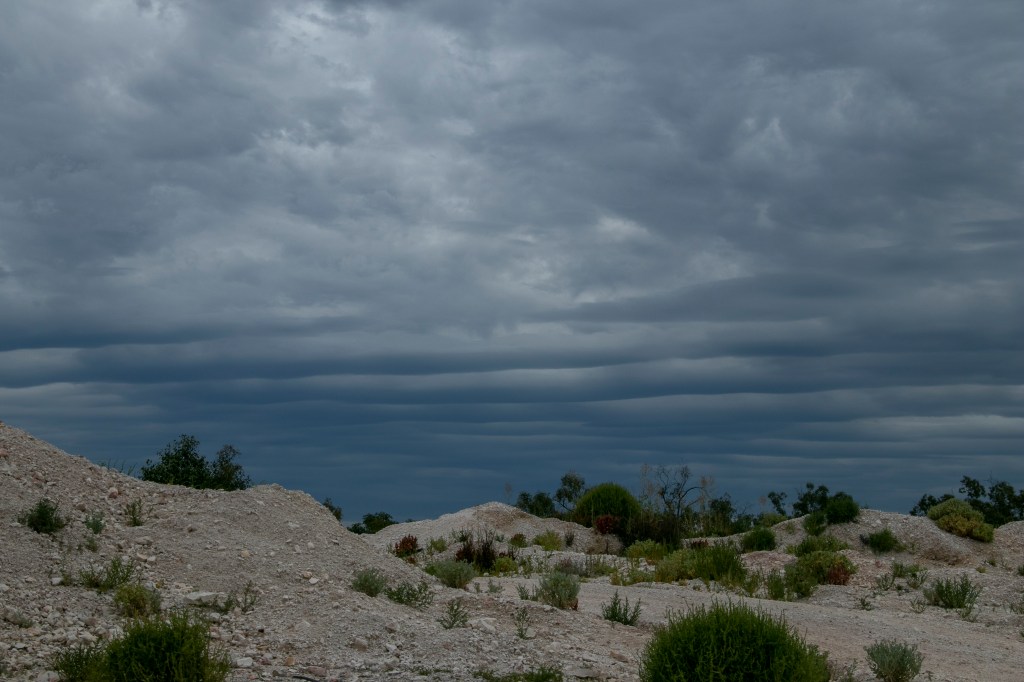
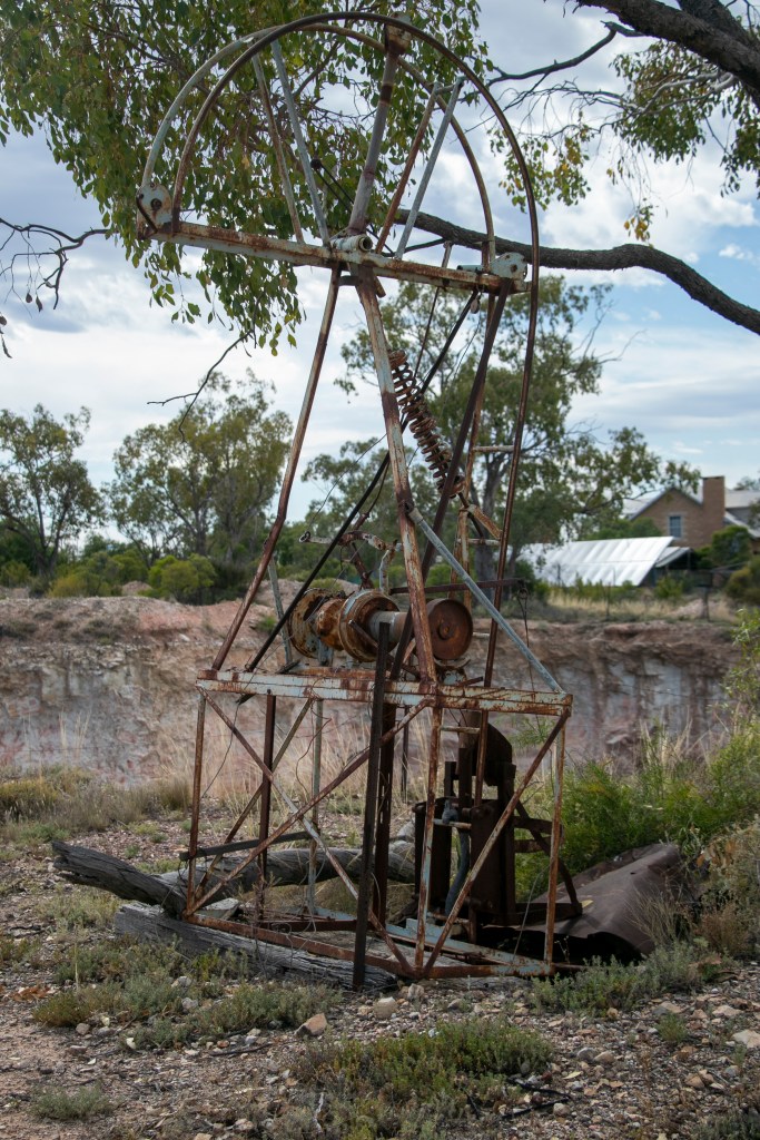
The mining that occurs around the town is usually done by individuals or small groups as opals can’t successfully be mined on an industrial scale. Hence there are no really enormous holes in the ground, just thousands of little ones.
Mining is usually people’s winter ‘job’, as the high summer temperatures mean that it’s too difficult to stay year-round. In summer, they run back to the coast!
Many miners live on or near their mine ‘lease’, and council regulations appear non-existent, so they are free to build what they like. Some are so imaginative that they’re now tourist attractions.
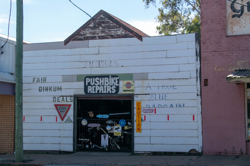
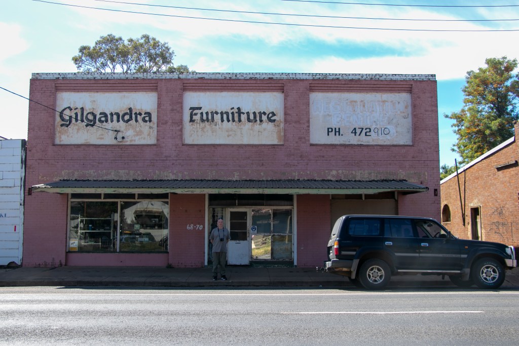
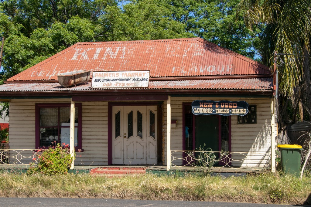
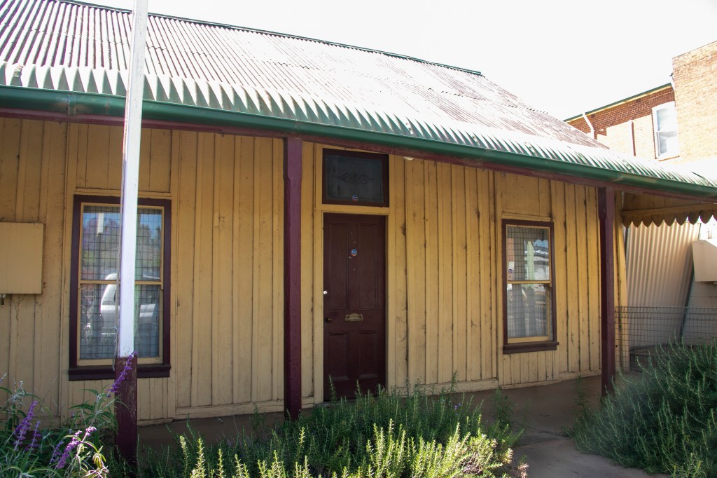
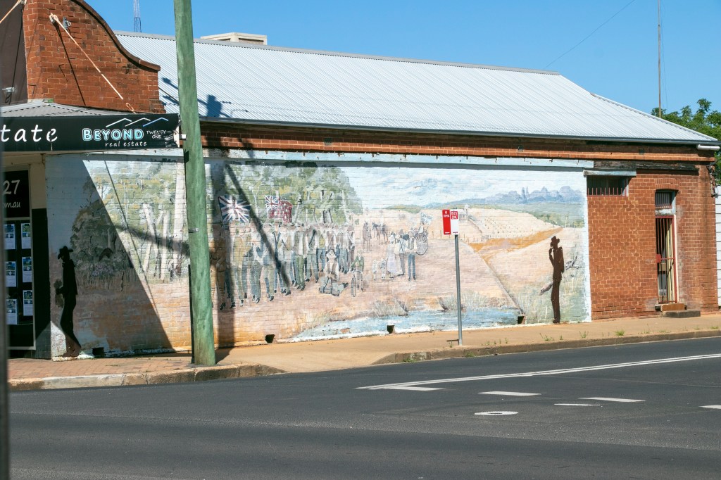
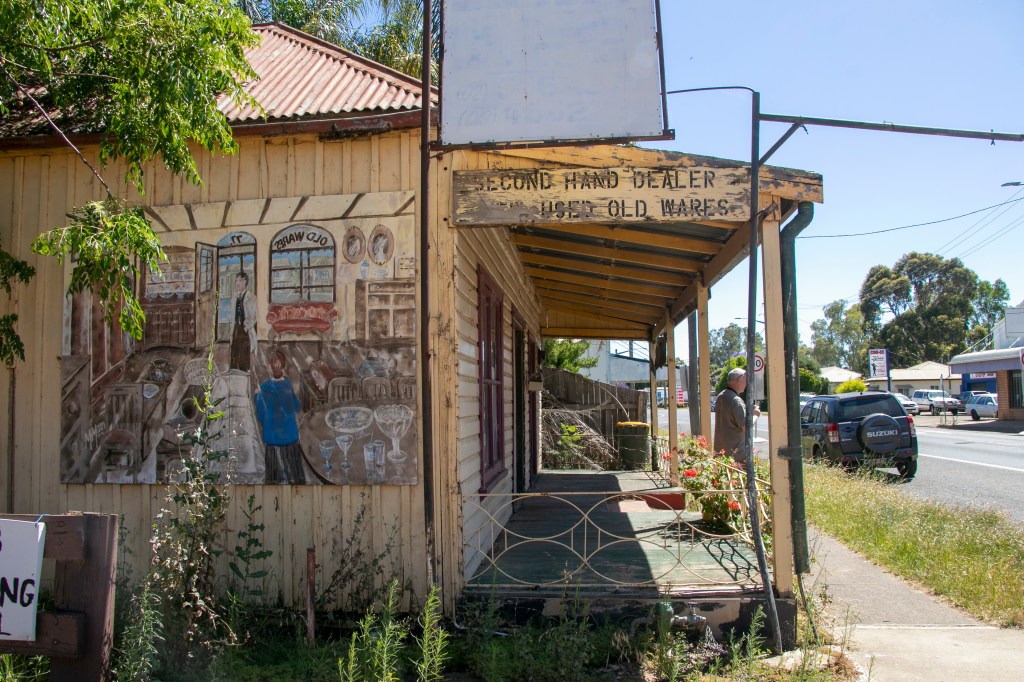
Let’s start our study of Outback NSW towns with Gilgandra. By definition it is a Central West town (it’s less than 70km north of Dubbo, a genuine Central West NSW town), but since it is on the road to the Outback, we’ll classify it is an outback town for this post.
Being so close to the metropolis of Dubbo (whose population is nearing 45,000) means that Gilgandra is virtually a suburb of Dubbo. It also means that any facilities it once had had been taken away, as it’s just as ‘convenient’ to go down the road an hour (which is the country equivalent of 10 minutes by city standards). It’s left many of its shop-fronts vacant – they’re relics of a by-gone era. On the plus-side, it’s close to facilities, with real estate prices that haven’t yet gone through the roof.
The town was certainly on the sleepy side when we dropped by, but was a pleasant change after the controlled chaos of Dubbo (those roundabouts are worse than Canberra’s – big call, I know, but have you ever shared a roundabout with a road-train?).
I like the murals that were dotted around the town. They are now a feature of a lot of country towns, I noticed, and I wholly approve. The more art the better, I say!
My last few posts were about the seaside, but we’re going to gradually make our way deeper in-land for awhile.
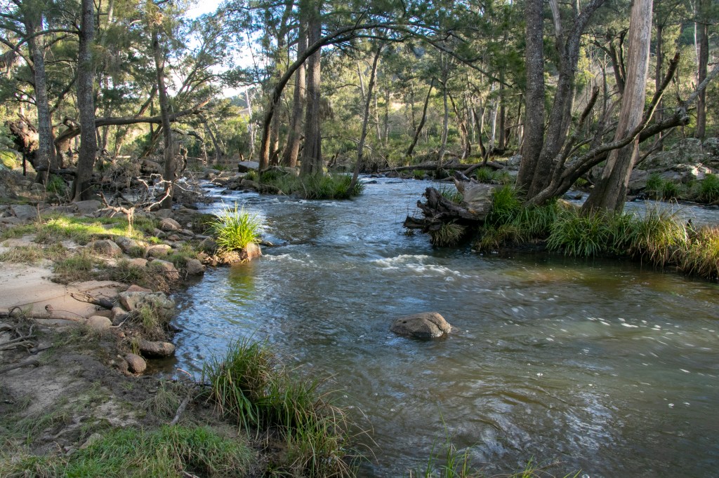
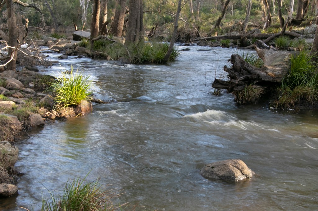
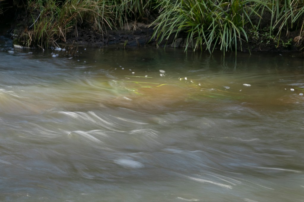
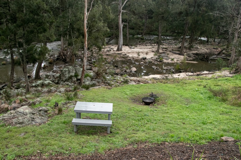
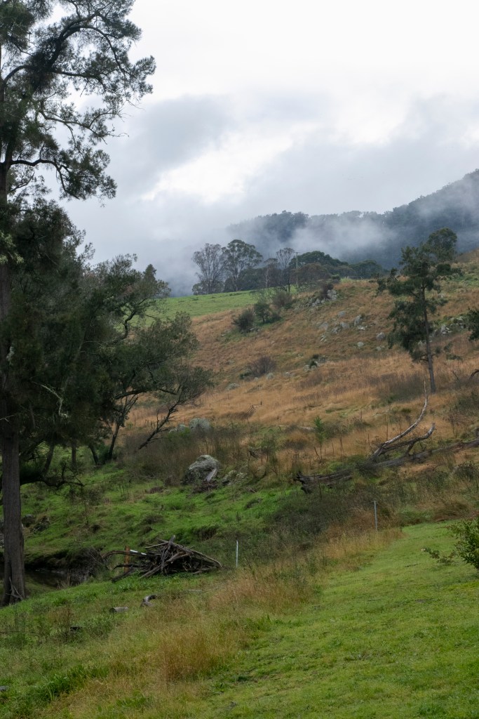
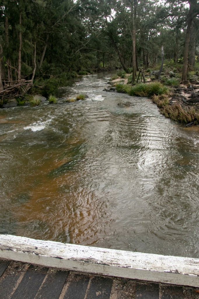
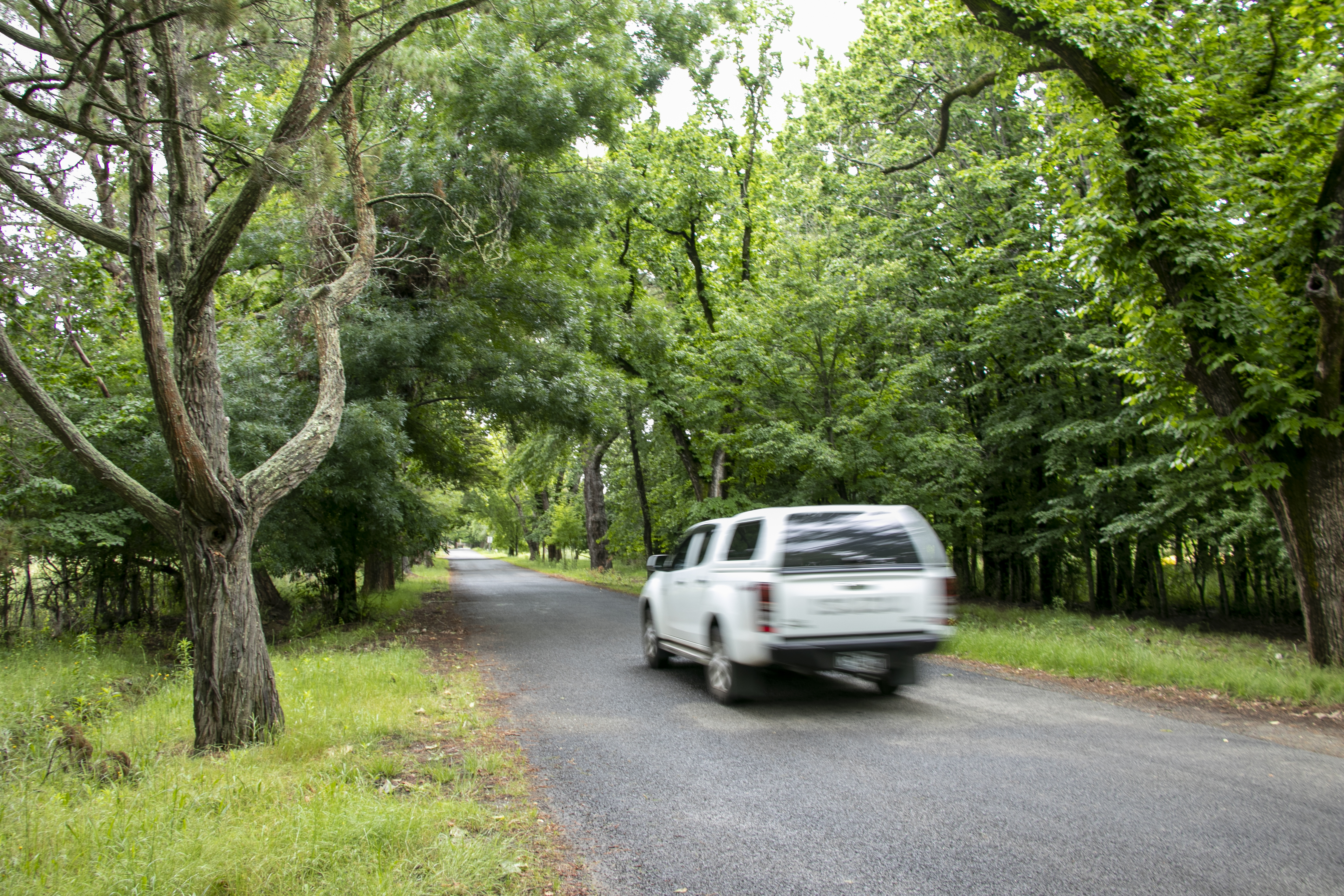
In this little series, we’re on a farm-stay in the Southern Highlands region of Joadja. These photos were taken back in May, 2022. The property we stayed at is on the Wingecarribee River, which threads itself through the region. It is a good 30-45 minutes from the nearest town (Berrima), so it’s certainly a place to getaway from it all. The stay took place over 3 days, so I got to know the many moods of the landscape. The weather does change how a place looks quite dramatically. I’m obviously using my photographers/landscape painter’s eye now…
On a sunny afternoon…
On a rainy morning…
There were lots of walks on farm roads to be had. I’ll post more rural scenes from Joadja in my next post.
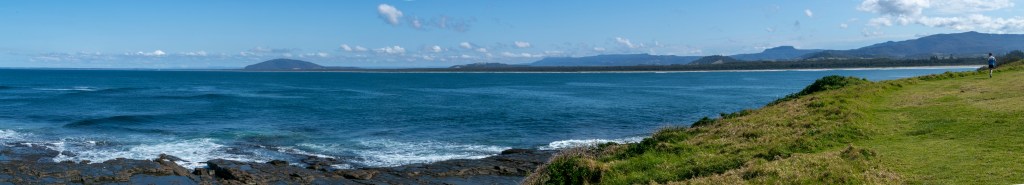
We’ll explore the neighbouring village of Gerroa. Historically, Gerroa has been the much smaller sibling to Gerringong, but in the last 10 years, estate developments in between the two towns mean that they’re really now joined at the hip.
Gerroa is located on the north end of Seven Mile Beach – which stretches all the way down to Shoalhaven Heads. It’s another stretch of coast that I’m very familiar with.
It is a collection of beach-side caravan parks and houses that are perched up on Black Head. Black Head itself consists of dark basalt produced by a volcano that was active in the area about 30 million years ago.
Gerroa is perfect if you just like a paddle in the surf or a really long walk along the beach.
At the end of 2021, after nearly 2 years of Covid-19, we took a car holiday in NSW. Not wanting to travel too far from our home in Sydney, in case the state borders, or the city borders, locked down once again (as it had done multiple times in the preceding months), we set our sights rather close to home to Central NSW. It’s a region that we were familiar with, having visited different places at various times, however there was still plenty of pockets left to explore.
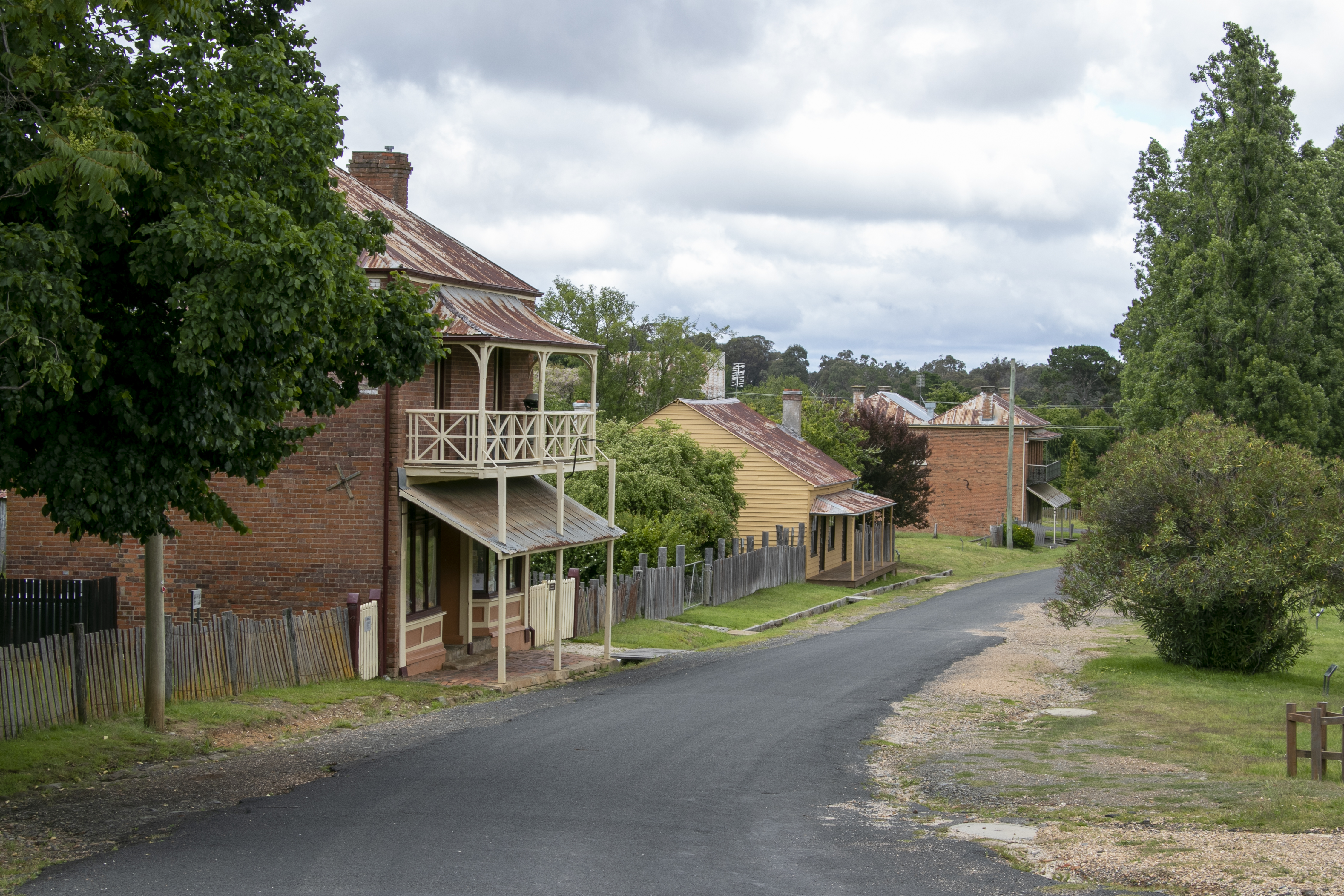
Our first stop was the historical village of Hill End. This is a former gold rush town, which hit the area during the 1850s and inflated its local population to 8,000. When the easy gold (originally alluvial, found in local water-ways) ran dry, the population declined. By 1945, the population was 700. In 2016, it was 80. I’m not really sure of the population post-Covid as at 2023. I would think there might be a few people who would want to move to such an historic and scenic spot.
This is the northern approach to the town. It’s not the most accessible town in the Central West, accessible by sealed but quiet and twisting, country roads from either Bathurst or Mudgee. But once you’re there you can visit a heritage town. A shout out to the brave people north of Hill End, who valiantly fought a bushfire a fortnight ago. The fire thankfully did not reach the village.
I’ll end our look at Lord Howe Island with some photos of aspects of life that is not in those beautiful vista photos. After all, the island does survive on tourism. So how do they keep all those people and where does the waste go?
I can only answer some of those questions. I think the island tries its best to keep everything it does in-house as the only two methods of transport are…
Cargo ship docked at Lord Howe Island – once a fortnight.
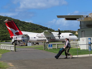
QantasLink flight, once or twice a day (or none) – dependent on weather conditions.
That’s pretty much it. So everything has to be shipped it and out on either way.
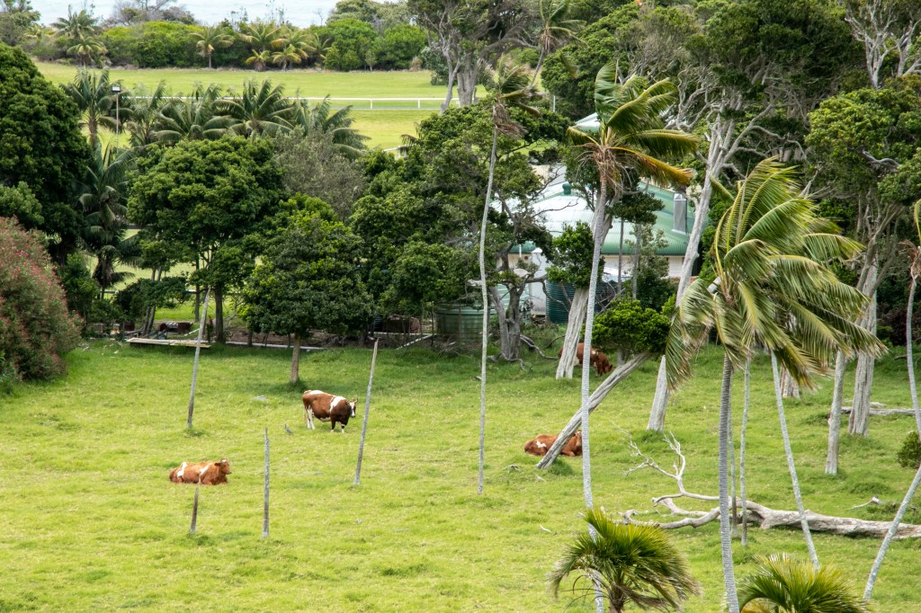
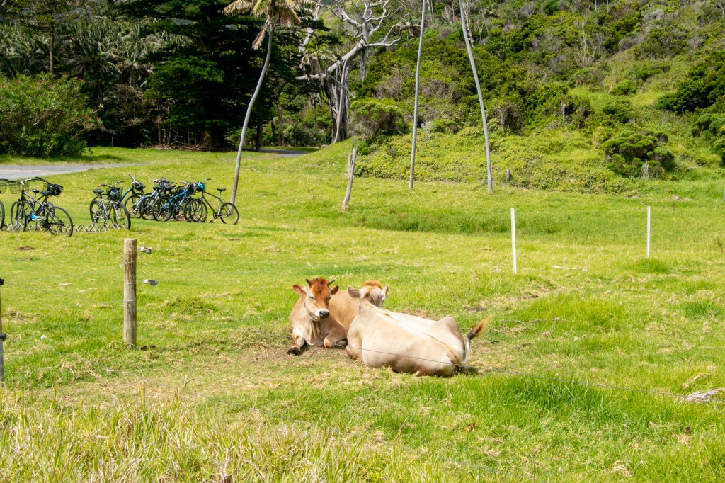
Once you get walking around the island, you might notice quite a bit of pastureland in the middle.
Pastures at the back of the settlement.
It’s generally used as grazing land for the island’s dairy cow herd. You’ll see them throughout the island.
So the island gets fresh milk each day. There are also vegetable gardens that grow well in the moist, volcanic soil.
Gardens at Pine Trees Lodge.
So there is fresh produce available, albeit the grow-your-own variety.
And the island has an extensive solar panel system, that I heard will be expanded. And of course, everyone is on rainwater tank (no shortage of rain here).
I heard that recycling is collected but has to be shipped off the island for processing, so our accommodation had compostable throwaways.
Anyway, it’s good to see the island doing all it can to be sustainable.
And that’s all she wrote for Lord Howe Island. I hope these posts have given you a good taster if you’re thinking of going, or jog your memory if you’ve already been. It’s definitely worth while making the effort to visit.
And given that this holiday was in 2020, I’ve got plenty more trips to catch up on!
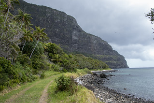
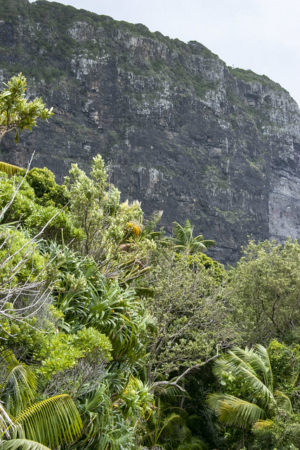
Despite the presence of settlers for almost 190 years, the island still retains much of its original vegetation. That vegetation is in the form of subtropical rainforest. With the impressive landforms of Mounts Lidgbird and Gower (the remnants of a 7 million year old volcano) that drop off right into the ocean, the landscape is very Jurassic Park– like.
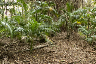
Little Island Track.
You can see the presence of Kentia palms everywhere in the rainforest. These palms are commonly found as indoor plants everywhere around the world from back in the 19th Century.
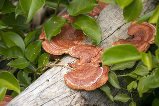
Aside from these palms, there is also a variety of strangler vines and multi-coloured fungi.
All of this is a short stroll from civilisation – and with the both easy and challenging tracks about, and the lack of stinging insects, it means that this rainforest is just about perfect (for me anyway)!