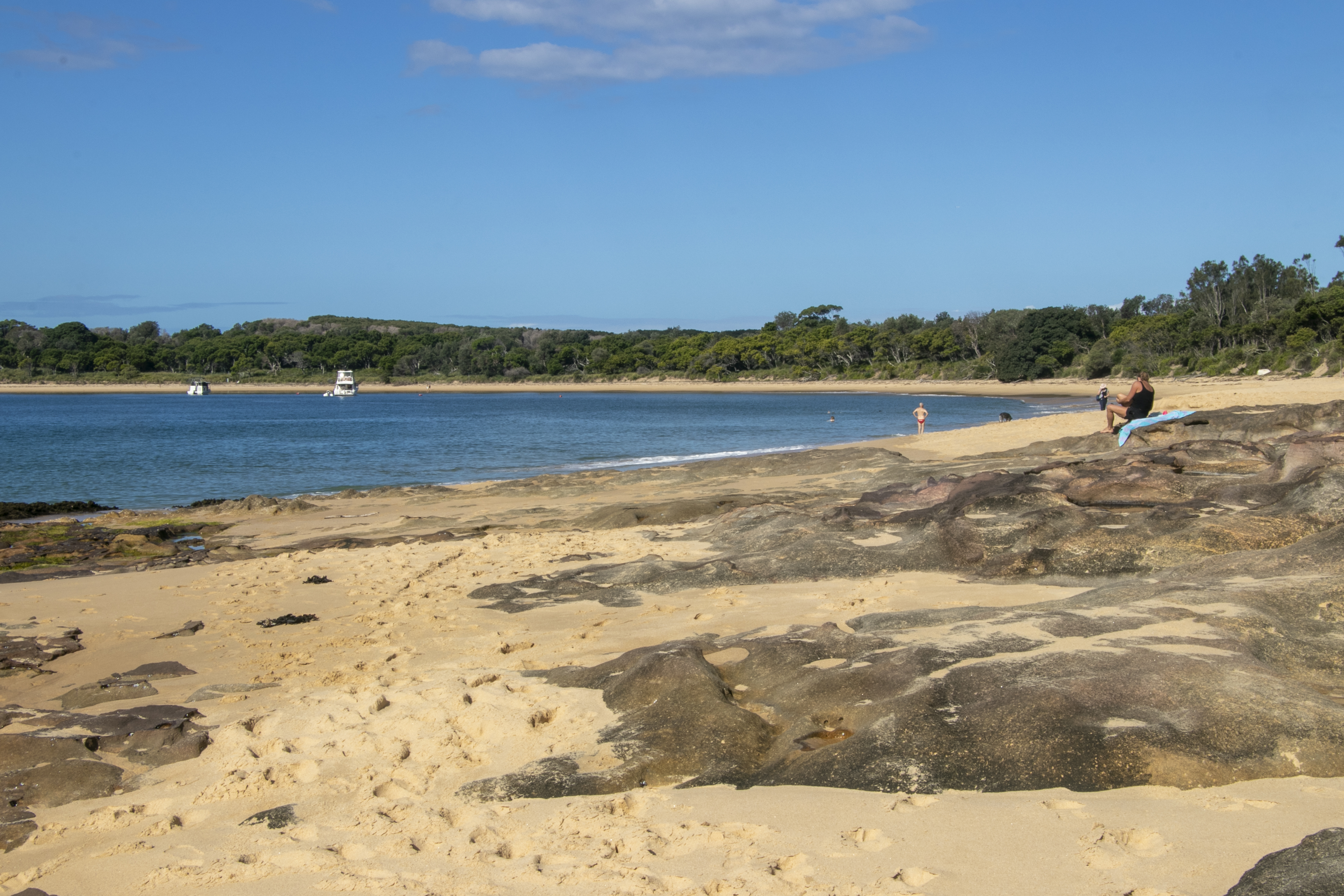
Many people choose to stay in Bundeena due to its proximity to the Royal National Park. It is Australia’s oldest national park and the 2nd oldest national park in the world after Yellowstone National Park in USA. It has many, many walks, but I was interested in the easier, shorter walks that are accessible from Bundeena. So I tried the Jibbon Head Loop track.
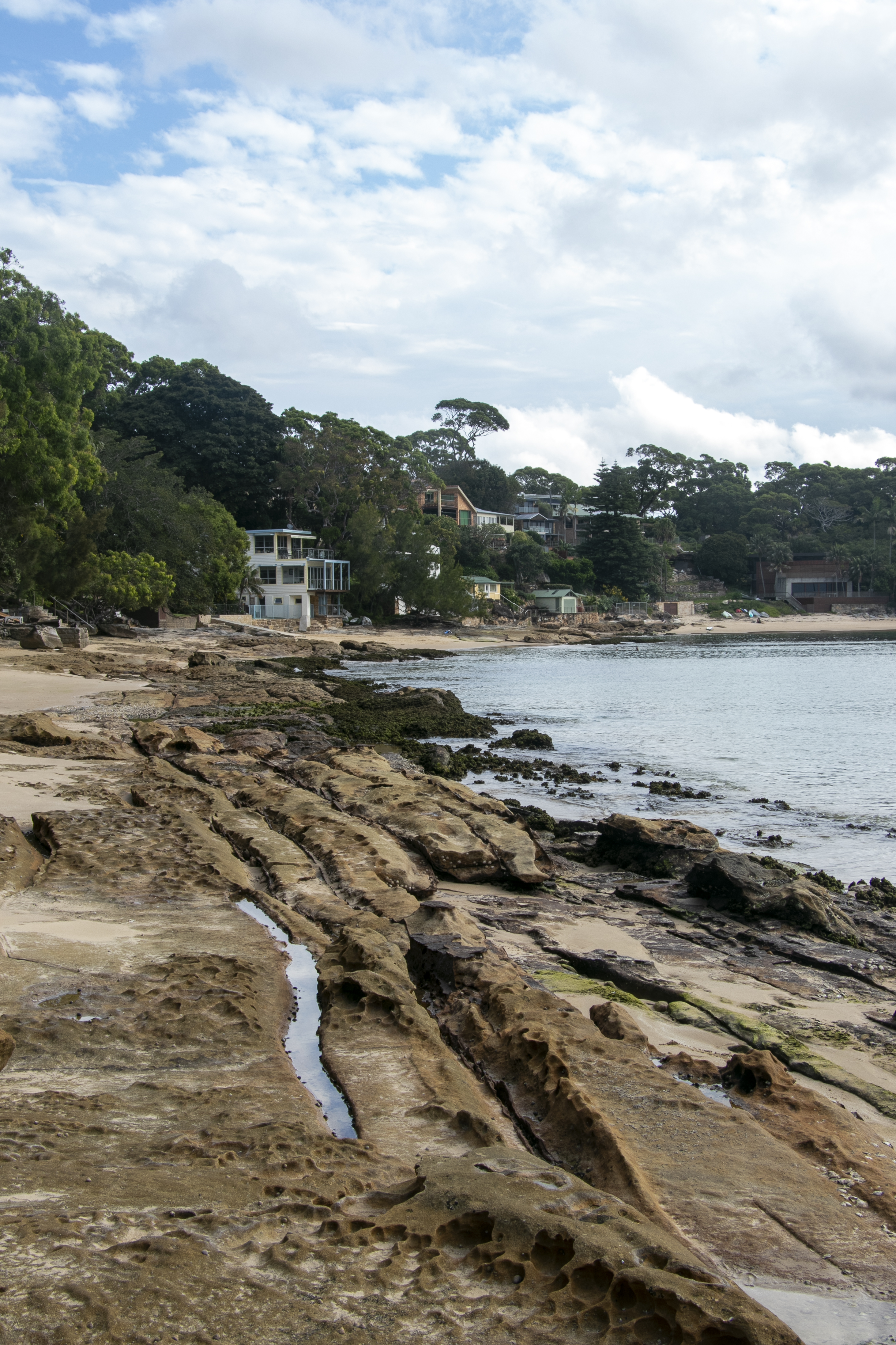
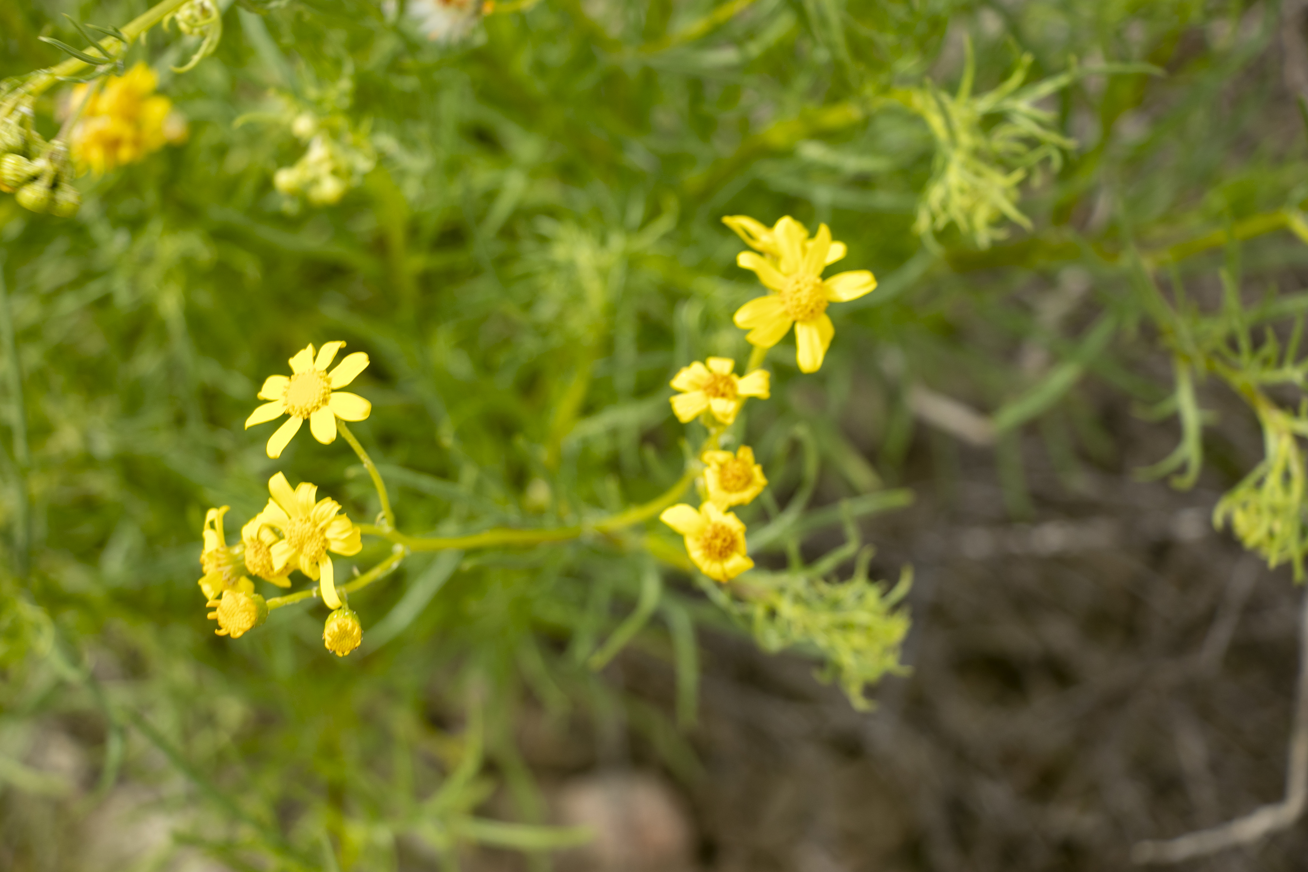
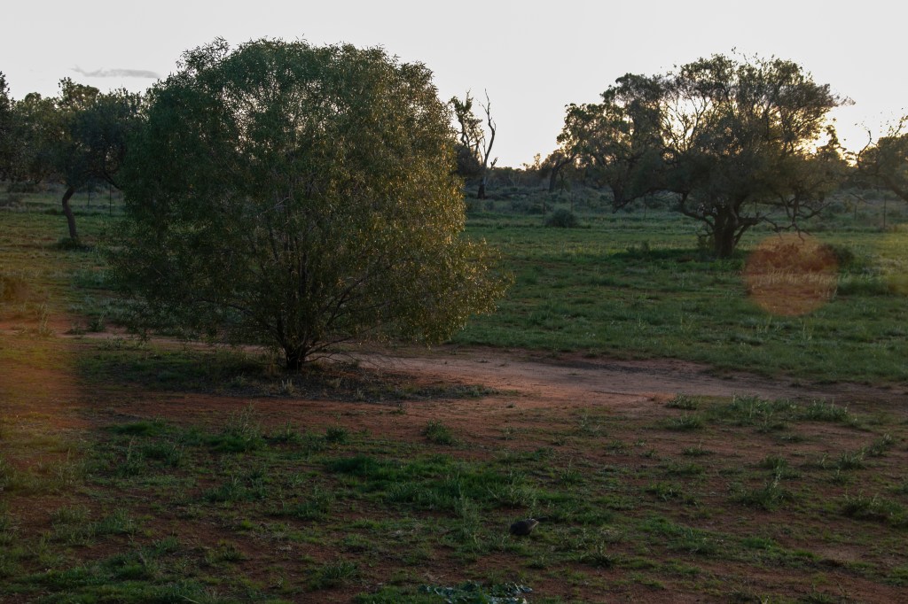
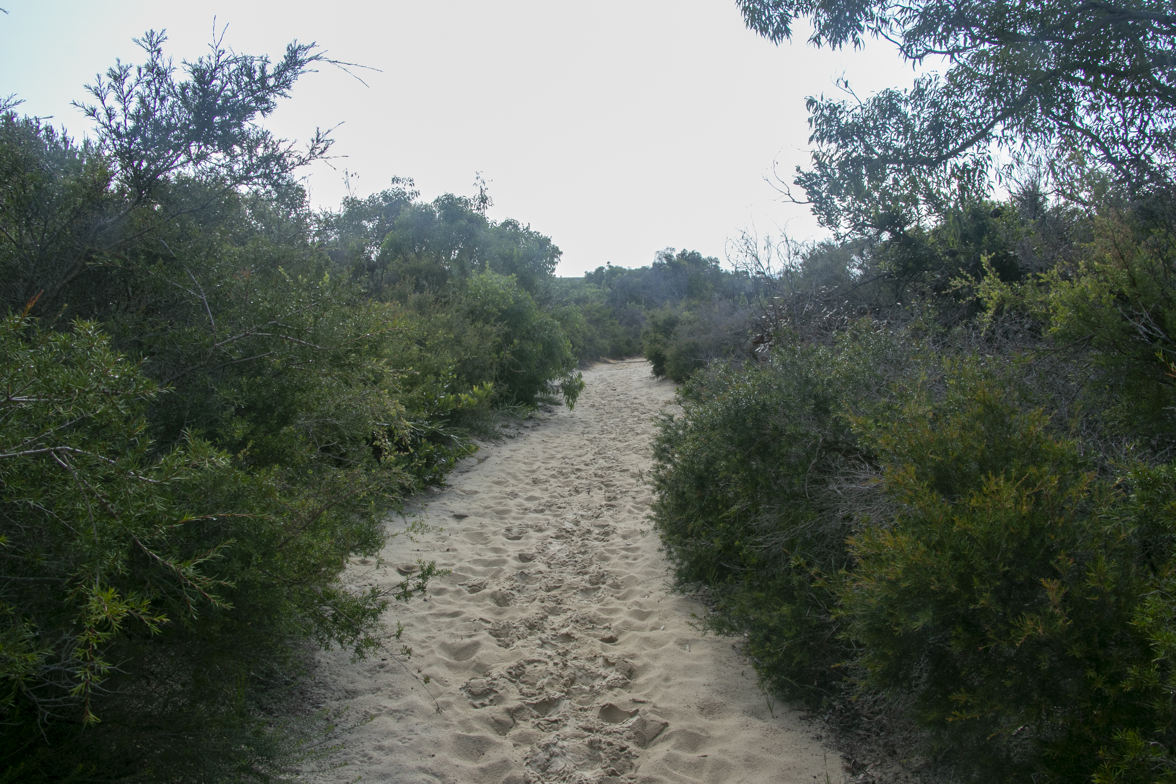
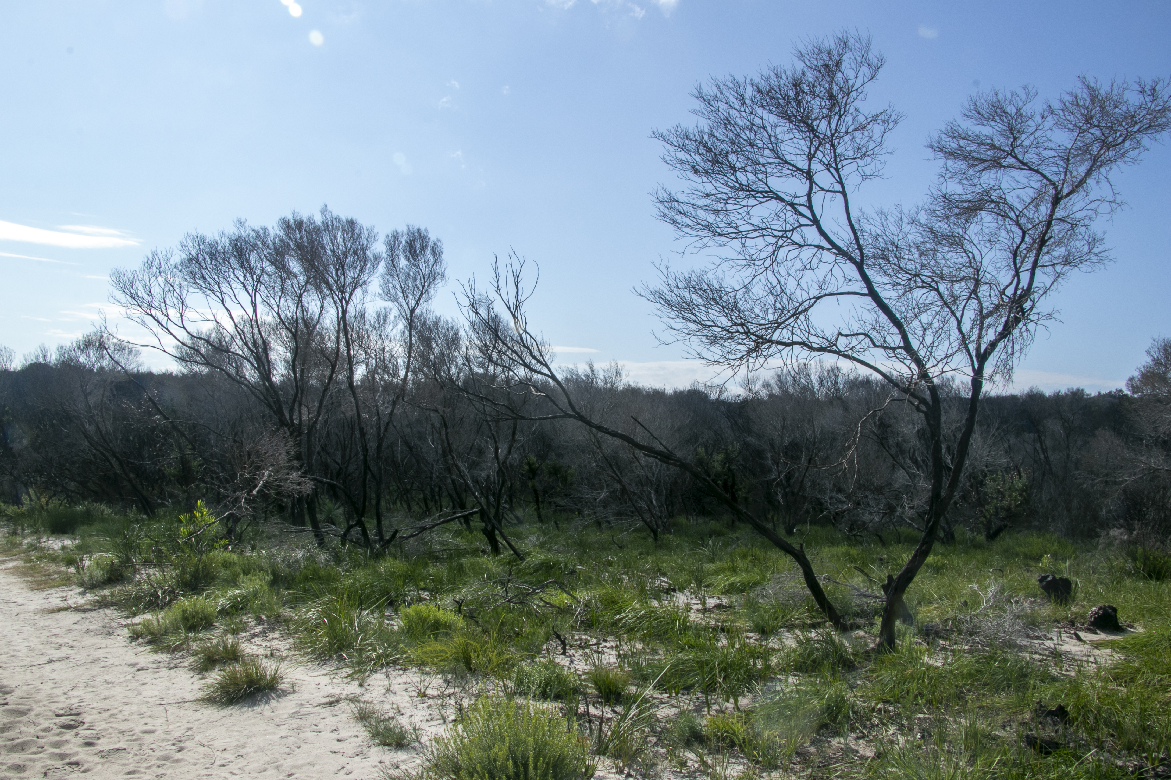
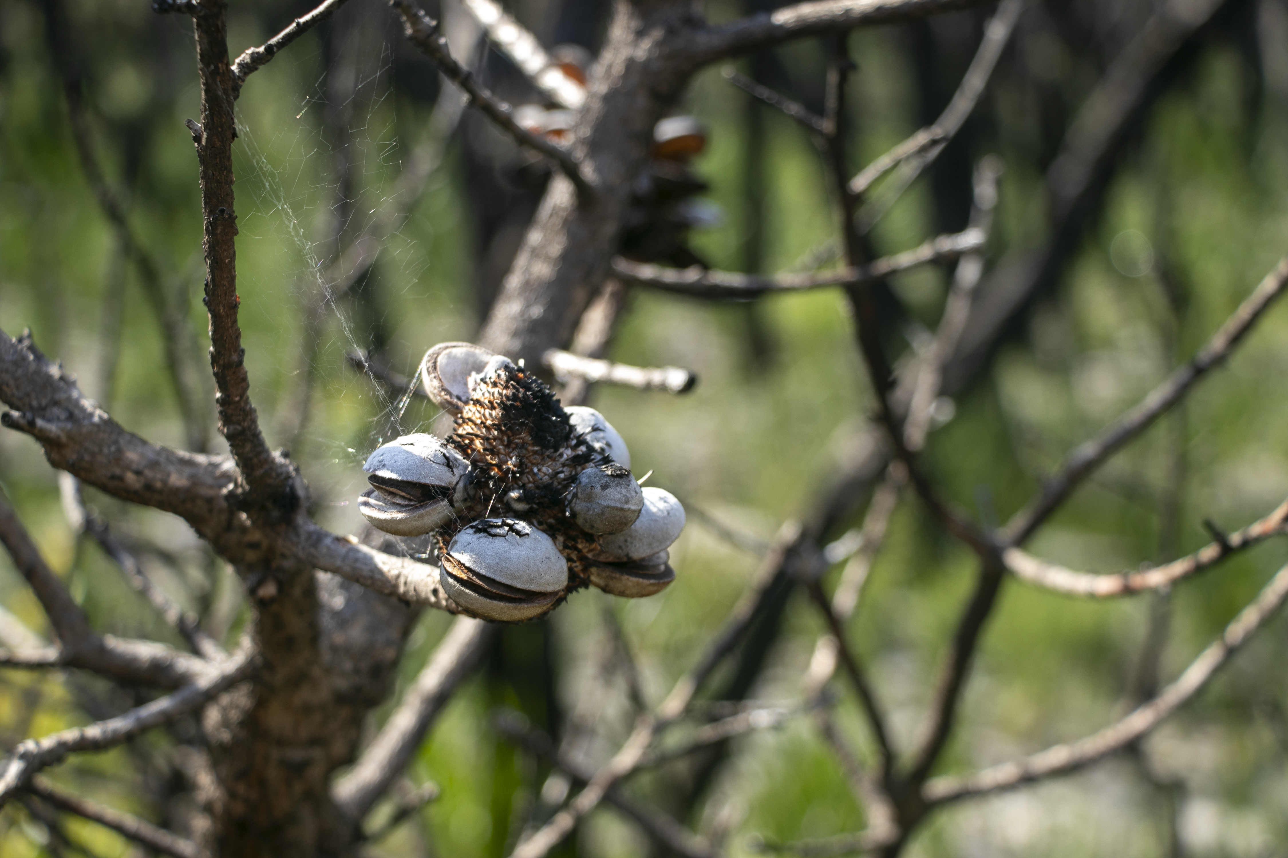
After walking out of the southern reaches of the village, the walk started on a track across the sandy heath. Here, only hardy sand-loving plants such as banksias and tea-tree shrubs seem to grow. There were also signs of the many bushfires that have run through this part of the national park.
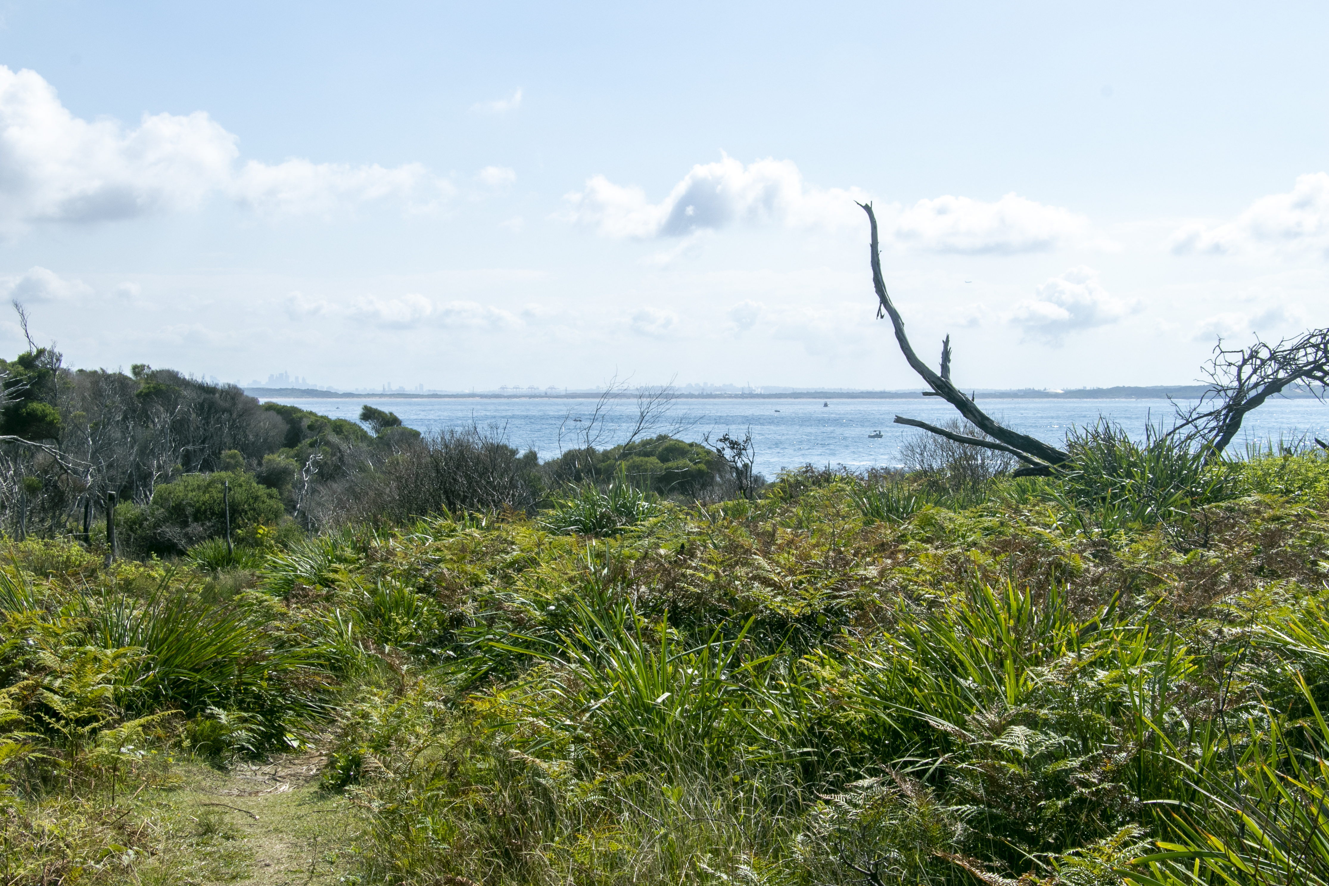
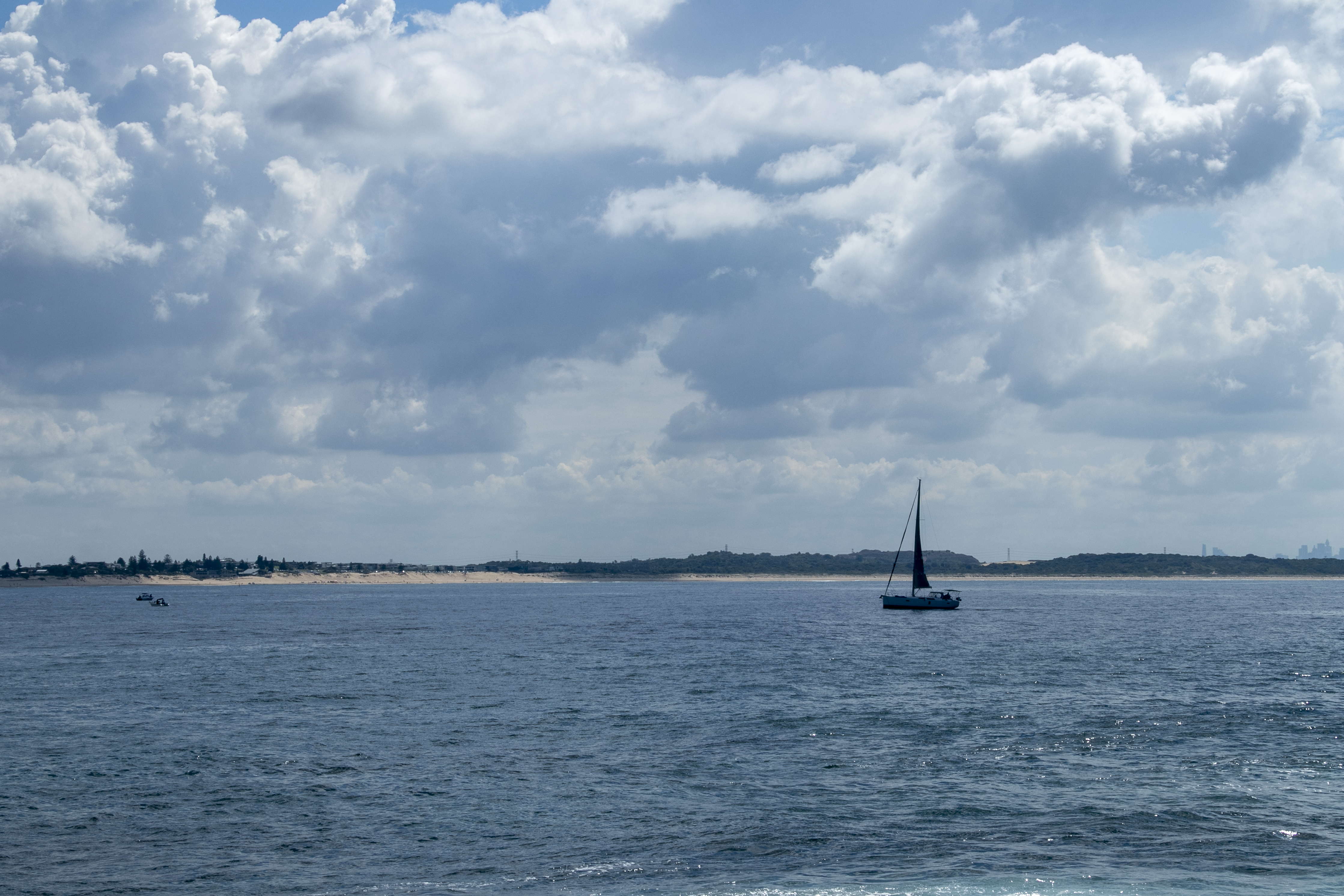
It wasn’t long before I sighted the water, with distant views of the Sydney city skyline.