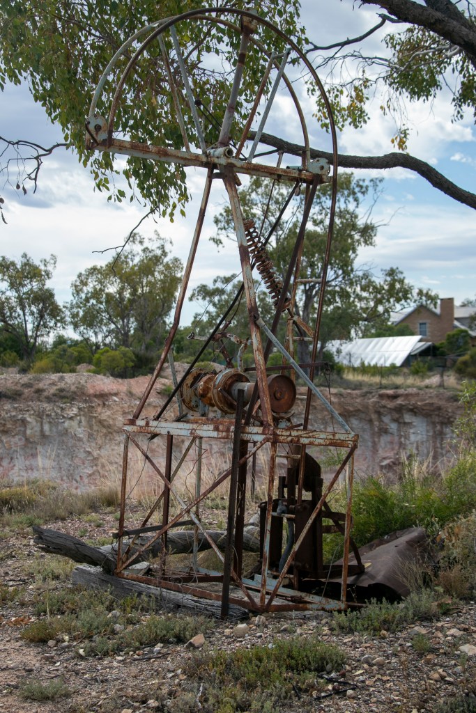
The goal of our August 2023 trip was to visit Lake Mungo National Park. This national park is 120km from Mildura or 160km from Balranald via mostly unsealed roads of varying conditions. It definitely pays to drive very slowly and pick your way through. There wasn’t much if any traffic so we could take our time. Heading in from Mildura wasn’t too bad.
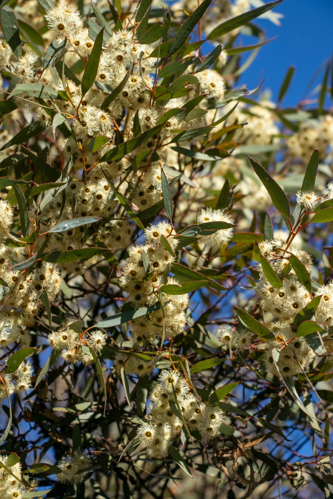
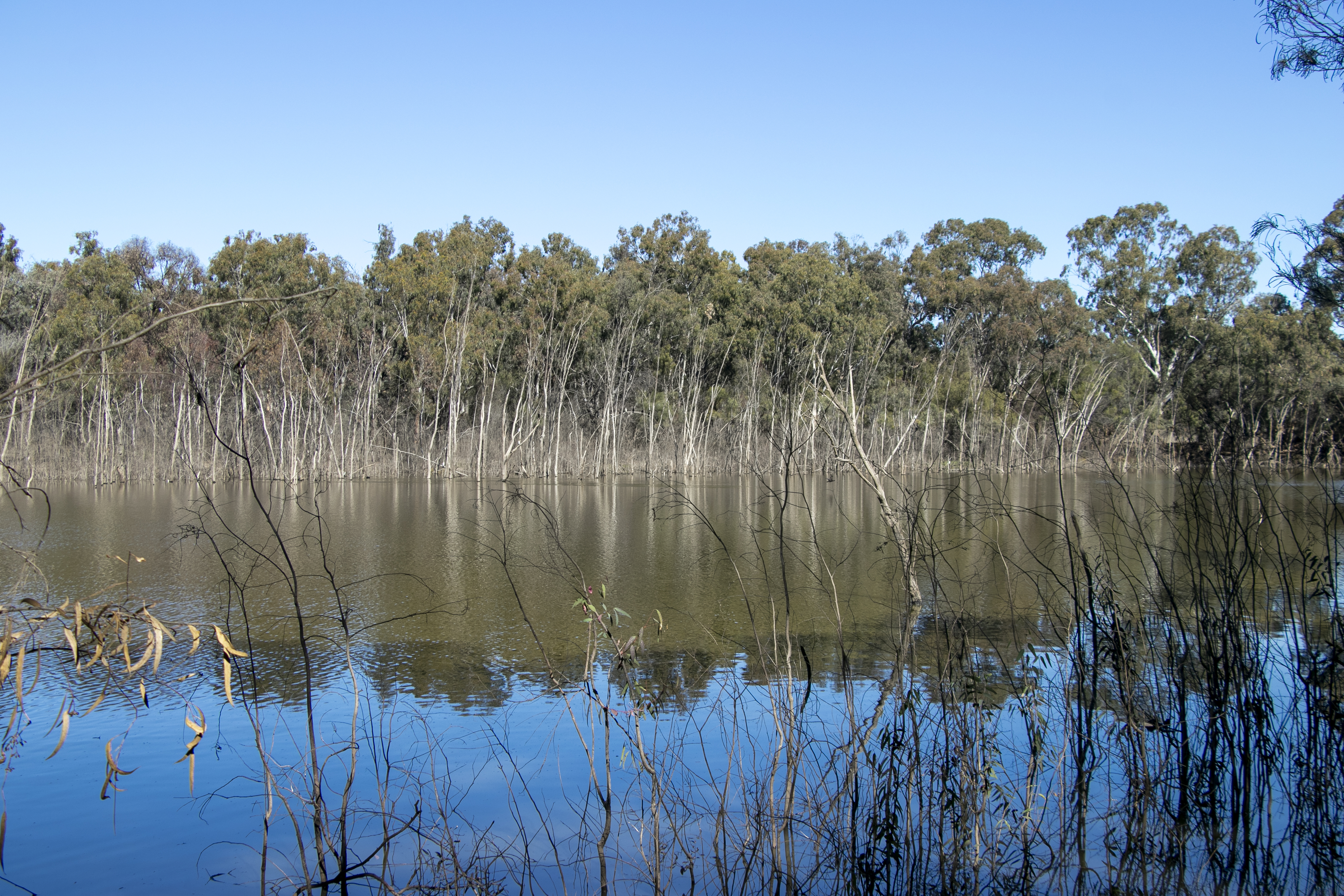
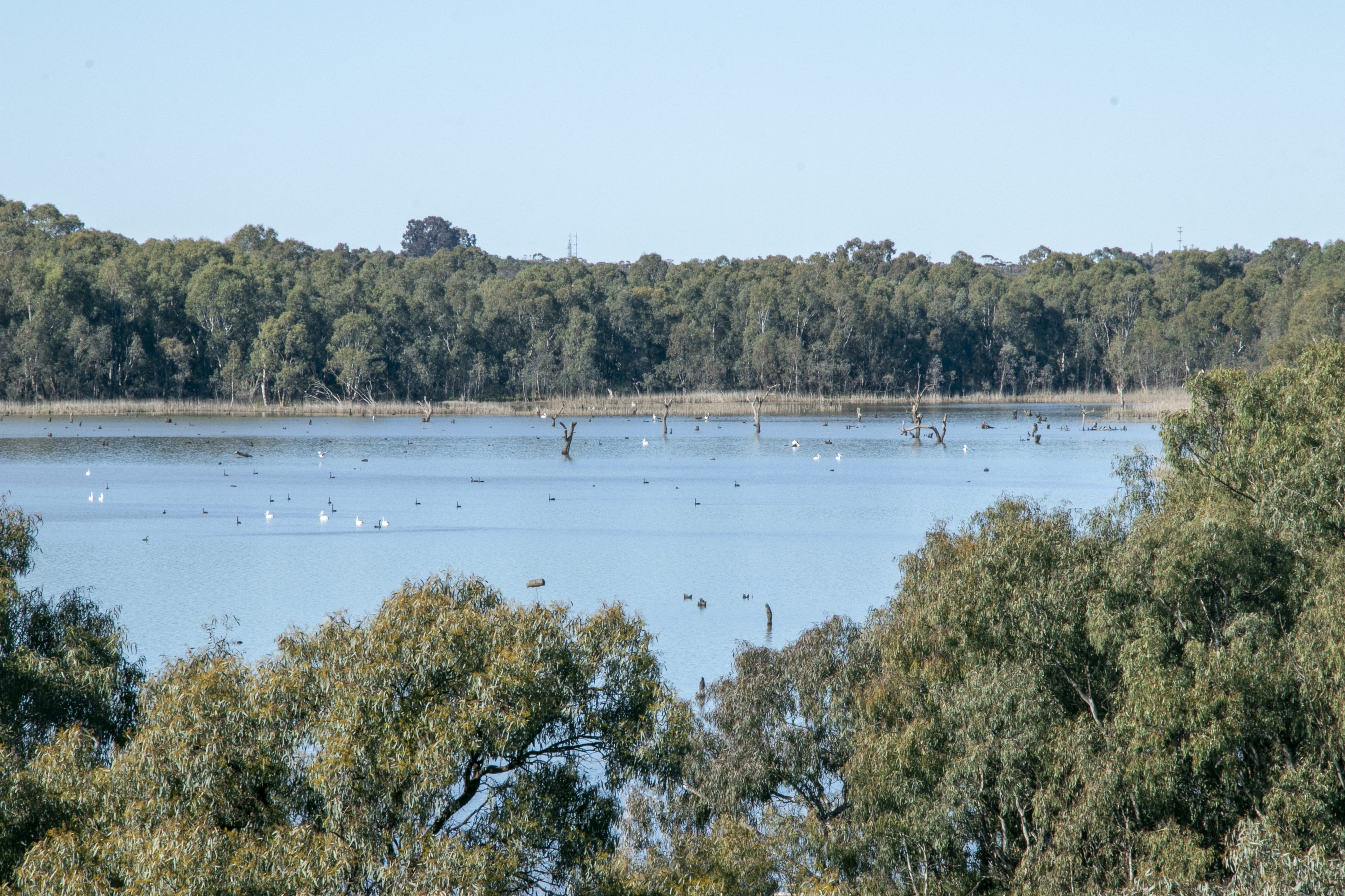
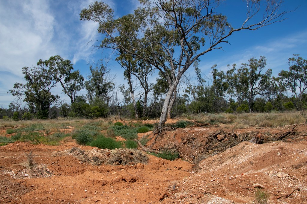
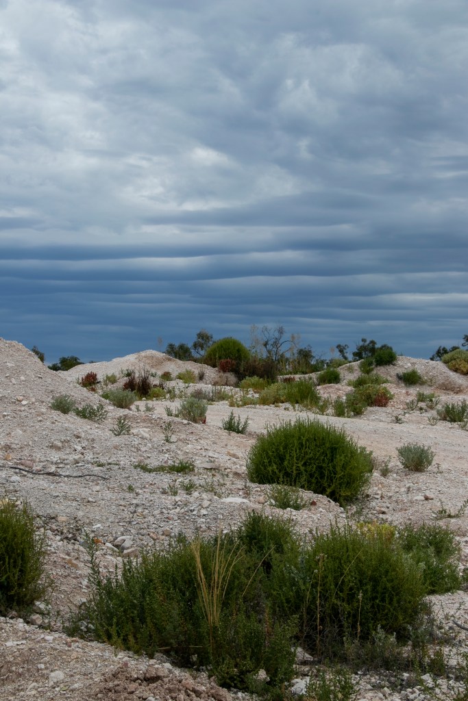
We stayed at Lake Mungo Lodge and had this view from our cabin. We were really in arid territory except it was quite green because the area must have been blessed with rain in recent times. The green makes a great contrast to the red ochre sands.

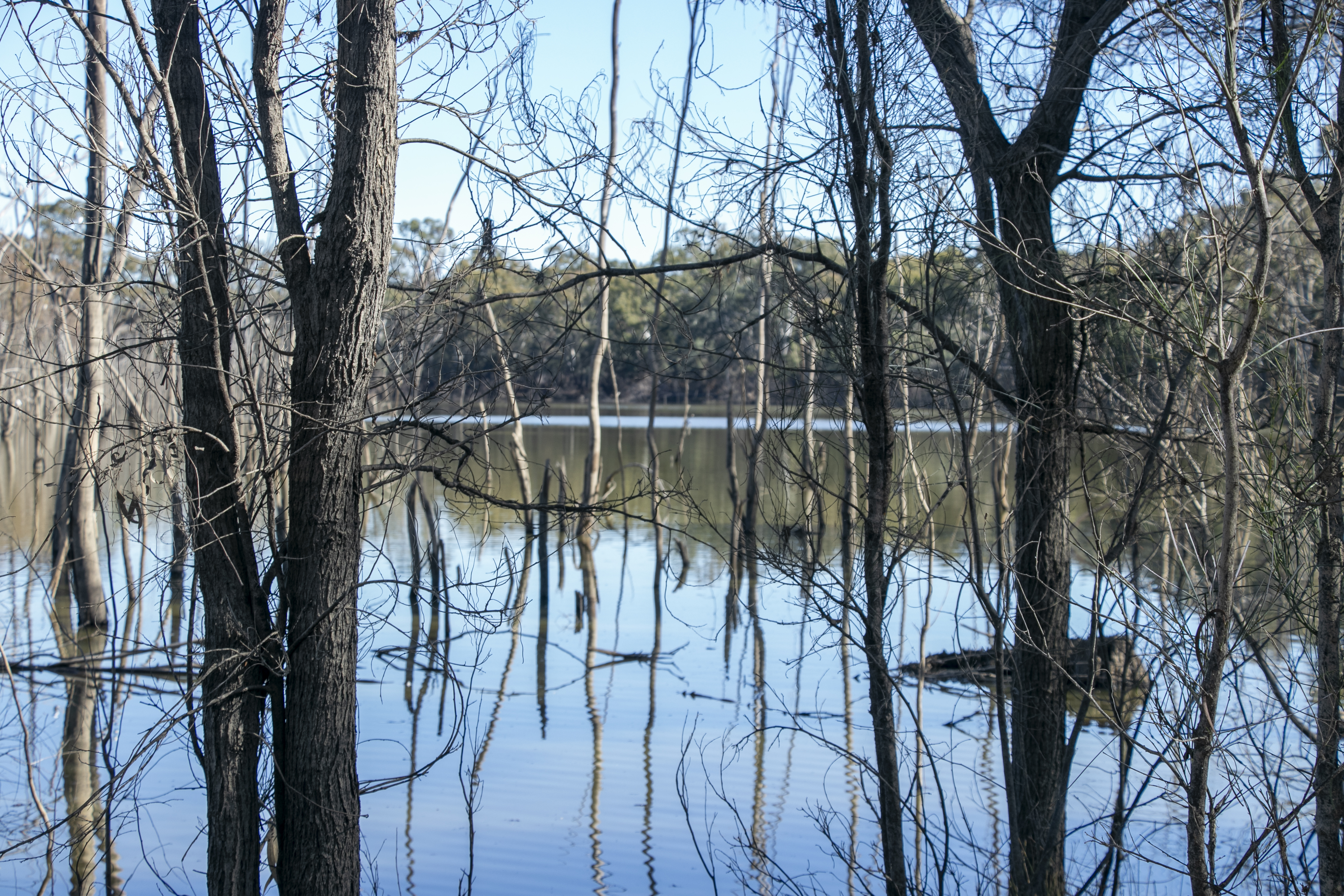
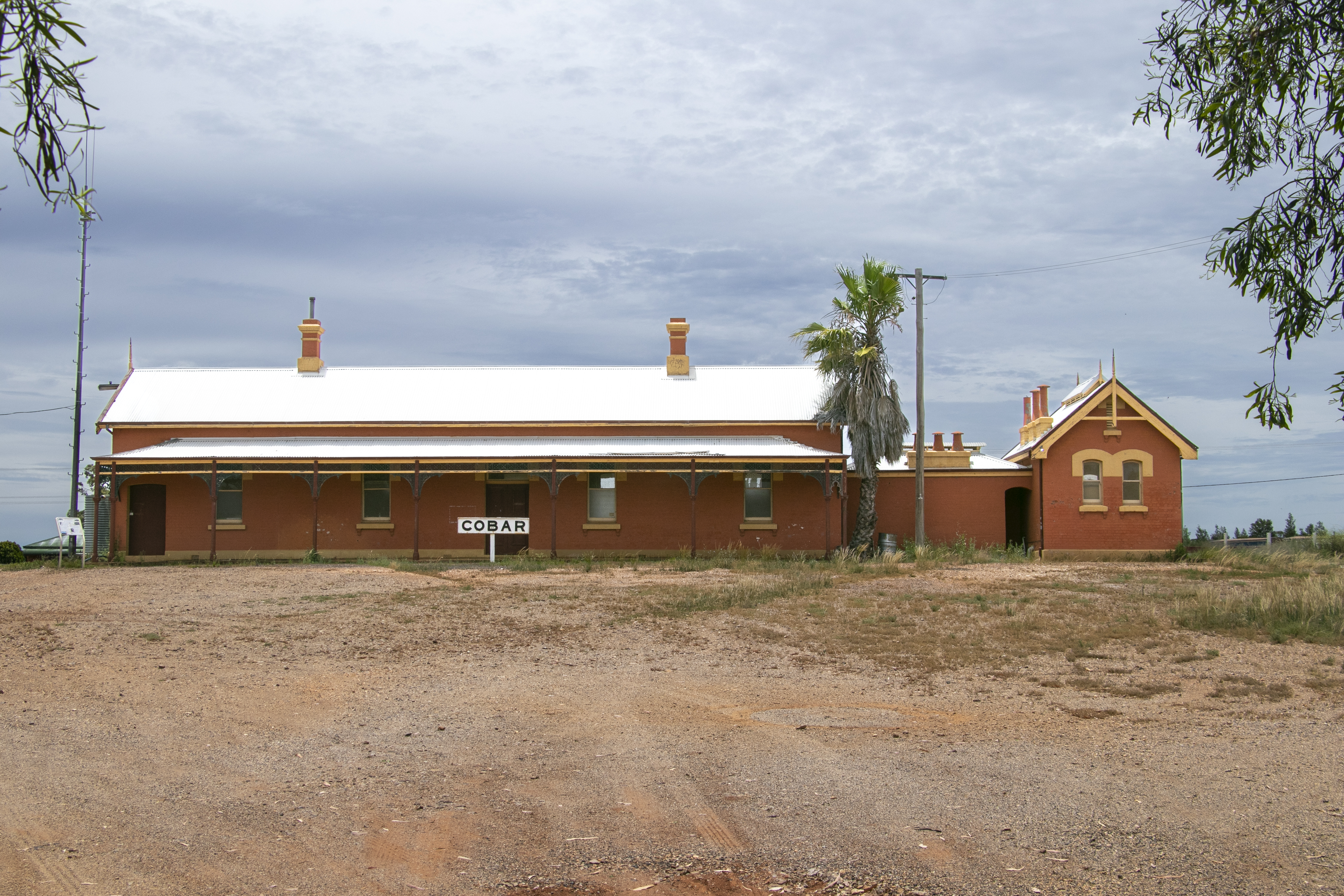
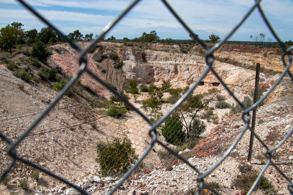
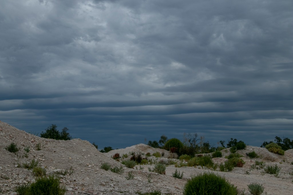
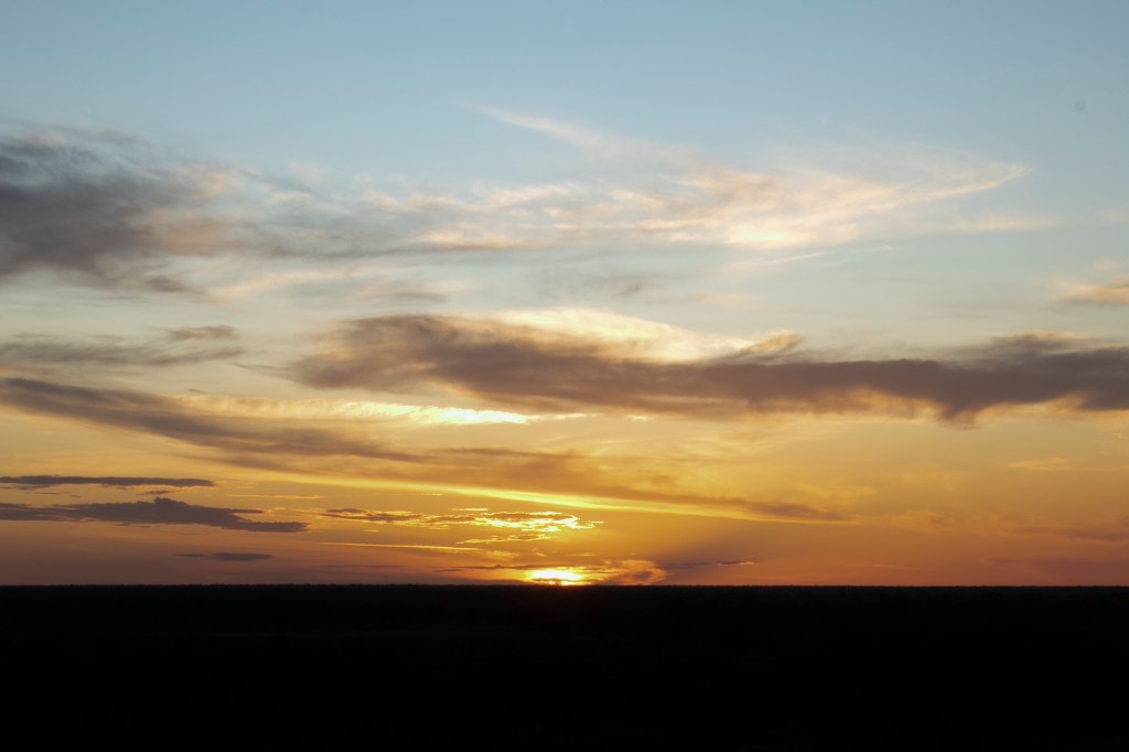
Having had time to contemplate the landscape, I realised what a big sky I was under. When a storm rolls in, you really do notice.