Tag Archives: history

Mungo National Park – Part 4

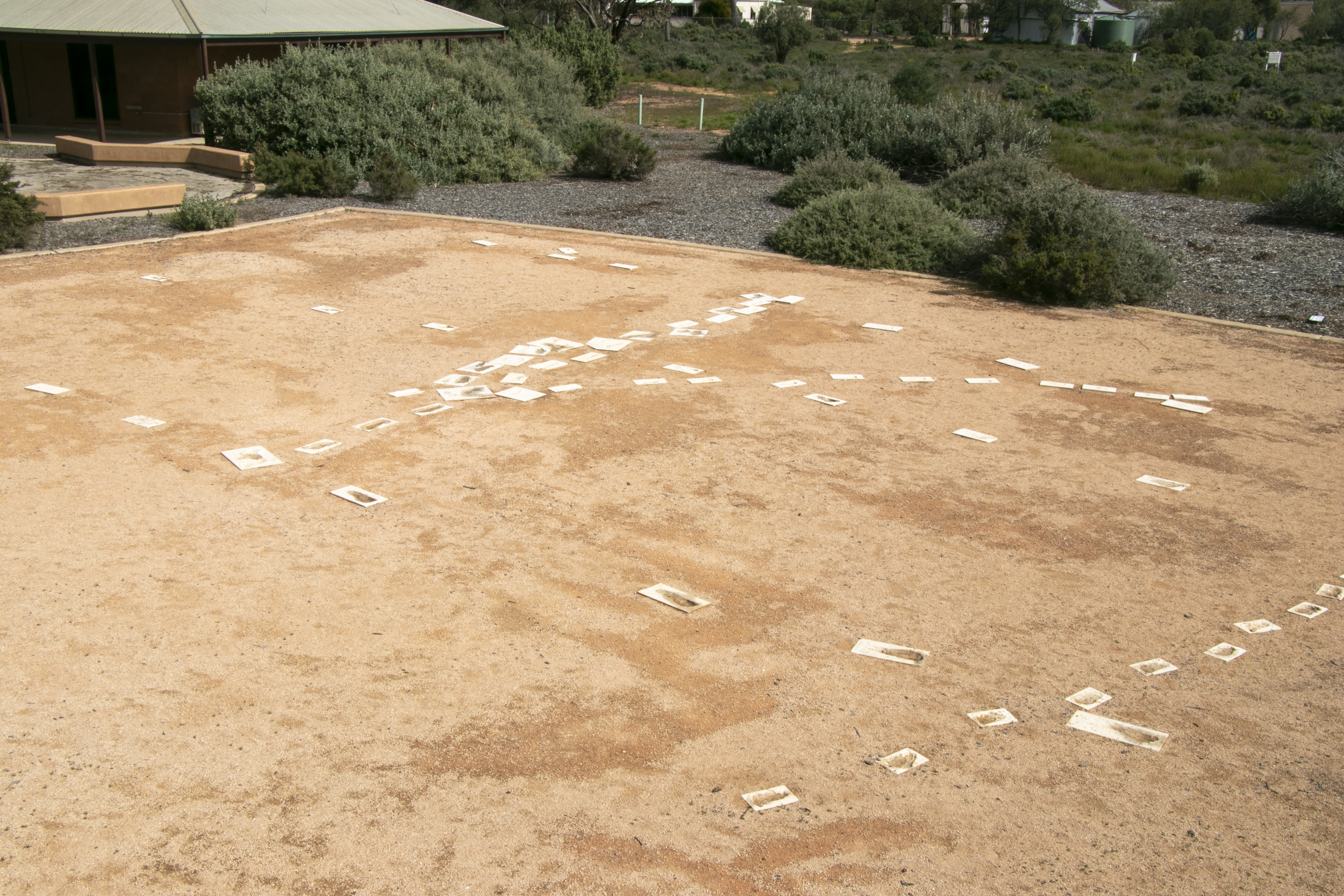
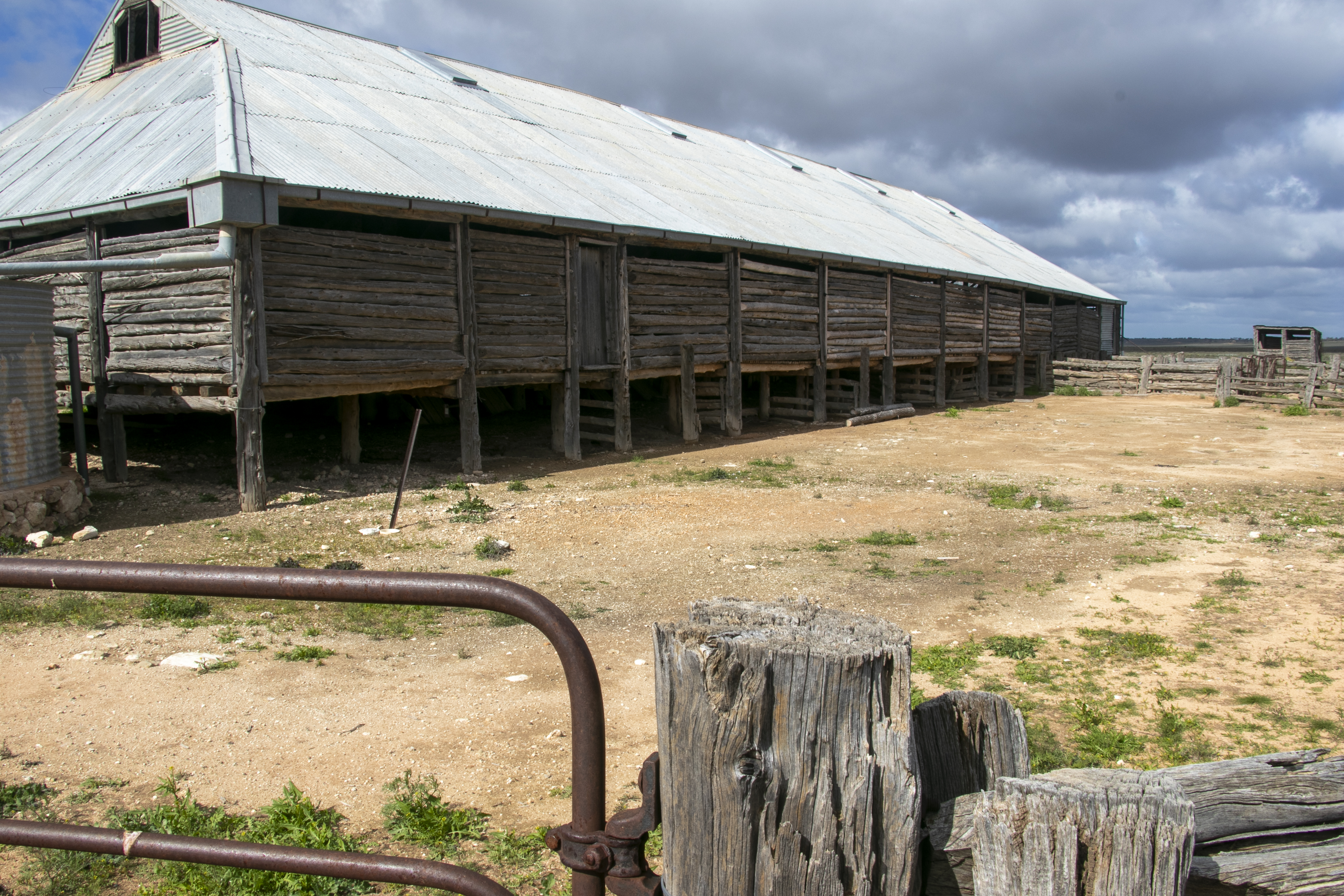
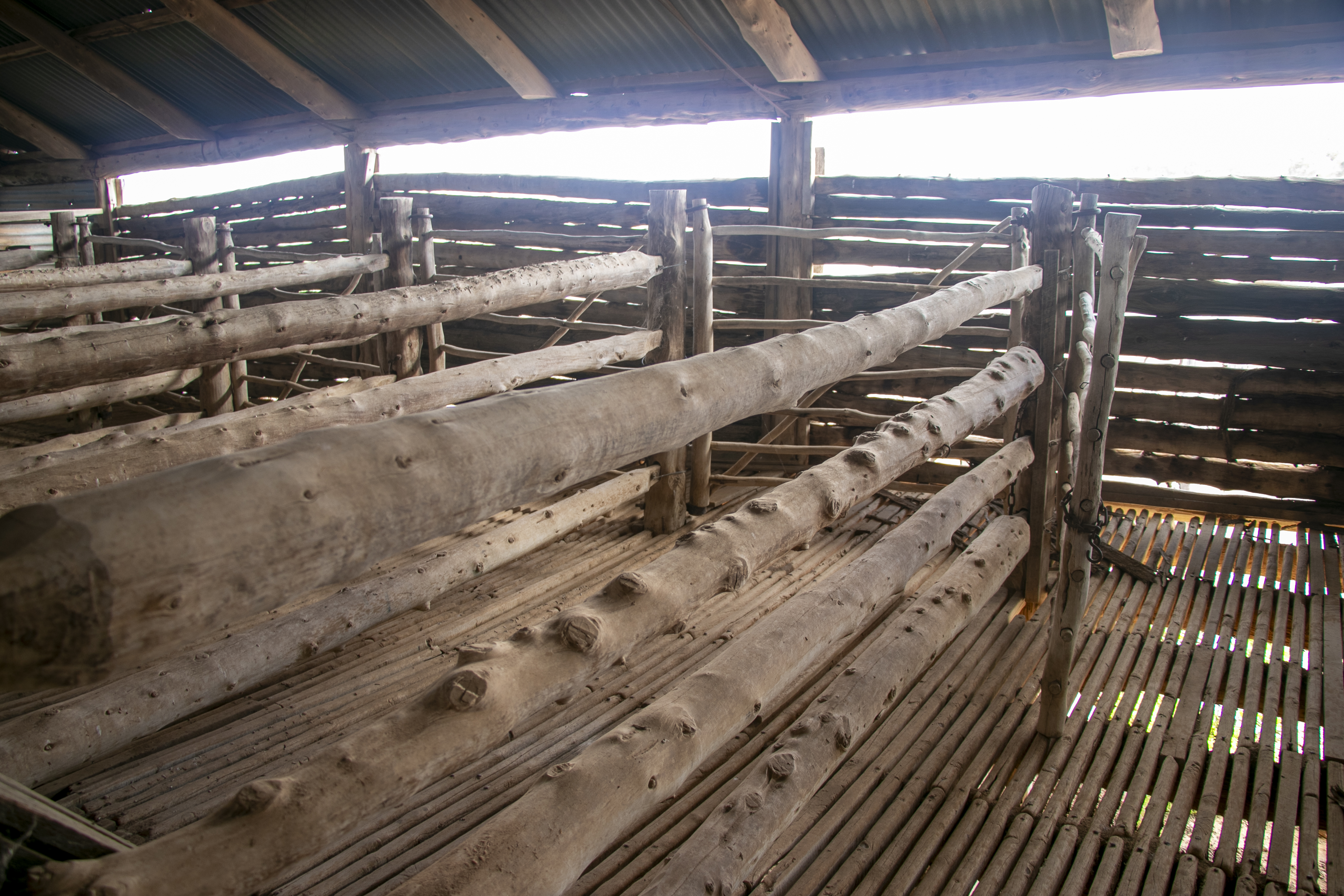
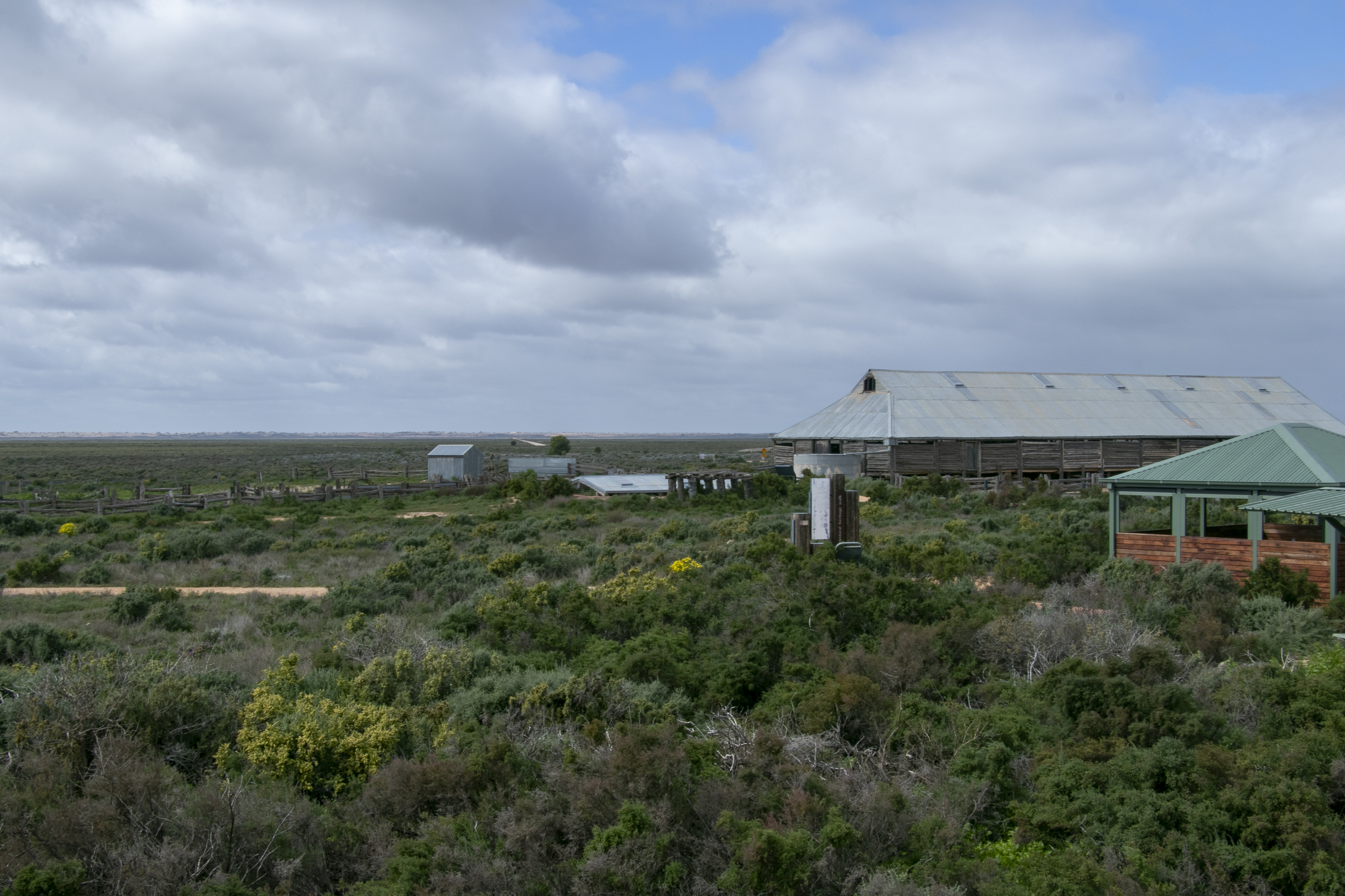
Next to the visitor’s centre at Lake Mungo National Park is the old wool shed. It was built in 1869 from local wood and was part of Gol Gol sheep station. The station had indigenous as well as Chinese labourers, many who came to Australia during the gold rush that had taken place across NSW and Victoria. By 1869, the gold fever had abated, so these former miners sought other work, frequently on pastoral properties across the country.

When these Chinese workers looked across the dry lake bed at the sand dunes on the other side, many were reminded of their homeland, and the wall that ran across it. Hence, the dune formations were called the ‘Wall of China’.

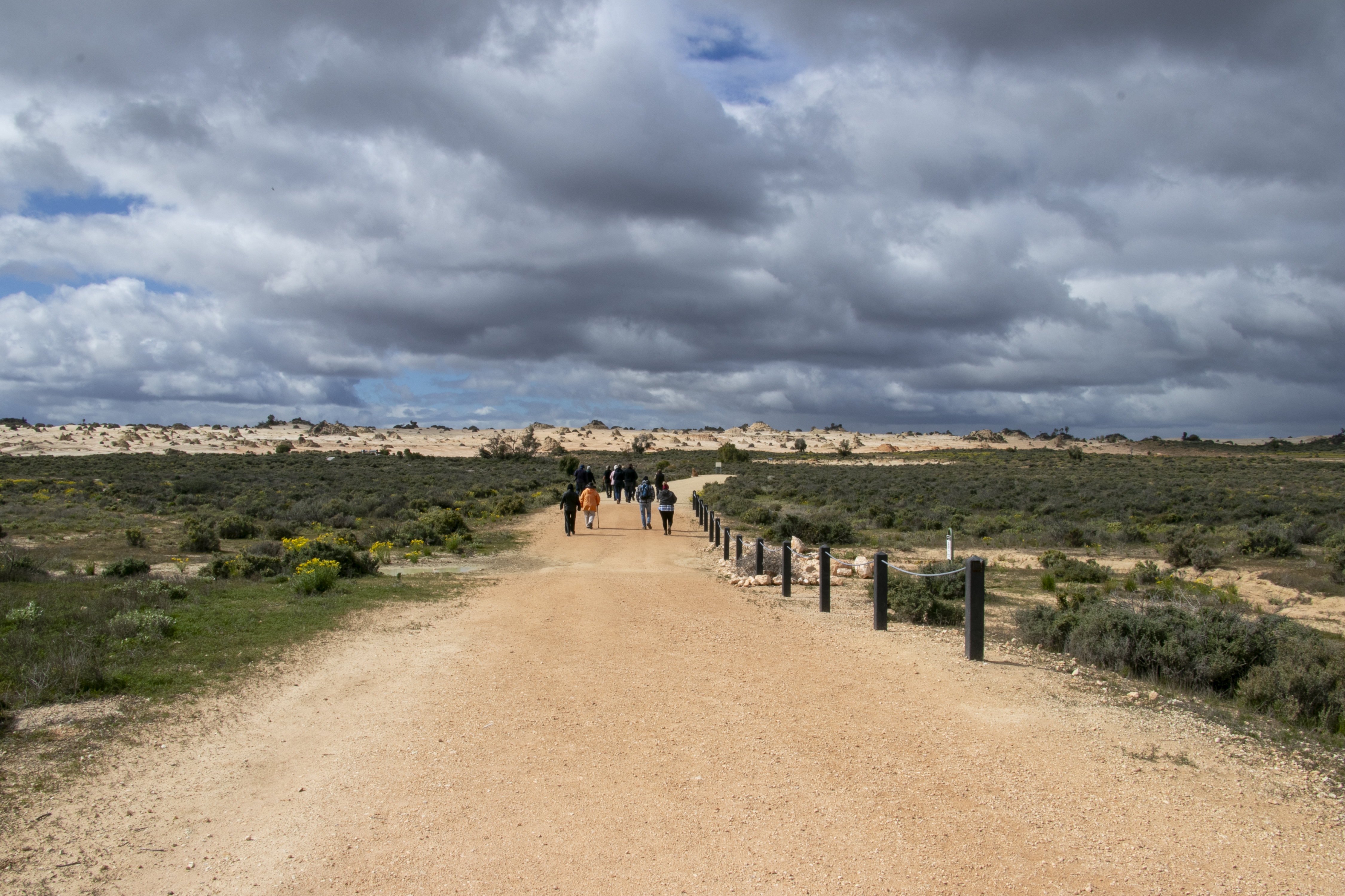
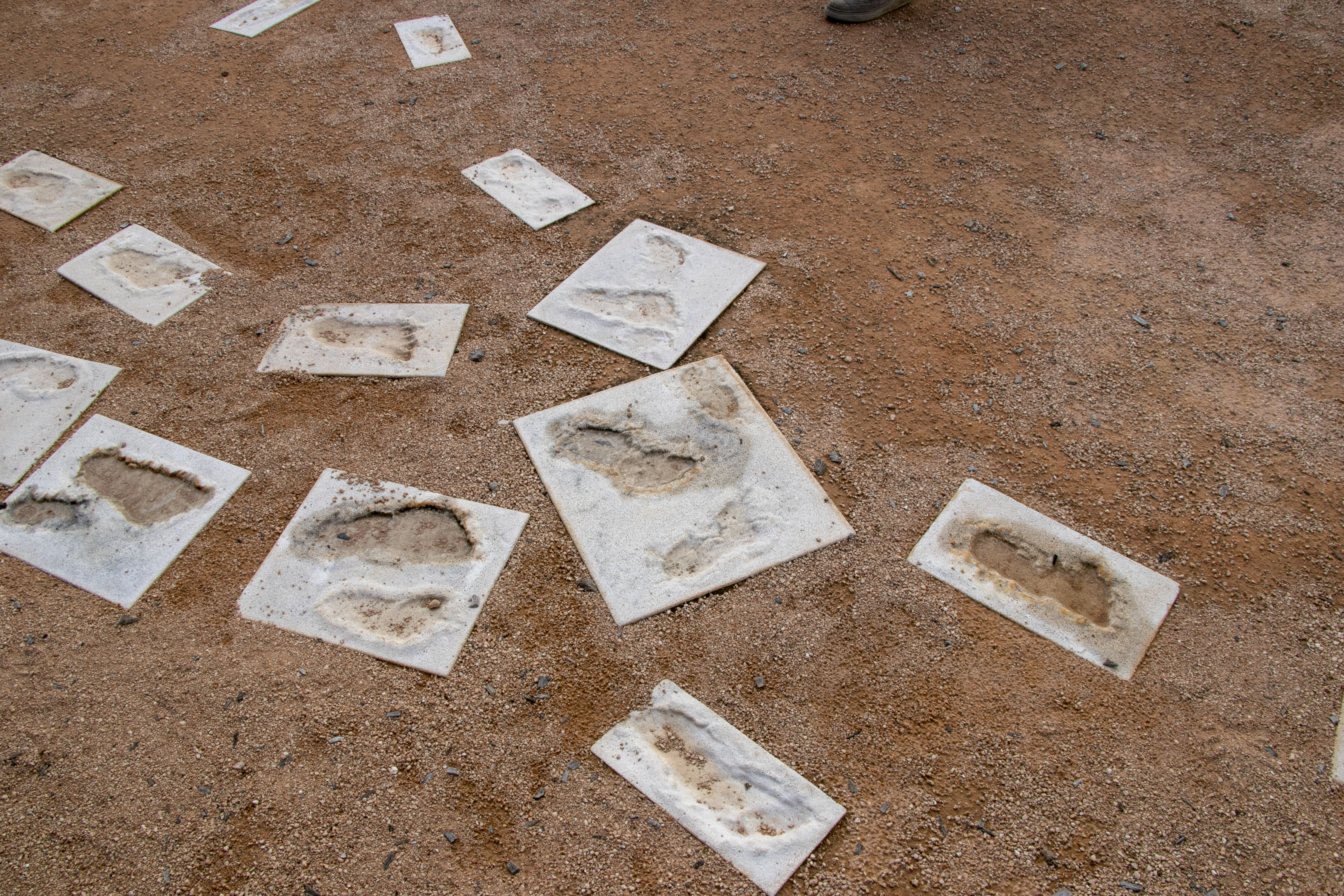
Next, we’ll take a walk amongst those dunes.

Mungo National Park – Part 3

The highlight of our stay was our tour of Mungo National Park, a short drive away from Mungo Lodge. The Mungo National Park lands sits on the junction of three nations – the Ngiyampaa, the Paakantji, and the Mutthi Mutthi.

It is the home of Mungo Man and Mungo Lady, human remains found in the area from the 1960’s and dated to be 42,000 years old. Footprints on the old muddy lakebed were also found, and dated to a similar period. Replicas of these footprints can be found outside of the visitor’s centre.

Back then, the area was a series of lakes fed by the Lachlan River. The climate was colder and snowfalls were more extensive on the Alps leading to more water flowing downstream. After the last ice-age, the climate became drier and warmer, and with a change in the course of the Lachlan River, the lakes were no longer fed. With erosion, the lake bed is now a flat sandy surface.

The area has a fascinating ancient history that really belies its seemingly unremarkable appearance.

More on the tour in the following post.

Outback NSW – Cobar

Cobar was our final stop on our December 2022 drive. It is 130km west of Nyngan (in the previous post), 300km west of Dubbo, and 700km north-west of Sydney. That means, it’s very far away from anything that resembles the ‘big smoke’. This is still in the area of the Wangaaypuwan people, whose lands start at Nyngan and stretches west until Ivanhoe.

Cobar was founded on mining, and the industry still rules the roost. You can see evidence of mining all over the place, from the town’s introduction, to the lookout at Fort Bourke Hill over the Peak Gold Mine. It’s nowhere near the size of Kalgoorlie’s Super Pit but it’s big enough for me.

Cobar has much in common with its big sister, Broken Hill, 450km west, in terms of having mining at its core. However, Cobar has always been on the smaller side, its population currently being at around 3,400. Broken Hill meanwhile is much larger at over 17,000, and in the 1950s and 1960s it was over 30,000!

Being a smaller town, Cobar’s architecture is on a more modest scale. There was some nice wrought-iron work on its shops and pubs, and standalone buildings (like the train station that doesn’t receive anymore trains, and the petrol station) that wouldn’t look out of place in an American Western.

Next time, I’ll be venturing to more regional NSW towns, this time heading south-west of Sydney.

Outback NSW – Gilgandra

Let’s start our study of Outback NSW towns with Gilgandra. By definition it is a Central West town (it’s less than 70km north of Dubbo, a genuine Central West NSW town), but since it is on the road to the Outback, we’ll classify it is an outback town for this post.

Being so close to the metropolis of Dubbo (whose population is nearing 45,000) means that Gilgandra is virtually a suburb of Dubbo. It also means that any facilities it once had had been taken away, as it’s just as ‘convenient’ to go down the road an hour (which is the country equivalent of 10 minutes by city standards). It’s left many of its shop-fronts vacant – they’re relics of a by-gone era. On the plus-side, it’s close to facilities, with real estate prices that haven’t yet gone through the roof.

The town was certainly on the sleepy side when we dropped by, but was a pleasant change after the controlled chaos of Dubbo (those roundabouts are worse than Canberra’s – big call, I know, but have you ever shared a roundabout with a road-train?). 

I like the murals that were dotted around the town. They are now a feature of a lot of country towns, I noticed, and I wholly approve. The more art the better, I say! 

Milthorpe

We’re continuing on our tour of NSW country towns. The next town we’re exploring is Milthorpe. It’s located on the other side of Bathurst to Hill End, 240km west of Sydney and 40km south-west of Bathurst. Unlike Hill End, it’s a very accessible town, located mid-way between the large towns of Bathurst and Orange. The land around it is generally flat, which attracted agriculture and grazing. It, like Hill End, is in the country of the Wiradjuri, whose lands extended from Mudgee, all the way across to Hay.

Milthorpe grew prosperous from agriculture and even has a railway station on the Western NSW line, with daily stops by the Dubbo-bound train. It is a busy tourist town of 1,300 people, and gets many visitors on weekends and school holidays. People love the living historical buildings, lovingly maintained. It’s also lucky that it’s now within the Orange wine region.

It might be a touristy town, but unlike towns of similar ilk closer to Sydney, I don’t think it is yet too well-loved.

Hill End – Part 3

The most delightful buildings for me in this little town are its little historical cottages. They come in different shapes and sizes, and some look as if it’s been little changed since the Gold Rush.

Hill End Village
Hill End Village
Hill End Village
Hill End Village
Hill End Village

As you can probably tell, they’re pretty well maintained and some are even lived in. Although I suppose if you’re a resident you’d have to tolerate tourists like me taking snapshots of (potentially) your washing.

Hill End – Part 2

Given that Hill End was home to 8,000 people at its height, there are quite a few buildings of note. They are a good representation of 19th Century Australian country architecture. Many are no longer in use, and the two that are, are predictably, the pub…

Hill End Village

And the general store/cafe.

Hill End Village

They both seem to do a good trade catering to the needs of the locals and visitors.

Around the village was a full complement of traditional churches that seemed to still be in operation as well.

Hill End Village

But there were also a lot of buildings that seemed to have been commercial premises at some stage of their lives but are now either empty or used for residential purposes. I wonder what they were all used for?

Hobart

Well, it might have taken me awhile, but we’ve finally come to the final chapter of our 2019 Tasmanian trip – a short visit to Hobart. On this visit, we stayed in the historic inner city suburb of Battery Point. It is on a hill and so affords a good view of the Derwent River.

Battery Point Walk

While wandering around the local park, hubby was happy to find out that it had had a famous scientific visitor in the past.

Battery Point Walk

Wandering around Battery Point and its neighbouring suburb, Sandy Bay, we were happy to see a lot of colonial era houses still in good condition. Probably not surprising since they’re two of the most expensive suburbs of Hobart.

That’s all from Tasmania. But I’ve done some travelling since then, so I’ll be back with more adventures soon!

Western Tasmania – Part 5

The last town we’ll visit on our tour of Western Tasmania is Strahan.

Strahan

This town is also the smallest and the most remote, surrounded by thick forest, and being 270km and 301km by road to Launceston and Hobart respectively.

Strahan
Strahan

But despite its current size, this town is also historically one of the most important in the region due to its location on the shore of Macquarie Harbour, a deep water harbour, and the closest access point to the surrounding towns. The railway originally terminated here.

Strachan

This harbour was a highway that carried ships that transported copper, gold and other resources, like timber from the surrounding forests, and in the 19th Century, convicts. Sarah Island is a small island in the harbour that was the home of the most secure penal colony in the land. I remember learning about this area in high school when we read the classic Australian novel, For the Term of His Natural Life by Marcus Clarke. The description of life on the island and a convict’s determination to escape it was especially vivid.

Western Tasmania – Part 4

We’re back to rainy Queenstown on the west coast of Tasmania, and today we’re riding on a steam train.

West Coast Wilderness Railway

The West Coast Wilderness Railway runs from Queenstown to the West Coast port of Strachan. It is a heritage railway that used to transport product from the Mount Lyell Copper Mine in Queenstown to the coast, where it can be shipped out to the big wide world.

The current railway consists of original locomotives and carriages from the same era.

West Coast Wilderness Railway

It snakes through the wild west coast rainforest…

West Coast Wilderness Railway

Up and down steep hills and across torrential rivers.

West Coast Wilderness Railway

As you might guess, the railway would have taken awhile to construct through this trick terrain. Sydney-siders, you shouldn’t be complaining about this current bout of wet weather. Try living in Queenstown for a few months, or years. Although I have to concede that the rain in Queenstown generally falls more gently, like British rain.