Tag Archives: Outback NSW

On My Way Home – The Plains

My goodness, 2025 has just flown by. So, it’s all good time to try and finish posting about the winter 2023 journey, documenting our way home to Sydney from Mungo, in the south-western corner of NSW.

First, we had to escape the ‘Plains’. It took us much of the morning to get to nearest town, of Balranald, through mostly unsealed roads. But, on the other hand, there’s something mesmerising in seeing such flatness, laid out until infinity.

Mungo National Park – Part 4

Next to the visitor’s centre at Lake Mungo National Park is the old wool shed. It was built in 1869 from local wood and was part of Gol Gol sheep station. The station had indigenous as well as Chinese labourers, many who came to Australia during the gold rush that had taken place across NSW and Victoria. By 1869, the gold fever had abated, so these former miners sought other work, frequently on pastoral properties across the country.

When these Chinese workers looked across the dry lake bed at the sand dunes on the other side, many were reminded of their homeland, and the wall that ran across it. Hence, the dune formations were called the ‘Wall of China’.

Next, we’ll take a walk amongst those dunes.

Mungo National Park – Part 3

The highlight of our stay was our tour of Mungo National Park, a short drive away from Mungo Lodge. The Mungo National Park lands sits on the junction of three nations – the Ngiyampaa, the Paakantji, and the Mutthi Mutthi.

It is the home of Mungo Man and Mungo Lady, human remains found in the area from the 1960’s and dated to be 42,000 years old. Footprints on the old muddy lakebed were also found, and dated to a similar period. Replicas of these footprints can be found outside of the visitor’s centre.

Back then, the area was a series of lakes fed by the Lachlan River. The climate was colder and snowfalls were more extensive on the Alps leading to more water flowing downstream. After the last ice-age, the climate became drier and warmer, and with a change in the course of the Lachlan River, the lakes were no longer fed. With erosion, the lake bed is now a flat sandy surface.

The area has a fascinating ancient history that really belies its seemingly unremarkable appearance.

More on the tour in the following post.

Mungo National Park – Part 2

Let’s do a bit of a study of the landscape of Mungo, as it’s one that’s new to me. I mean, I have been in our parts of central Australia and even in other parts of western NSW, however, the Mungo landscape is still a bit different from these. For one, the land is almost completely flat. In the distance is some special sand-hills, which we will explore in a separate post.

The soil is red, although I suppose a few degrees less bright than the soil near Alice Springs. The vegetation is relatively typical of a place that’s semi-arid – low scrub with spinifex and saltbush, and smallish eucalyptus trees. It’s the kind of landscape that needs time to soak in, I think, as it’s not one to blow its own trumpet, much of the time.

From a distance, everything might look the same, but if you do a ‘David Attenborough’ and stay still for awhile, you’ll start seeing little birds running around (a type of thornbill perhaps, according to the ‘Compact Australian Bird Guide’, my go-to reference book).

The best time to see these guys is early or late in the day, of course, and the landscape takes on a different cast.

Mungo National Park – Part 1

The goal of our August 2023 trip was to visit Lake Mungo National Park. This national park is 120km from Mildura or 160km from Balranald via mostly unsealed roads of varying conditions. It definitely pays to drive very slowly and pick your way through. There wasn’t much if any traffic so we could take our time. Heading in from Mildura wasn’t too bad.

We stayed at Lake Mungo Lodge and had this view from our cabin. We were really in arid territory except it was quite green because the area must have been blessed with rain in recent times. The green makes a great contrast to the red ochre sands.

Having had time to contemplate the landscape, I realised what a big sky I was under. When a storm rolls in, you really do notice.

Outback NSW – Cobar

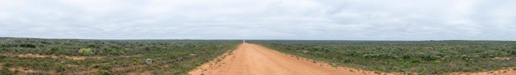
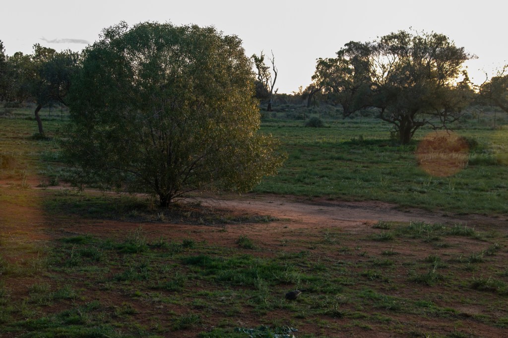
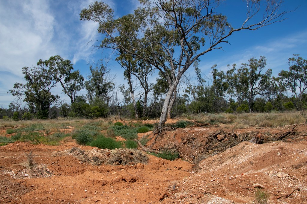
Cobar was our final stop on our December 2022 drive. It is 130km west of Nyngan (in the previous post), 300km west of Dubbo, and 700km north-west of Sydney. That means, it’s very far away from anything that resembles the ‘big smoke’. This is still in the area of the Wangaaypuwan people, whose lands start at Nyngan and stretches west until Ivanhoe.

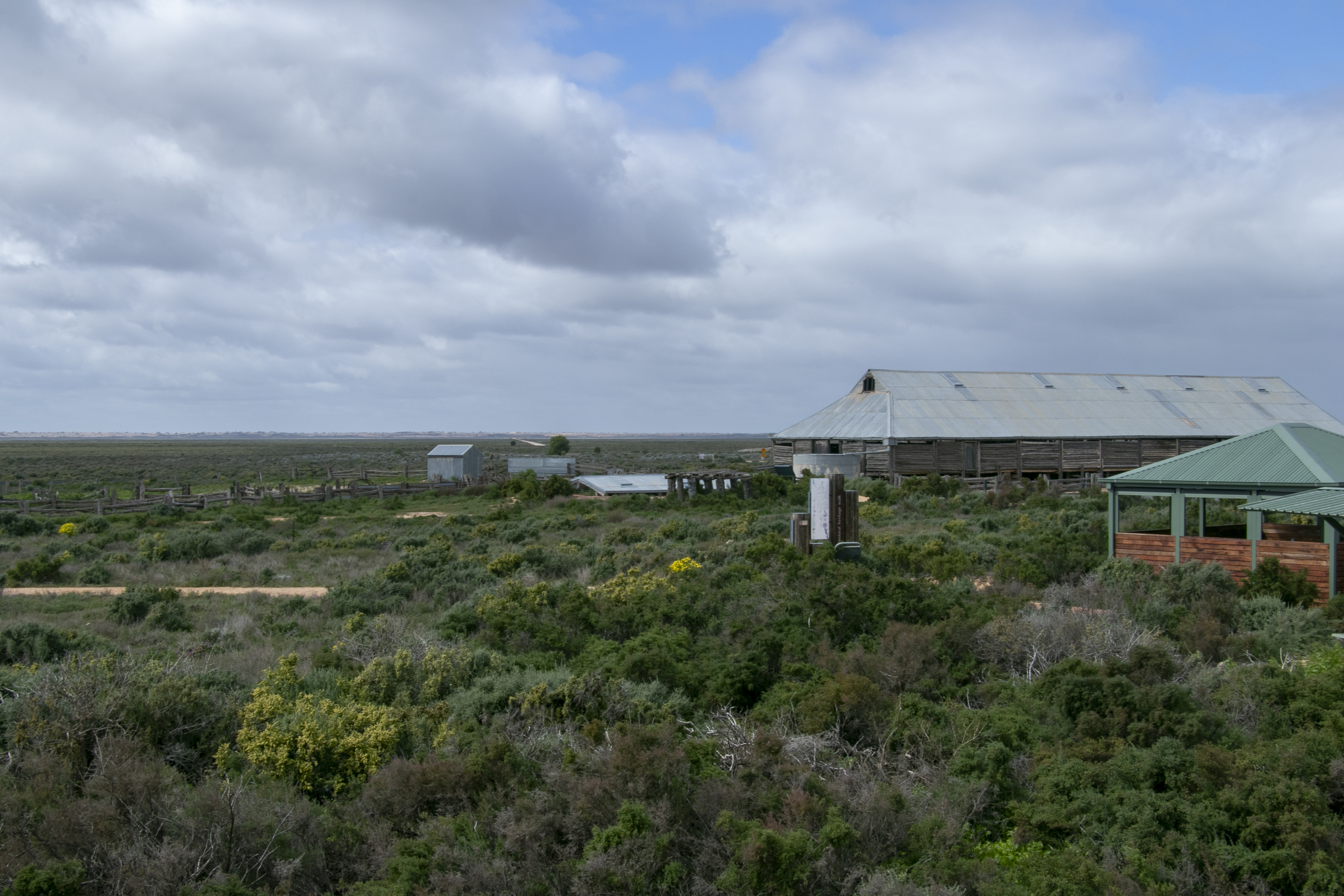
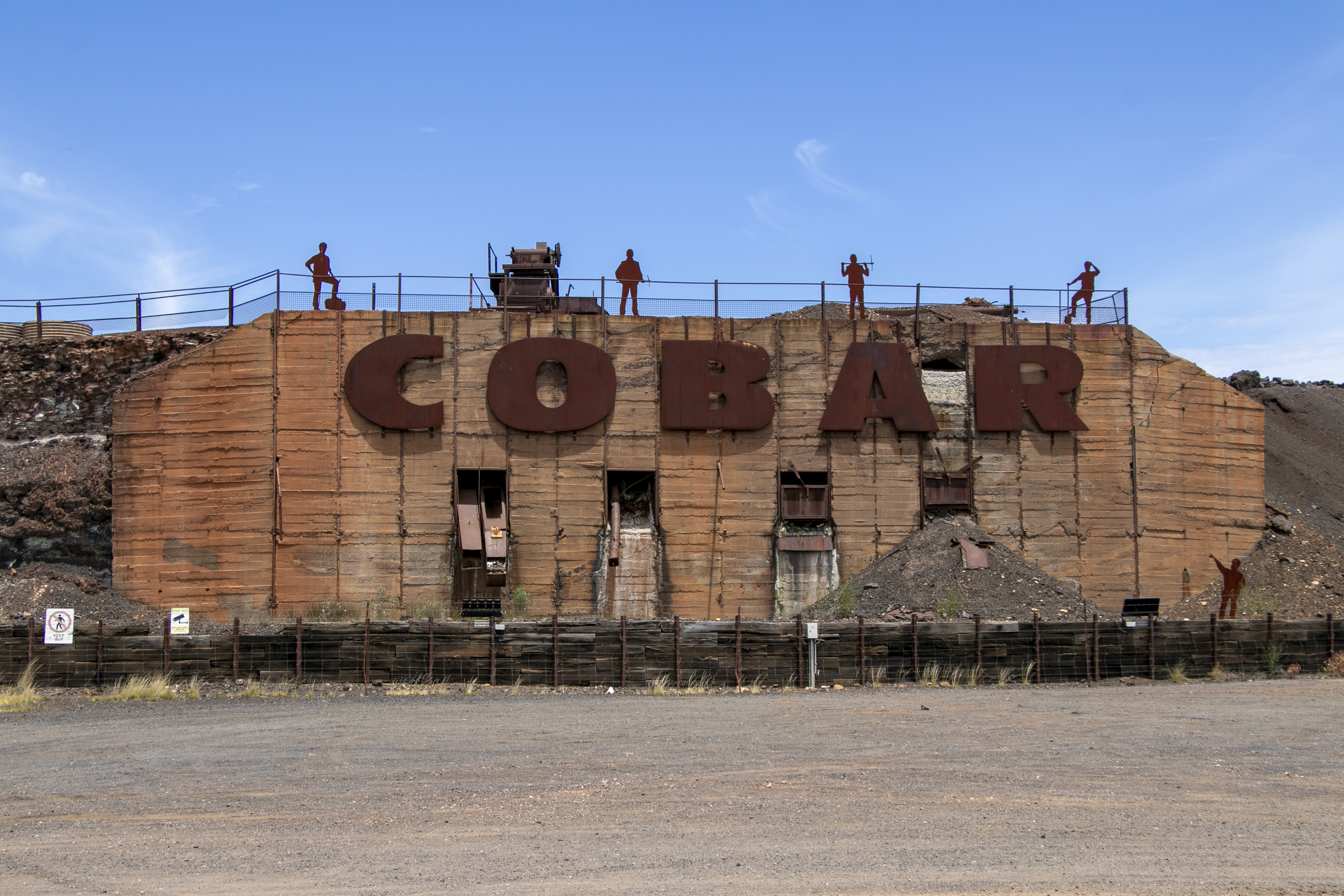
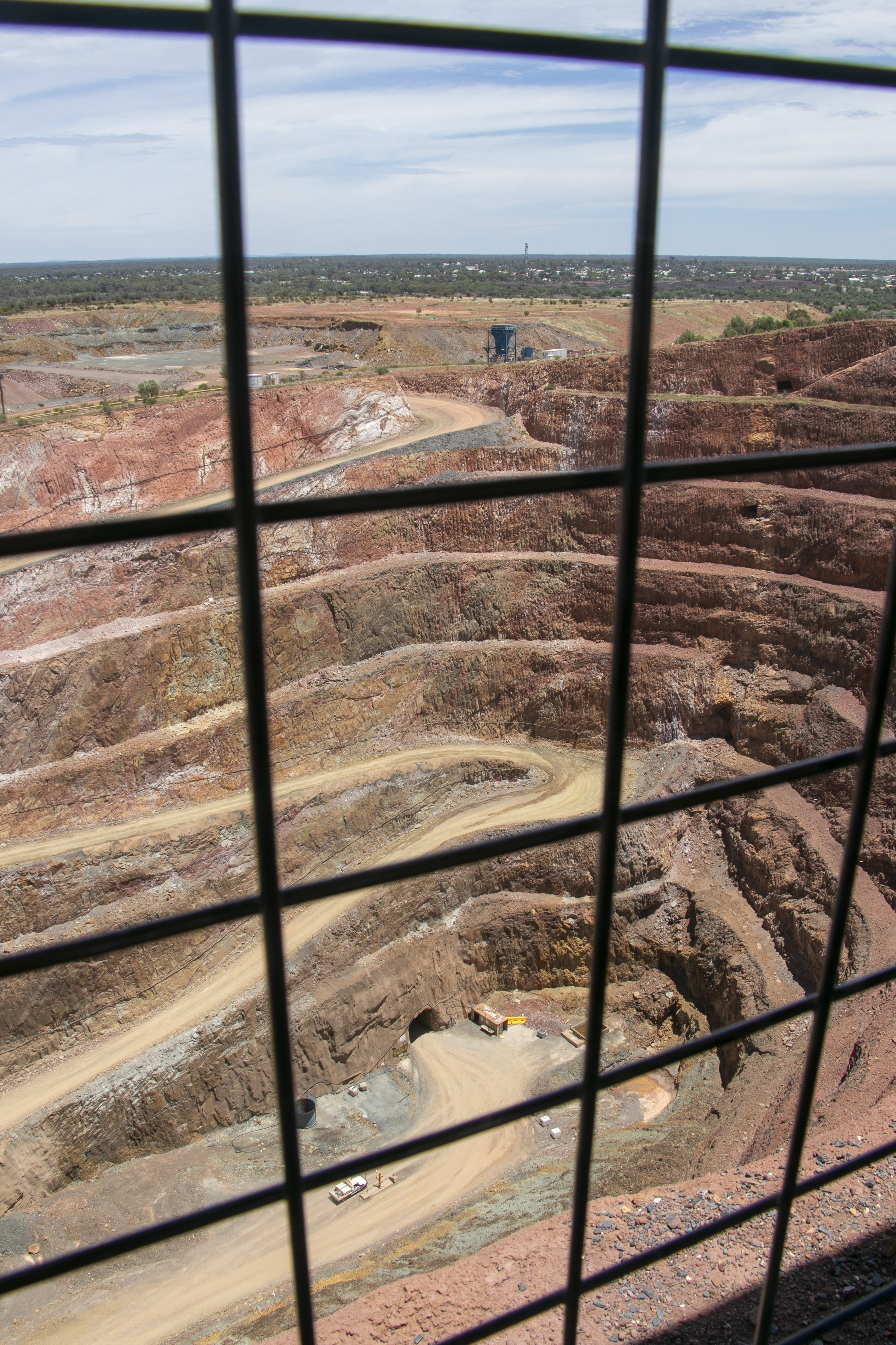
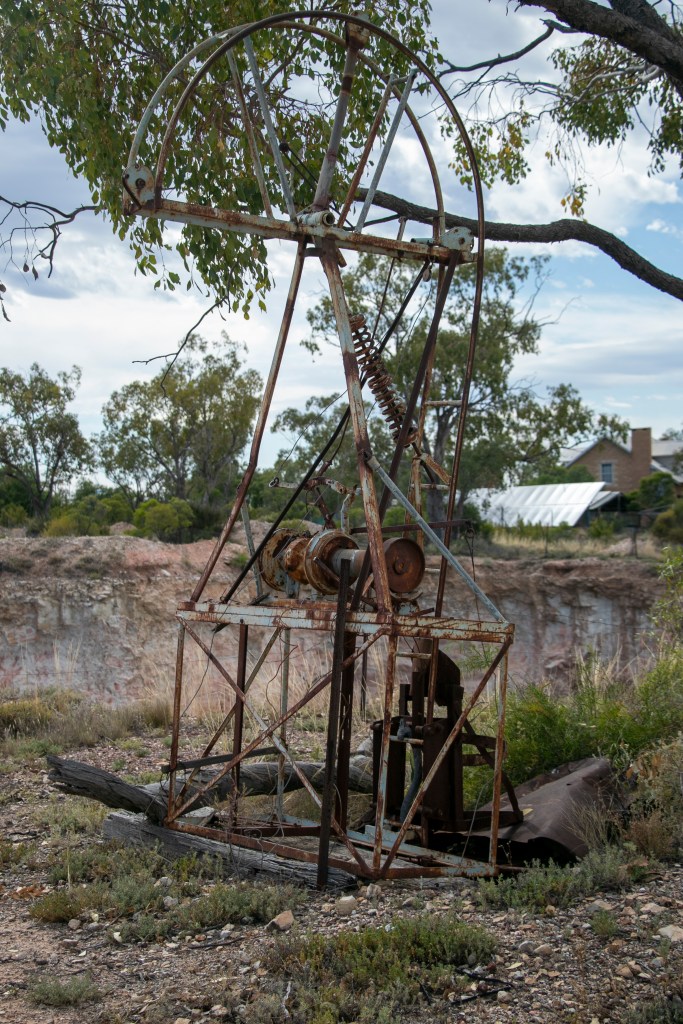
Cobar was founded on mining, and the industry still rules the roost. You can see evidence of mining all over the place, from the town’s introduction, to the lookout at Fort Bourke Hill over the Peak Gold Mine. It’s nowhere near the size of Kalgoorlie’s Super Pit but it’s big enough for me.

Cobar has much in common with its big sister, Broken Hill, 450km west, in terms of having mining at its core. However, Cobar has always been on the smaller side, its population currently being at around 3,400. Broken Hill meanwhile is much larger at over 17,000, and in the 1950s and 1960s it was over 30,000!

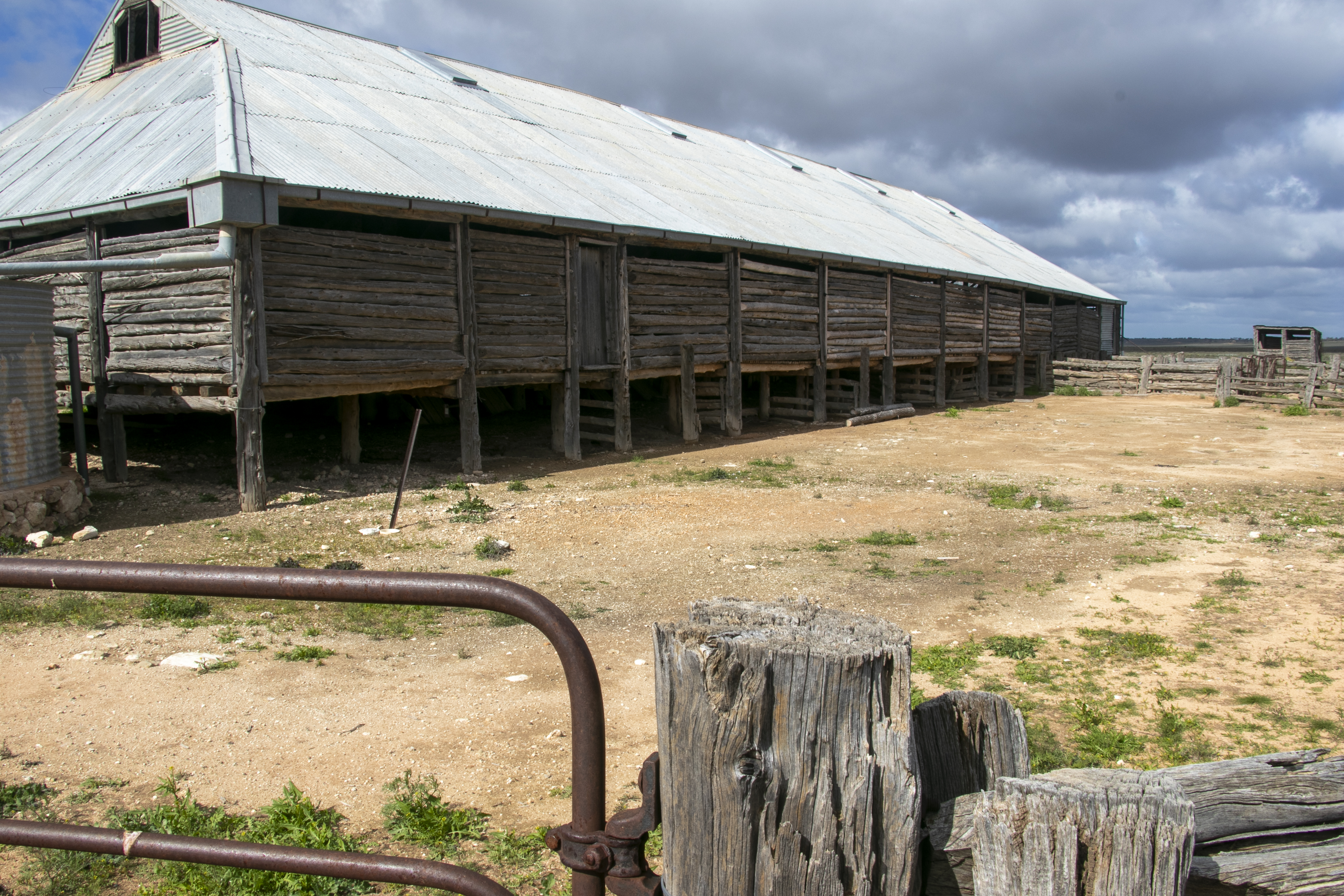
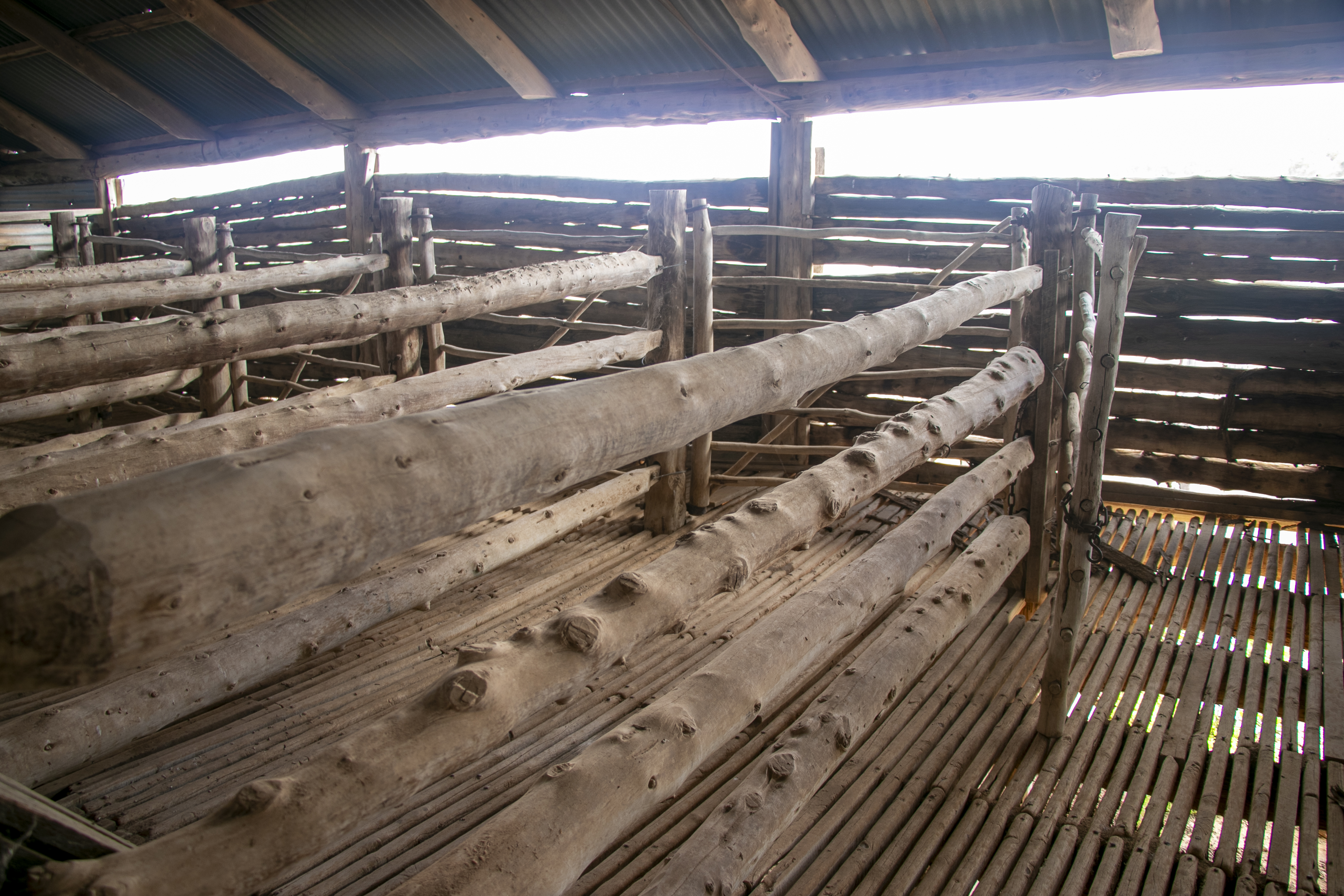
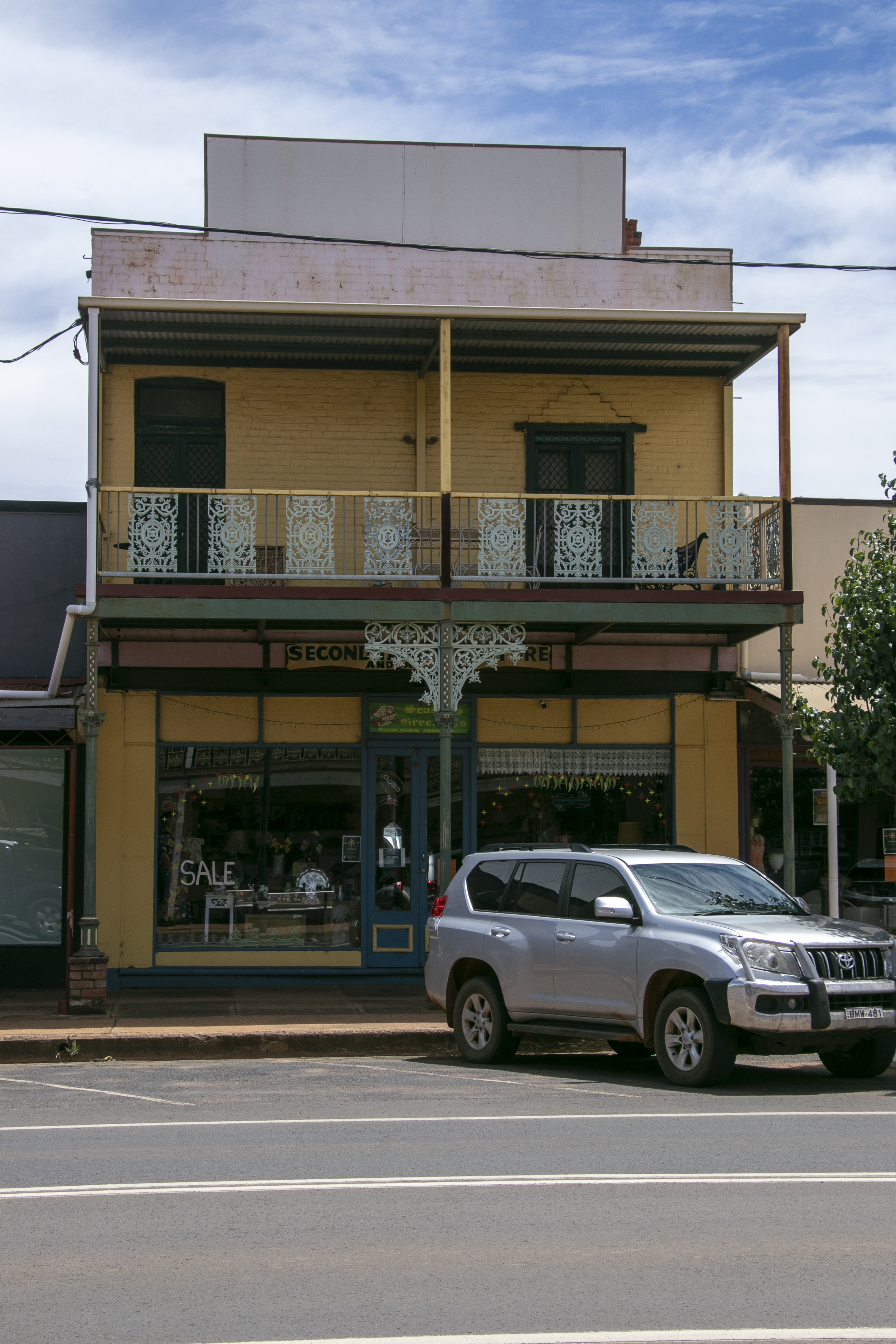
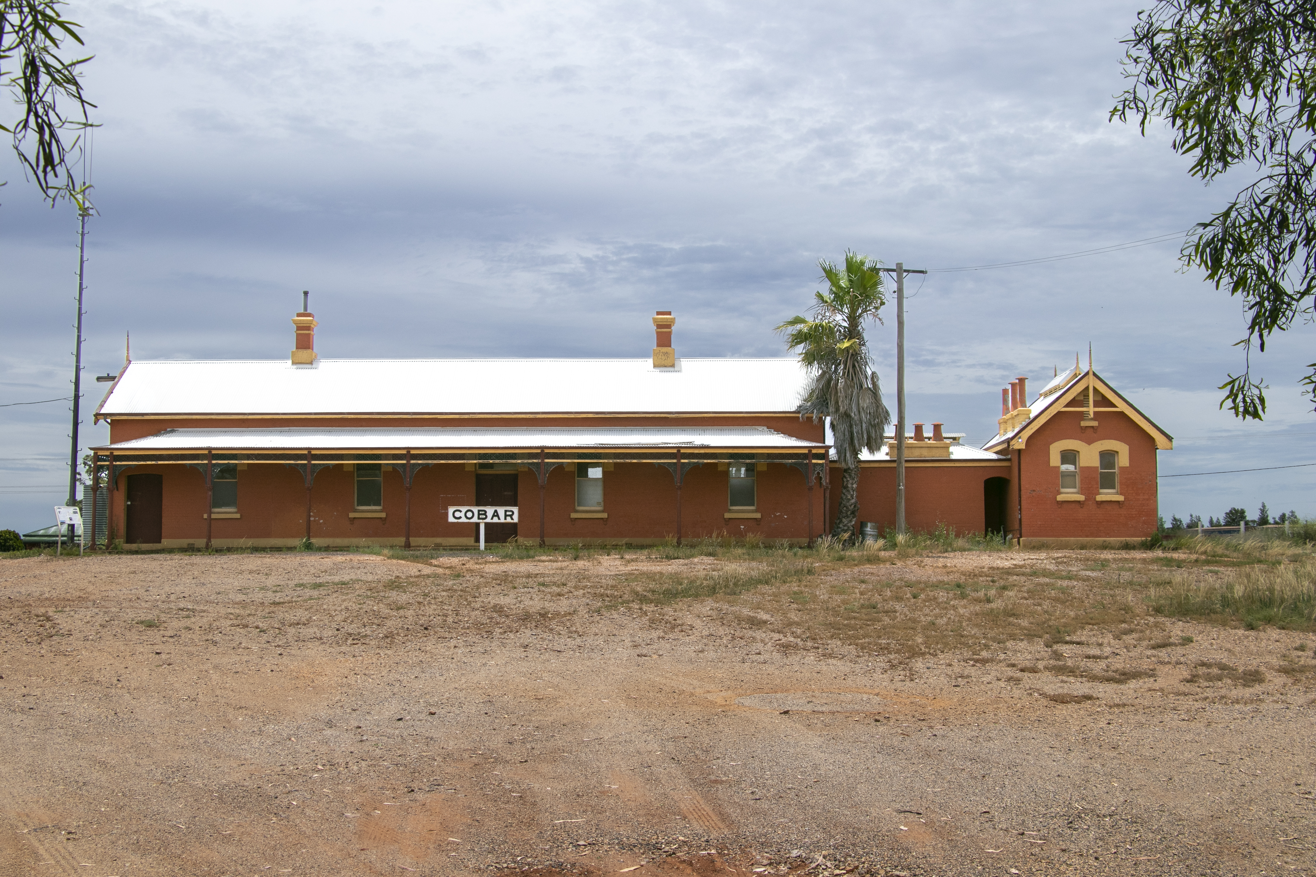
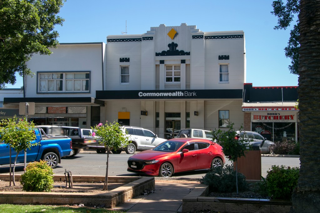
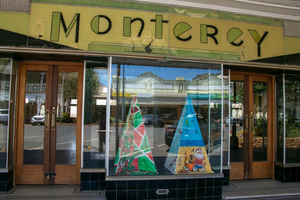
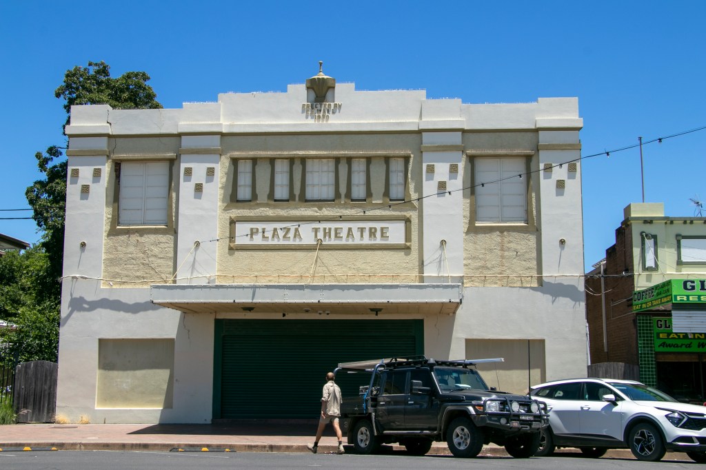
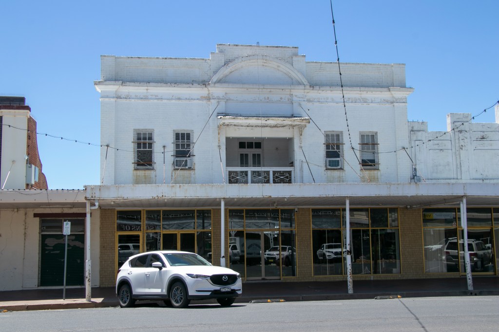
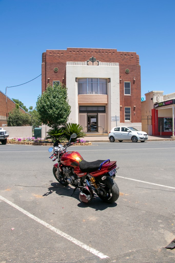
Being a smaller town, Cobar’s architecture is on a more modest scale. There was some nice wrought-iron work on its shops and pubs, and standalone buildings (like the train station that doesn’t receive anymore trains, and the petrol station) that wouldn’t look out of place in an American Western.

Next time, I’ll be venturing to more regional NSW towns, this time heading south-west of Sydney.

Outback NSW – Nyngan

We made our way even further west, and passed through the small town of Nyngan. The country around Nyngan has well and truly flattened out, but not yet tree-less.

The town of Nyngan is pretty compact and the main buildings surround the old railway station, which has become a museum. The chopper in front is a salute to the defence forces who rescued the entire town when it was flooded in 1990.

The most controversial attraction though, is the ‘Big Bogan’. It has lots of negative connotations, though to be fair, the local river is actually called the Bogan, and it was called that long before the term ‘bogan’ was a thing. Up to you to decide whether the Bogan is a good or bad thing for the town. What do you think about towns building big things as tourist attractions?

Outback NSW – Lightning Ridge – Part 2

Lightning Ridge is a mining town. It is remote. It has a harsh climate. It is in ‘woop woop’ by the standards of most East Coasters. What does the land look like? A bit like this.

The mining that occurs around the town is usually done by individuals or small groups as opals can’t successfully be mined on an industrial scale. Hence there are no really enormous holes in the ground, just thousands of little ones.

Mining is usually people’s winter ‘job’, as the high summer temperatures mean that it’s too difficult to stay year-round. In summer, they run back to the coast!

Many miners live on or near their mine ‘lease’, and council regulations appear non-existent, so they are free to build what they like. Some are so imaginative that they’re now tourist attractions.

Outback NSW – Walgett and Lightning Ridge – Part 1

We’ll continue on our December 2022 road trip and drive further north. The next town we passed through was Walgett. It didn’t have any real architectural marvels, but it was a busy, sizeable town. And it had a bit of art with a painted silo and a little art gallery.

Beyond Walgett, we drove on a very straight and flat road, and saw evidence of the Q4 2022 floods in the surrounding coutry-side.

We arrived at Lightning Ridge late in the afternoon, in time to view the sunset. Lightning Ridge is an opal mining town and proper outback country, and we’ll explore it in the following post or two.

Outback NSW – Coonamble

About 100km up the road from Gilgandra is the town of Coonamble. It is a small agricultural town of around 2,700, grazing sheep and cattle. We visited in early December so it was decidedly hot in the middle of the day.

The town itself is home to some lovely art deco architecture.

It is also home to a sizeable First Nations population, namely the Wailwan and Gamilaroi nations.

Country towns are full of characters, and Coonamble decided to commemorate many of them on plaques all around the main street. They’re distinctly… Australian.