Tag Archives: volcano

Lord Howe Island – Views of the Mountains

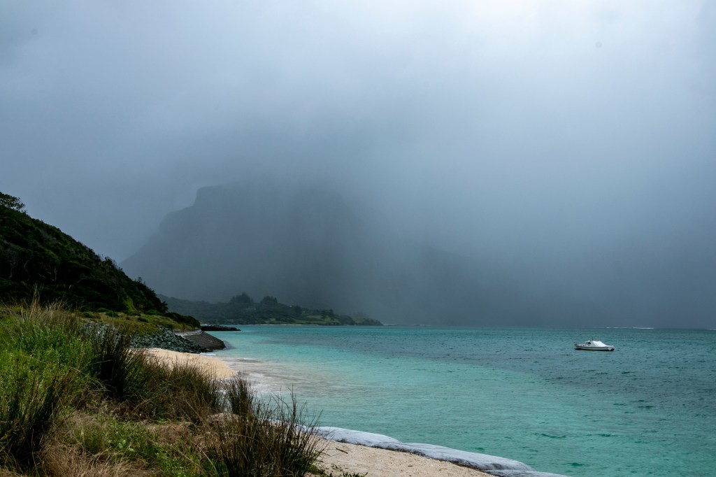
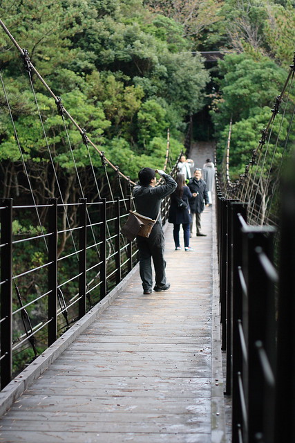
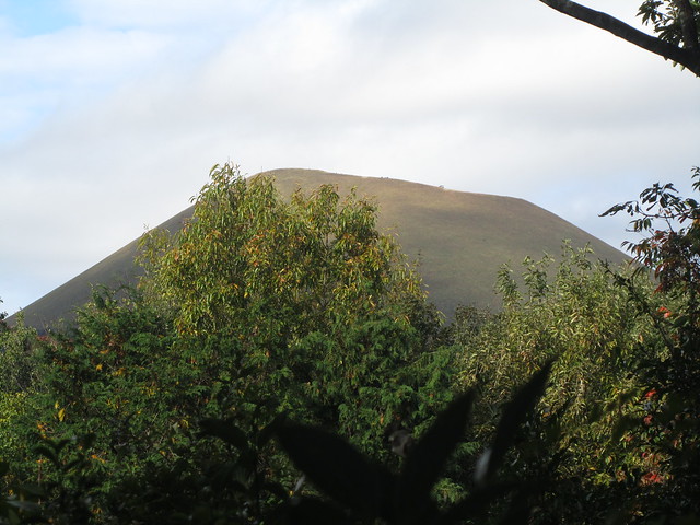
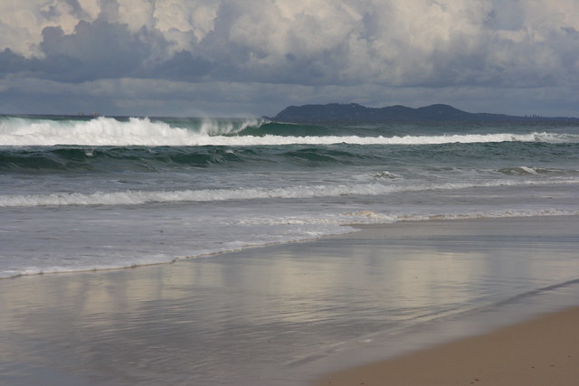
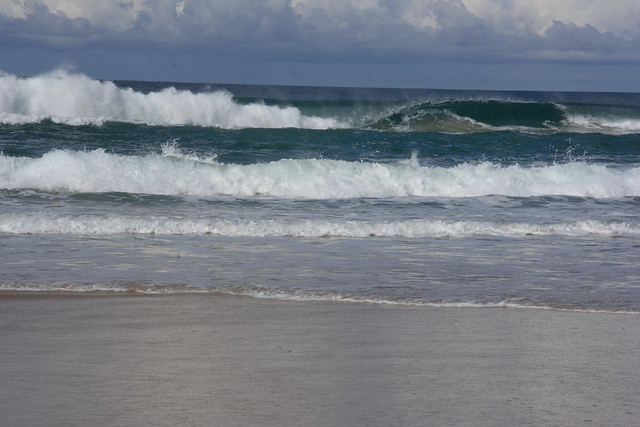
Lord Howe Island is idyllic, but it doesn’t mean that its weather is too. Remember that it’s a tiny speck in the very big blue Pacific Ocean. Whatever weather the mainland gets, it gets too, albeit it doesn’t last too long, and it’s moderated by the ocean.

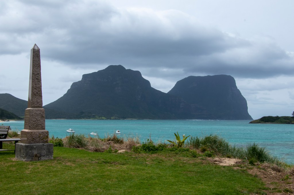
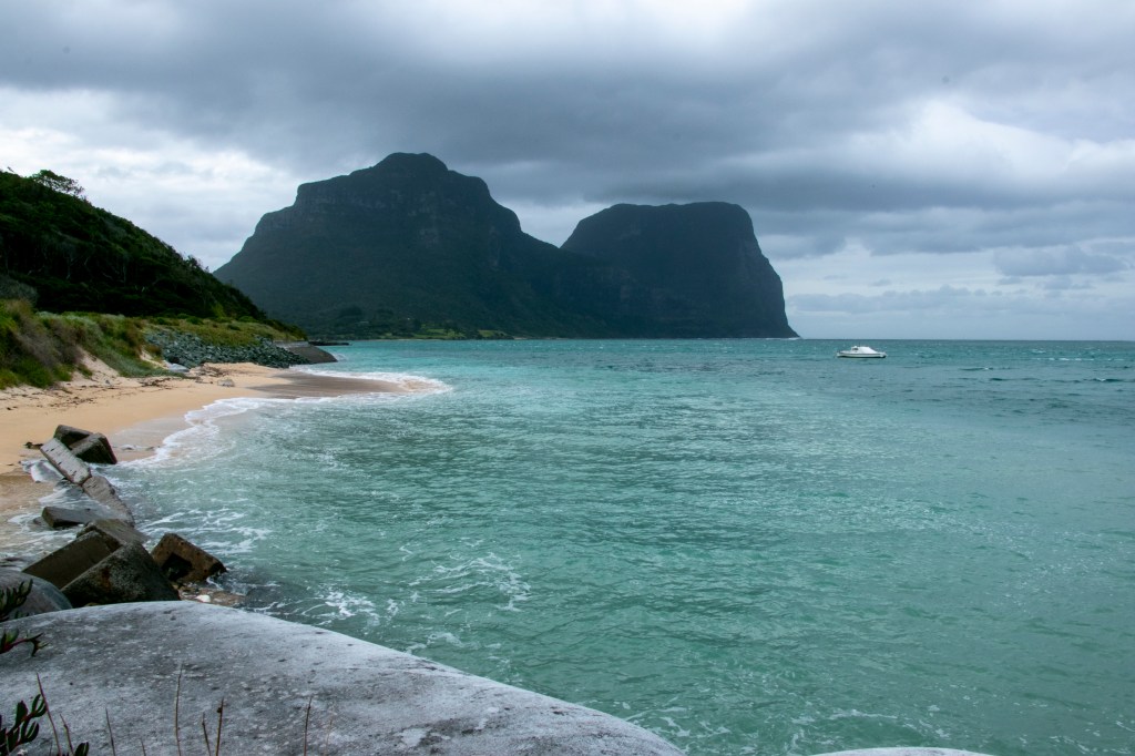
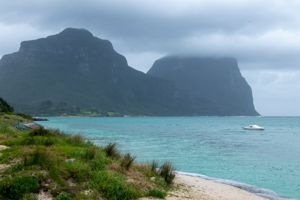
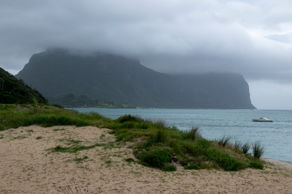
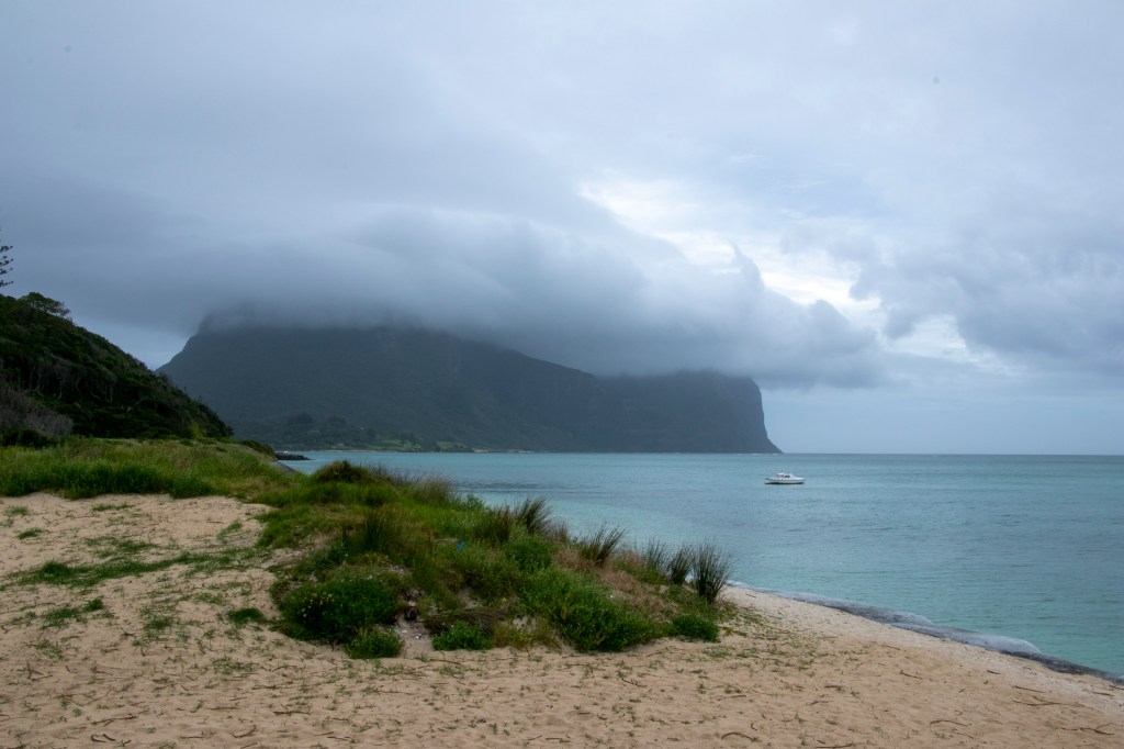
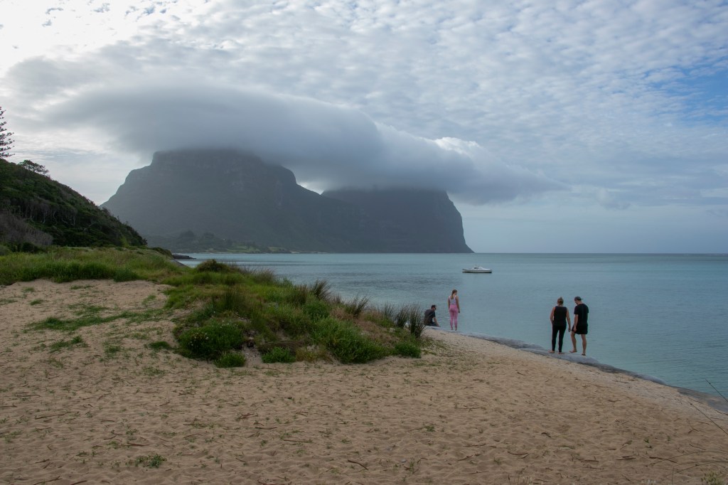
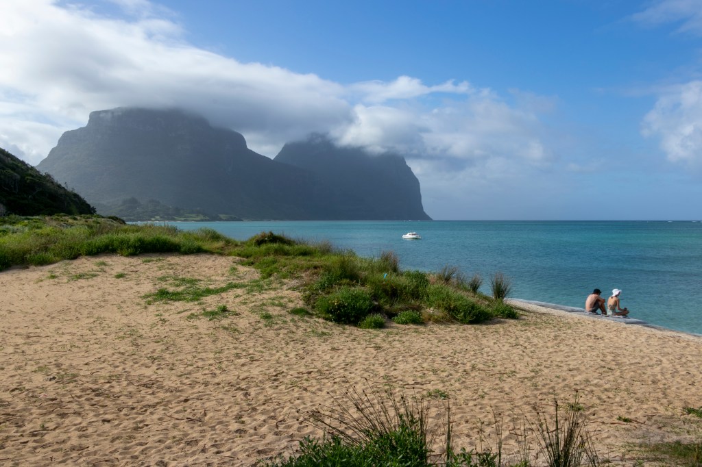
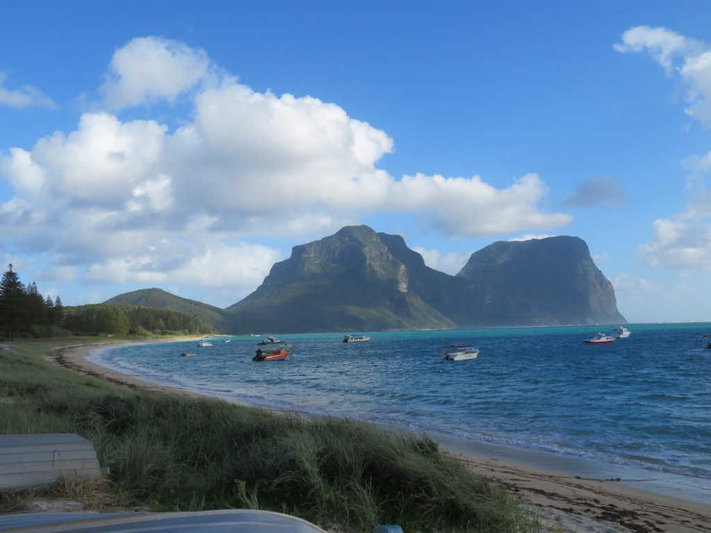
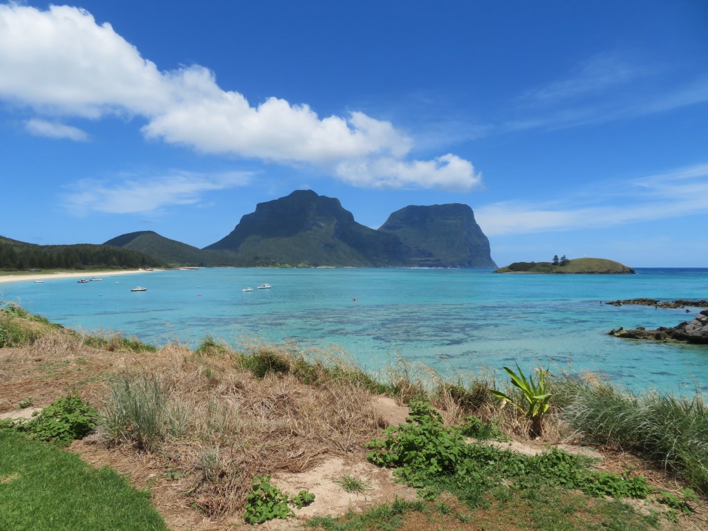
I was rather taken with the panorama of Mounts Gower and Lidgbird during my stay, so I made a habit of taking at least one photo of them per day. Turns out that it also creates a very good little chronology of the weather on the island during my stay too, and as you can see, it’s not always idyllic.

Northern Tasmania – Part 6

‘The Nut’ can be seen from most of Stanley.

From the road into town.

Stanley, Tasmania

From the middle of town.

Stanley

And from the beach.

Stanley

But what about the view from the top? The Nut is 143m tall so it’s a bit of a hike up there. But there is a short-cut for the less fit – the chair lift.

And it’s a great view from the top.

Of the town.

Stanley from 'The Nut'

The coastline.

Stanley from 'The Nut'

And the port.

Stanley from 'The Nut'

While strolling on the Nut or the town, keep a lookout for these guys – pademelons…

Pademelon

9 Views of Mount Fuji

Our destination was the tourist town of Kawaguchiko, famous for its view of Mount Fuji (or Fujisan, as the Japanese call the sacred mountain). At 3776 metres, it’s Japan’s highest mountain and renowned for being a bit camera-shy – it’s obscured by cloud for most of the year. We felt very lucky to get many fantastic views of the mountain. In fact, you really couldn’t miss it.

From our hotel rooftop early in the morning.

Views of Mt Fuji

Zooming in up-close.

Views of Mt Fuji

From the train station.

Glimpses of Fujisan

And the main road.

Glimpses of Fujisan

My favourite views were from the lakeside mid-morning.

Views of Mt Fuji

It was a view to admire (or distract) while fishing.

Views of Mt Fuji

And a spectacular accompaniment to autumn foliage.

Views of Mt Fuji

And peeping from behind the hills.

Views of Mt Fuji

By late afternoon the clouds had started to roll in, though it didn’t make the view any less spectacular. It almost made us forget that we were looking at a volcano (albeit a dormant one).

Views of Mt Fuji

From the Forest to the Sea – Part 2

The coast line that greeted us was a dramatic one, even on an overcast day. Here, the forest and the ancient lava flow met the Pacific Ocean.

Jogasaki Coast Walk

Jogasaki Coast Walk

The basalt column cliffs were formed from lava flows from Omuroyama, about 4000 years ago. In geological terms, that’s all very recent. The flows went on for miles, and it’s a great place to walk along.

Jogasaki Coast Walk

The Jogasaki Coast walk was 9km long, but we didn’t need to walk such a long way to get some great views.

Jogasaki Coast Walk

Jogasaki Coast Walk

There was even a 60 metre suspension bridge (suspended 18 metres above the sea) from which to appreciate the scene.

Jogasaki Coast Walk

We weren’t the only ones enjoying the morning walk. This couple were walking a pair of beagles along the bridge. I must say that our beagle, Bridie, wouldn’t be so daring as these little guys.

Jogasaki Coast Walk

From the Forest to the Sea – Part 1

After all that food at the onsen, we really needed a walk. Luckily, the onsen had that covered too – the next morning we joined their free guided walk down to the Jogasaki Coast.

The first part of the walk was by a fast-flowing river that ran through some spectacular forest.

Jogasaki Coast Walk

Jogasaki Coast Walk

It was a temperate rainforest, and there were plenty of details to take in.

Jogasaki Coast Walk

Jogasaki Coast Walk

Jogasaki Coast Walk

We even saw a lovely-looking spider. These guys aren’t deadly, but they do make you pretty sick. Luckily they are pretty tame, unlike some of its Aussie relatives.

Jogasaki Coast Walk

We followed the river until it tumbled into the sea.

Jogasaki Coast Walk

Jogasaki Coast Walk

And then, what did we find?

Onsen by the Sea

‘Onsen’ is the Japanese word for ‘hot spring’, and being at the junction of three tectonic plates, there’s a lot of hot water spurting from the ground. Many of the famous hot springs are up in the mountains, but because of Hubby’s geological interest we visited one that was near the ocean.

The Izu peninsula is closer to Tokyo than Kyoto, so we backtracked quite a few kilometers on the Shinkansen. We stayed in the small seaside town of Izu-Kogen, at Ryokan Hanafubuki, an onsen resort.

Hanafubuki

The ryokan is actually many buildings, some accommodation, others for hot springs, all located on a lush forest/garden.

Hanafubuki

Hanafubuki

Each hot spring (there are seven of them) had water piped from underground, an adjacent enclosed private garden and lockable doors, so you can have the place to yourself. This was really a place to relax and enjoy the onsen.

Hanafubuki

Our rooms were enormous this time, with private gardens and even a sitting room.

Hanafubuki

Hanafubuki

In a garden close by, we could see the local (currently dormant) volcano, Omuroyama. There was even a lounge chair from which we could contemplate its form. So Japanese.

Hanafubuki

Brunswick Heads – Part 2

After a lunch of fish and chips (what else), we visited the beach. Looking to the south, you can see Cape Byron looming. Unlike Cape Byron, there was hardly anyone to be seen.

Brunswick Heads

Like the evening before, the swell was definitely up, producing some spectacular waves.

Brunswick Heads

Not surprisingly, there was a bit of flotsam on the beach, most noticeably (for a geologist anyway) pumice stones. There were some big chunkers high up on the beach. Someone thought that they would make a good sculpture.

Brunswick Heads

Hubby thinks these might have been washed in from a recent volcanic eruption in the South Pacific, perhaps all the way from Vanuatu.

Taupo

Down the road from Rotorua in Taupo, they make use of the geothermal energy by building powerstations.

Taupo Geothermal Power Station

The raging Waikato river (shown below at Huka Falls), means that there are also hydroelectric power stations too.

Huka Falls

Huka Falls

One needs only to look at the vastness of Lake Taupo, the result of a supervolcano eruption, and whose vast caldera is still active underground, to know that there’s certainly energy available, but if that volcano was to erupt again, then we’d all be in big trouble.

Lake Taupo

Lake Taupo

Rotorua – Part 2

Aside from geysers, there were plenty of geothermal attractions all over the place. In some places you really did need to watch where you were going lest you fall into a pool of hot, acidic mud.

Wai-o-tapu

Hell's Gate

The mineral rich pools came in all shades, no food colouring involved.

Wai-o-tapu

Wai-o-tapu

Wai-o-tapu

In other places, the landscape created by all of this turmoil was very pretty.

Hell's Gate

Waimangu

There were plenty of stories told by our various guides, particularly from the 19th Century when a local volcano, Mount Tarawera, erupted, destroying much of the area and killing many people. It could happen again, and soon. Despite this, Rotorua is one of the North Island’s bigger towns being a centre for forestry, energy and tourism. It goes to show that the locals must be hardy types.

Hell's Gate