Tag Archives: drive

On My Way Home – Canola Trail

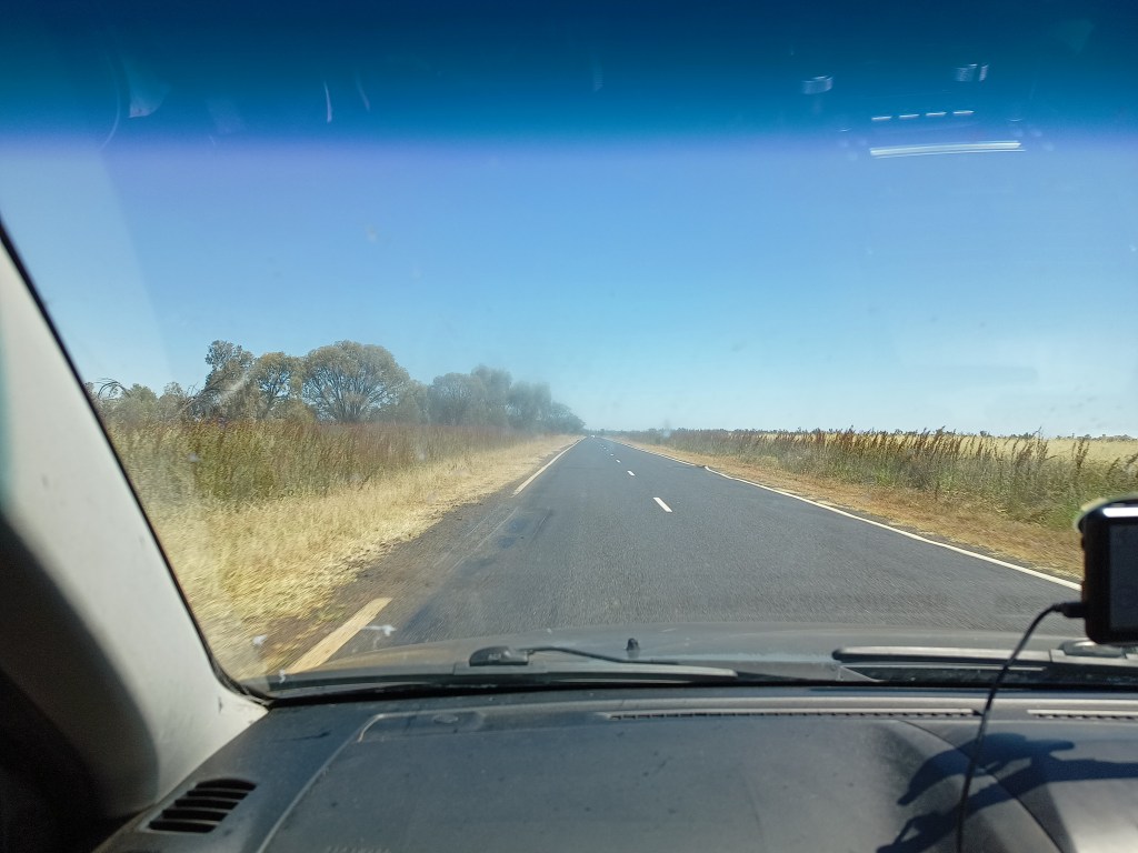
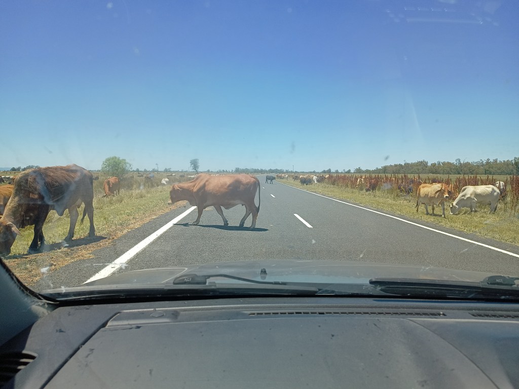
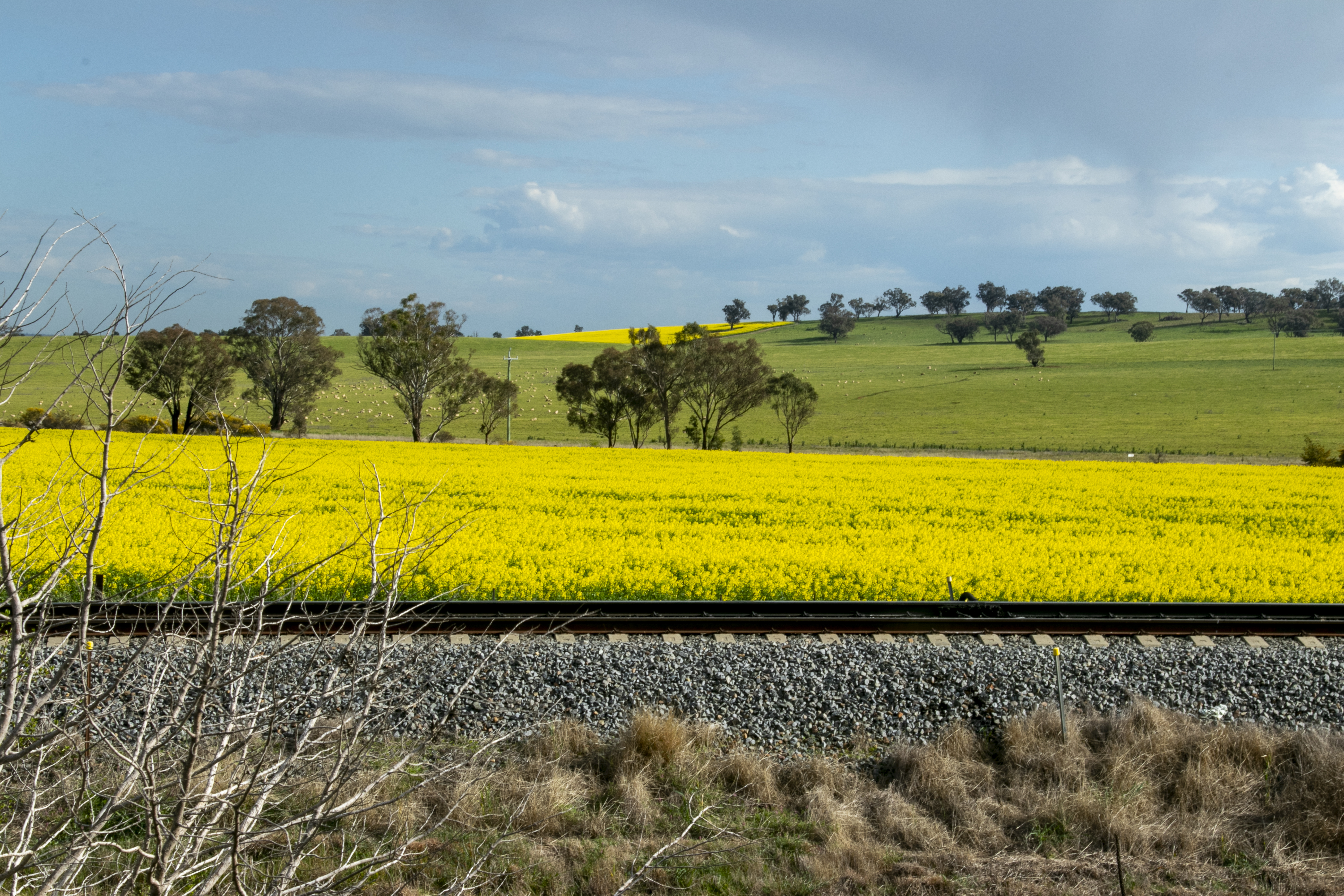
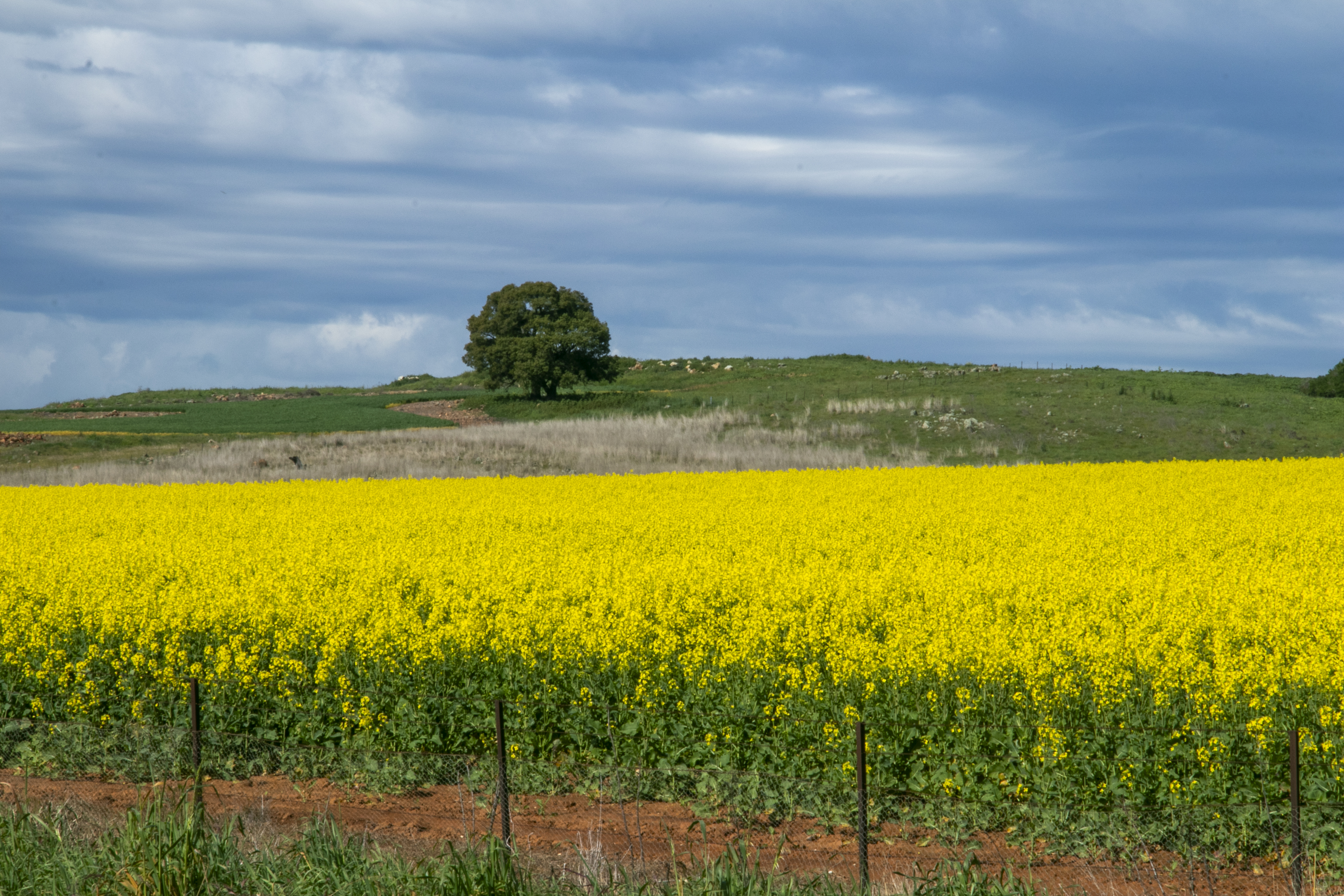
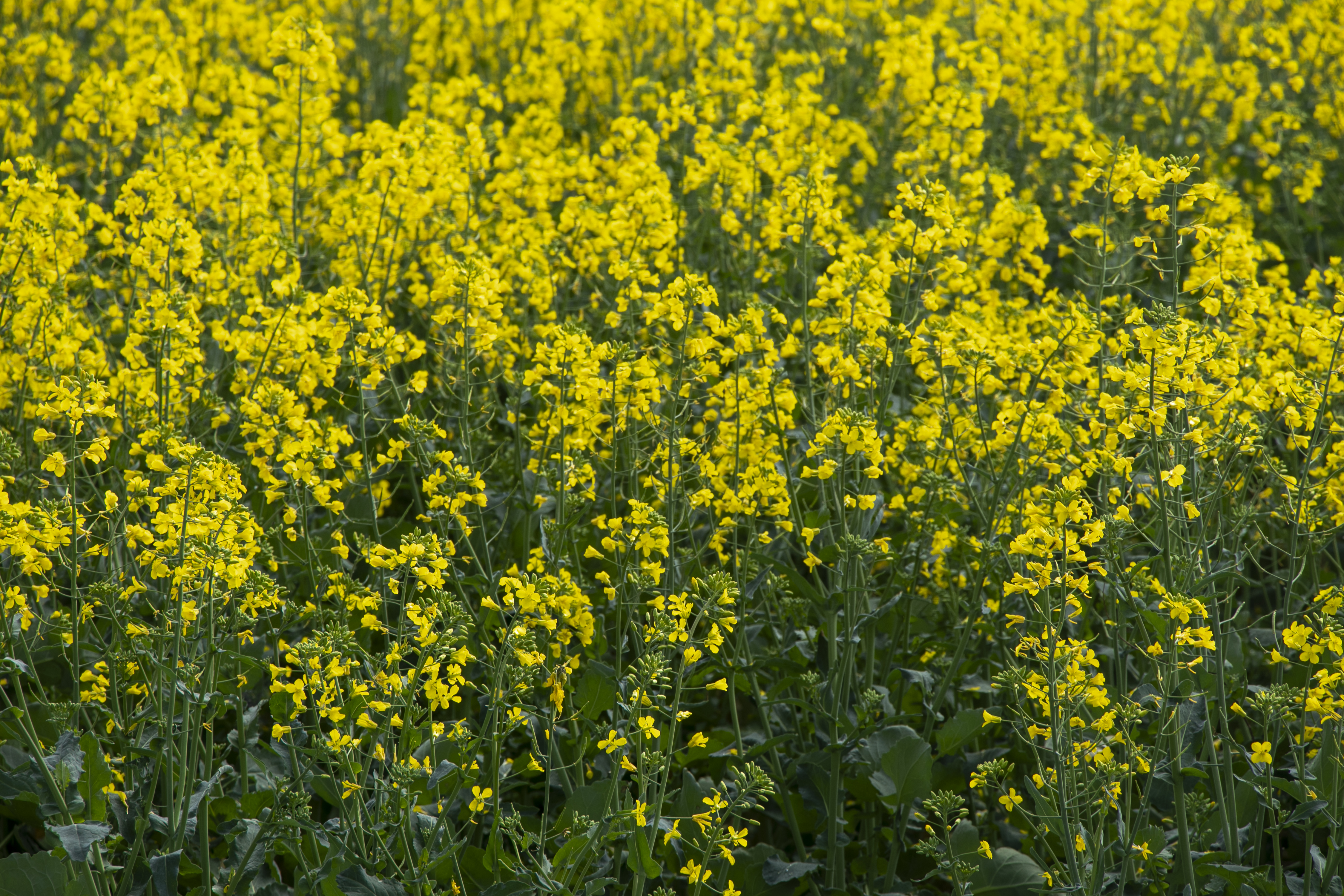
Our last stretch towards home on our Winter 2023 adventure involved driving down the stretch from Narrandera to the Hume Highway. This involved driving on the many quiet country roads that made up the Canola Trail. This is a triangle between the towns of Temora, Coolamon and Junee where the crop canola is grown (to be made into oil).

Canola Way

The crop blooms at the end of winter, and fields suddenly go from lush green to fluoro yellow! Who knew that your humble deep fry oil had such picturesque beginnings?

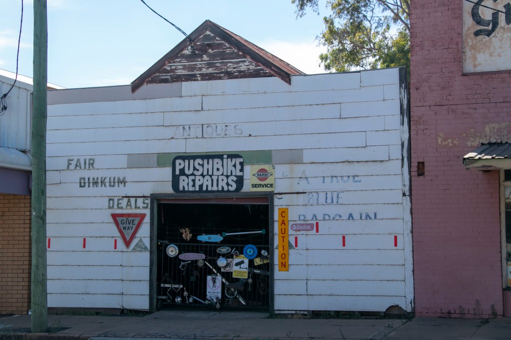
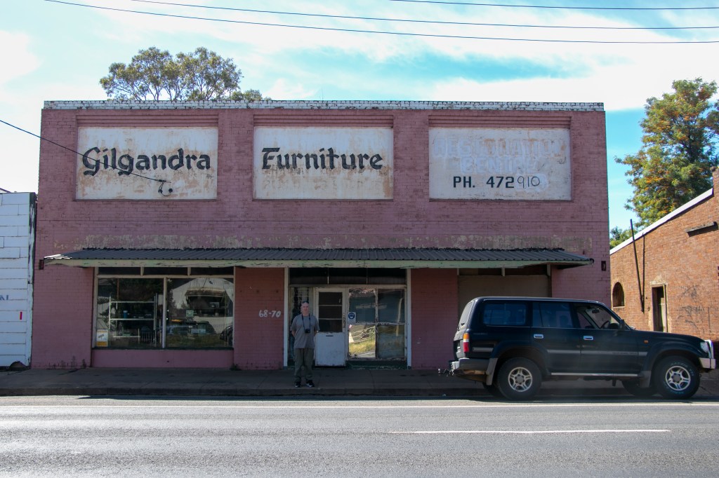
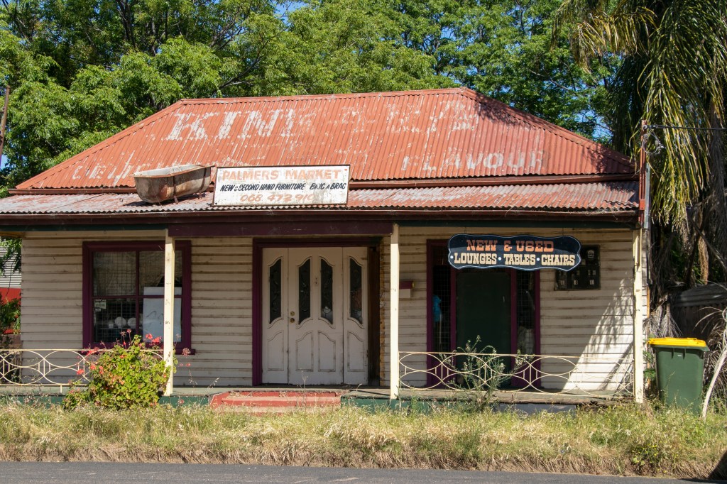
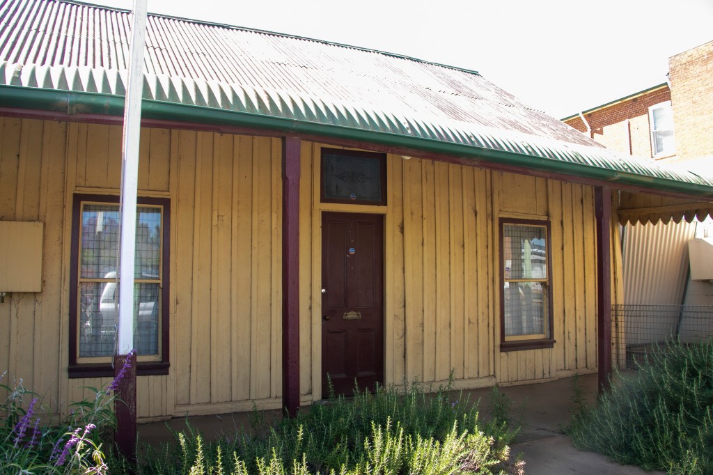
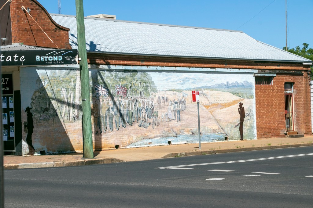
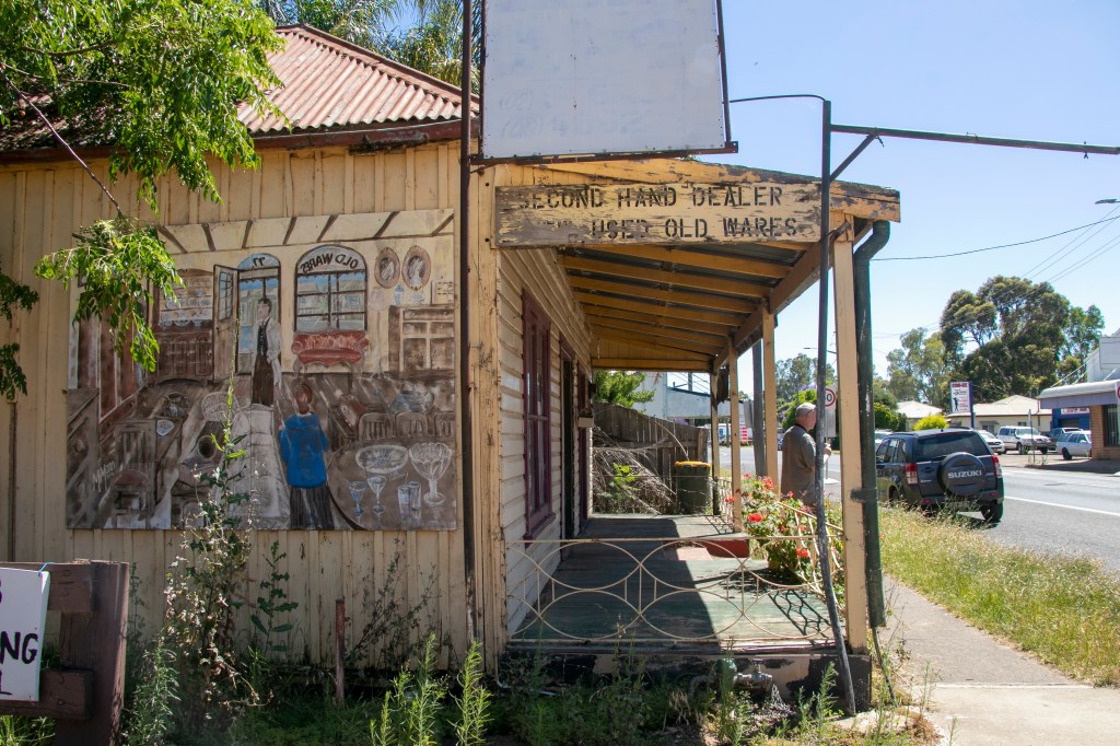
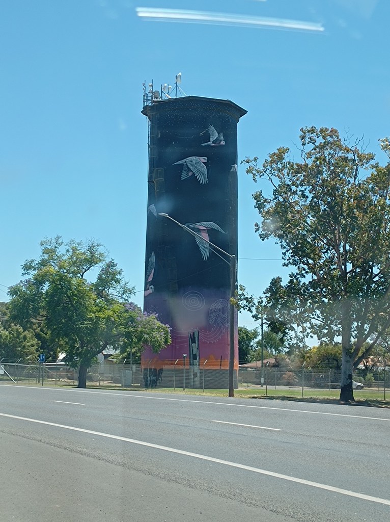
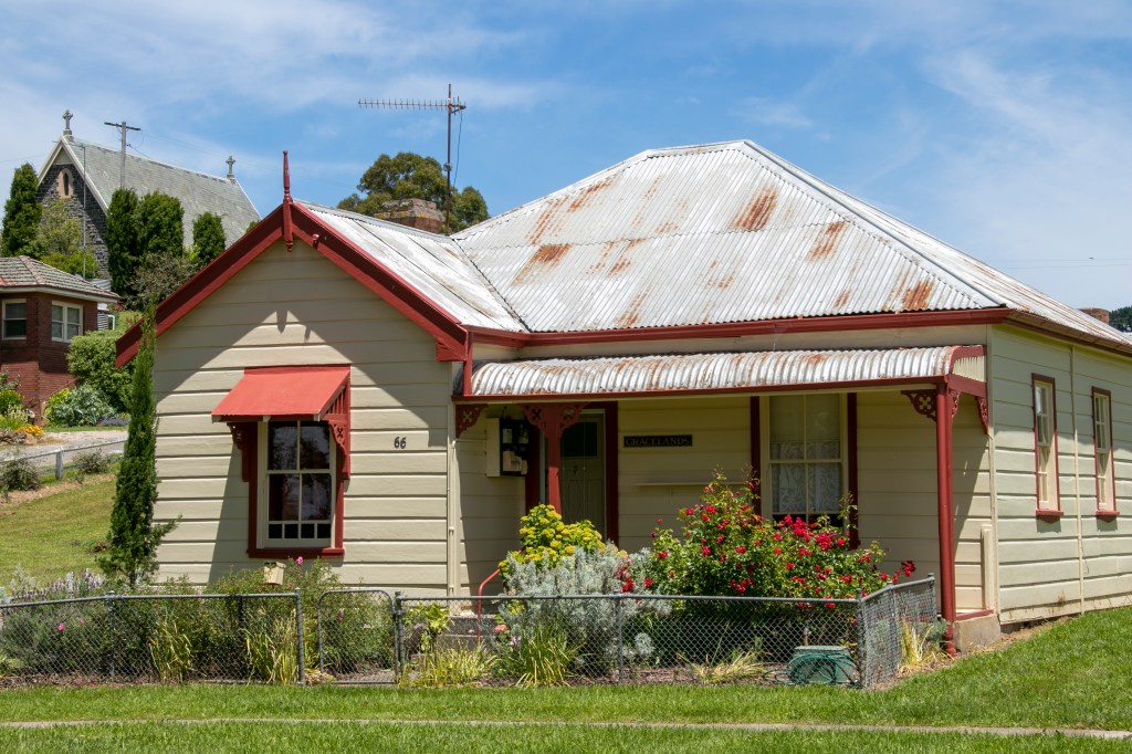
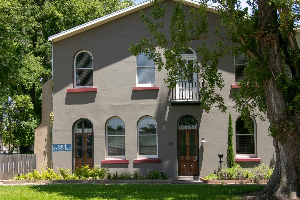
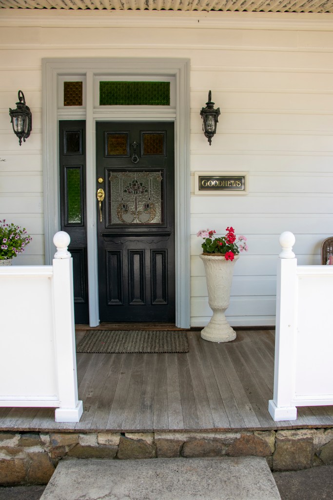
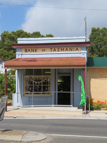
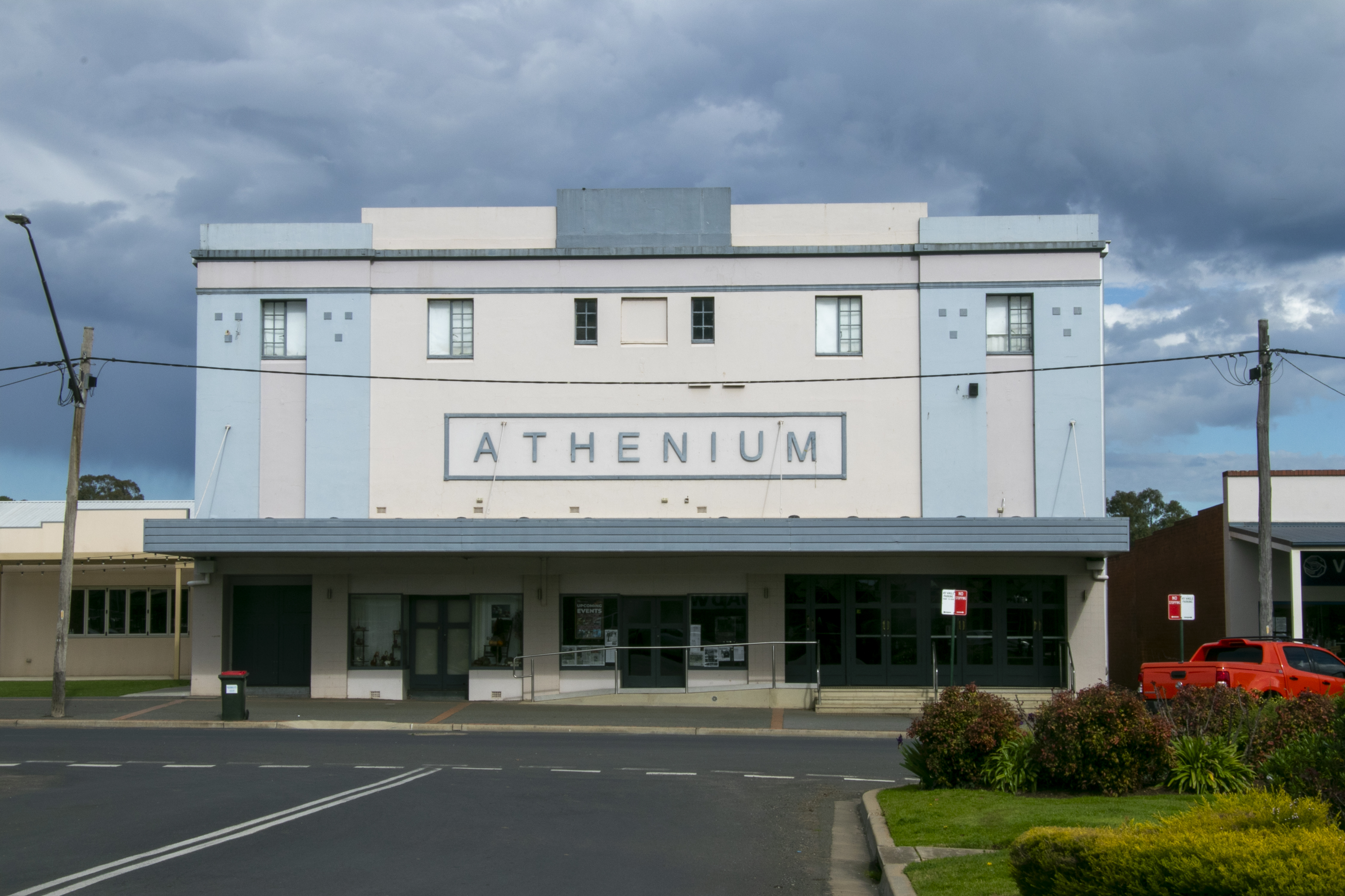
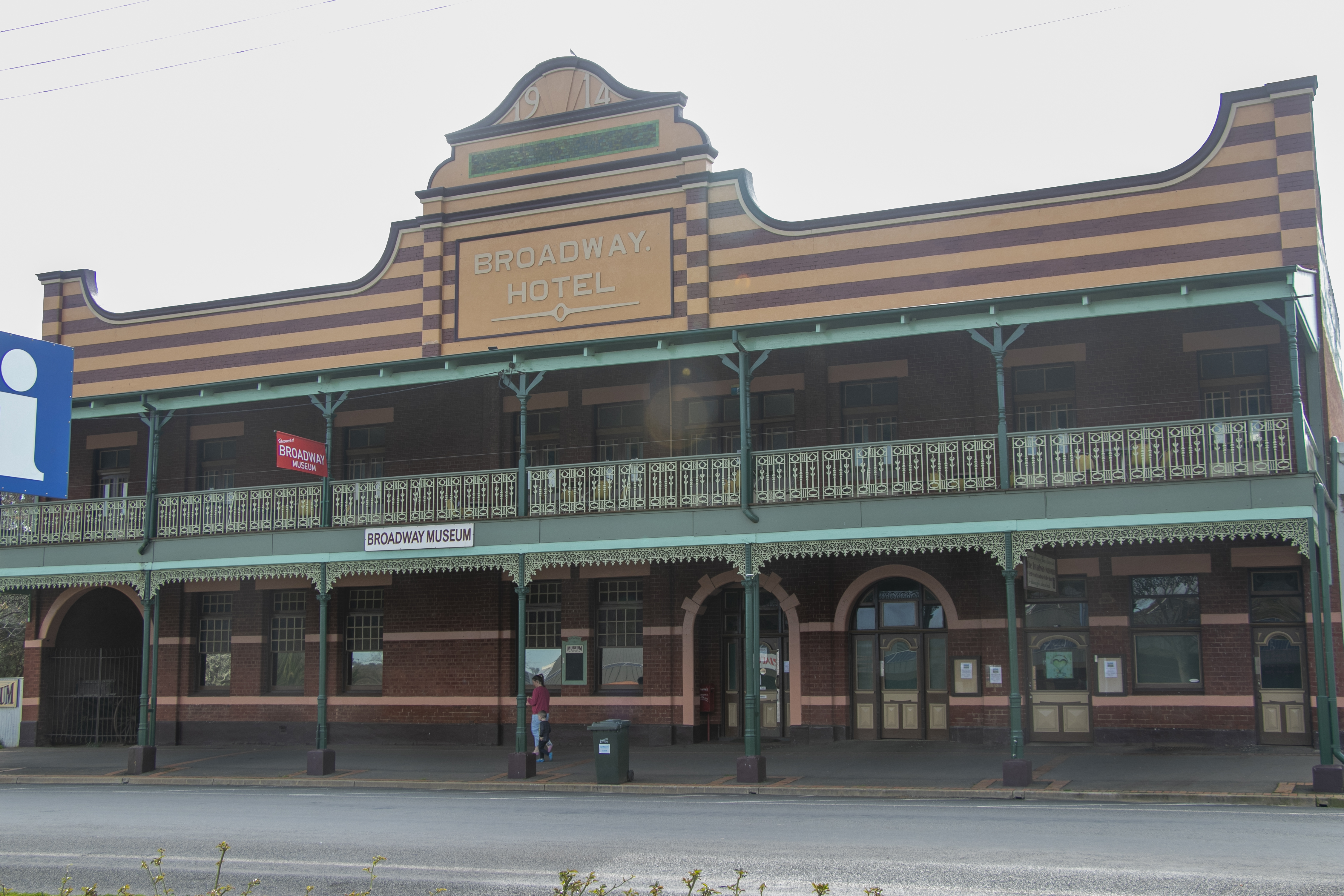
At the end of the trail was the cute little town of Junee. It had an assortment of well-kept historical buildings from various eras. It is also just off the Hume Highway, meaning, the next stop was definitely home.

And that’s the end of our Winter 2023 journey out west. If you’re new to the blog, check out my previous posts about this journey out west. I have more adventures to post about, so stay tuned. Hint, we’re not heading west this time!

Outback NSW – Gilgandra

Let’s start our study of Outback NSW towns with Gilgandra. By definition it is a Central West town (it’s less than 70km north of Dubbo, a genuine Central West NSW town), but since it is on the road to the Outback, we’ll classify it is an outback town for this post.

Being so close to the metropolis of Dubbo (whose population is nearing 45,000) means that Gilgandra is virtually a suburb of Dubbo. It also means that any facilities it once had had been taken away, as it’s just as ‘convenient’ to go down the road an hour (which is the country equivalent of 10 minutes by city standards). It’s left many of its shop-fronts vacant – they’re relics of a by-gone era. On the plus-side, it’s close to facilities, with real estate prices that haven’t yet gone through the roof.

The town was certainly on the sleepy side when we dropped by, but was a pleasant change after the controlled chaos of Dubbo (those roundabouts are worse than Canberra’s – big call, I know, but have you ever shared a roundabout with a road-train?). 

I like the murals that were dotted around the town. They are now a feature of a lot of country towns, I noticed, and I wholly approve. The more art the better, I say! 

Outback NSW – On the Road

Today I’m starting a new series of posts about our adventures in the far west of NSW. This post is from our trip in December 2022. It was warm to hot, and the previous month had brought heavy rains to this region. In this post, we were driving up the Castlereagh Highway between Gilgandra and Lightning Ridge. The landscape is very flat, with farm-land on either side. 

You can see some of the fields were still flooded, in other places it was functional enough to let the stock back on. 

We passed through a few sizeable towns – Gilgandra, Coonamble and Walgett. Some had silo art, while others even had an art gallery.

Taralga and the Southern Tablelands

We concluded our trip with a visit to the Southern Tablelands directly south of Abercrombie Caves. Lots of gentle landscapes here, west of the Dividing Range. We stayed in the middle of it near the hamlet of Laggan.

We took little drives around the area, visiting the slightly bigger village of Taralga. Taralga was a pretty sleepy place, but it had some nice architecture of varying vintages along its main street.

That’s all for our drive around Central NSW that took place back in December 2021. Almost two years have passed since then, so I’ve got a lot more of NSW to share. I’ll be back next time with another drive around this lovely state.

Abercrombie Cave

I haven’t posted about caves in a long time. Probably because I haven’t been to any in about 10 years. We’ll visit a less well-known one in this post – Abercrombie Cave.

Often outshone by the much more extensive Jenolan Caves or Wombeyan Caves, Abercrombie is tucked away in the western side of the Great Dividing Range, off the Bathurst to Crookwell Road. It’s just one cave, really, and a relatively short and straight-forward one, so it’s self-guided – the ranger let’s you in and then walks away! But because it’s so secluded, we got the cave all to ourselves for a whole 30 minutes!

Northern Tasmania – Part 2

We continue on our drive around Tasmania by driving across the top of Northern Tasmania. We had a few stops in a few towns. Like Ulverstone, where there was some nice old architecture.

Ulverstone

And we strolled on the beach, which faced the Bass Strait.

Ulverstone

We then continued east to the town of Penguin, known for, well, you know what. There were plenty of penguin paraphernalia in the streets, and this wonderful giant Christmas penguin (we visited in early December).

Penguin

We didn’t stay overnight in these towns, instead we headed to…

Northern Tasmania – Part 1

That’s all from Launceston, but it’s the beginning of our drive around Tassie.

Launceston

The next morning we made our way north along the Tamar Valley and stopped at the little town of Beaconsfield. It was up until 2012 a gold mining town. A mine collapse in 2006 contributed to its end.

The town was founded in the mid 1800s and was quite a prosperious place. Now it houses the Mine & Heritage Centre.

Downtown Beaconsfield

Downtown Beaconsfield

Downtown Beaconsfield

From West to East – Part 4

So it’s downhill from the crest of Lewis Pass, but no time to get distracted as there’s the odd landslide to dodge.

Driving Lewis Pass

And a few twists and turns.

Driving Lewis Pass

Here, the road follows a series of rivers. First the Lewis, then the Nina, the Boyle, the Hope, and finally the Waiau Uwha, as it makes its way to the Pacific Ocean.

Driving Lewis Pass

Driving Lewis Pass

We travelled in early summer, so the rivers weren’t flowing full-pelt. It must be exhilarating to see it in full force in the spring time.