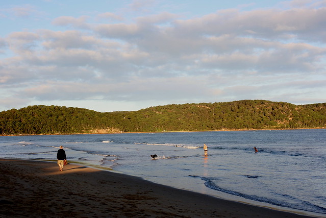
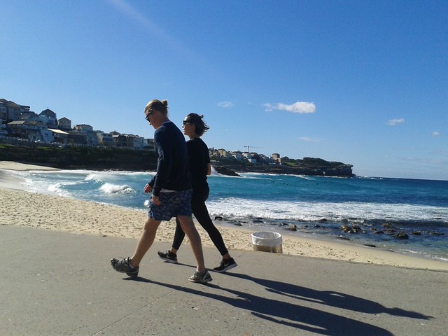
This spell of warm weather seems never-ending at the moment. Today it was 28C here in Sydney, warm enough to enjoy the beach. These photos though were a few weeks ago during the Anzac Day weekend. Umina Beach was surprisingly deserted for a long weekend.
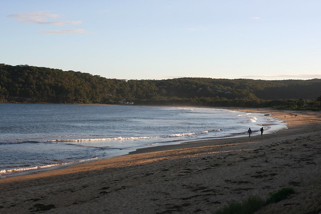
There was very little swimming going on even though the water temperature hadn't dipped as yet.
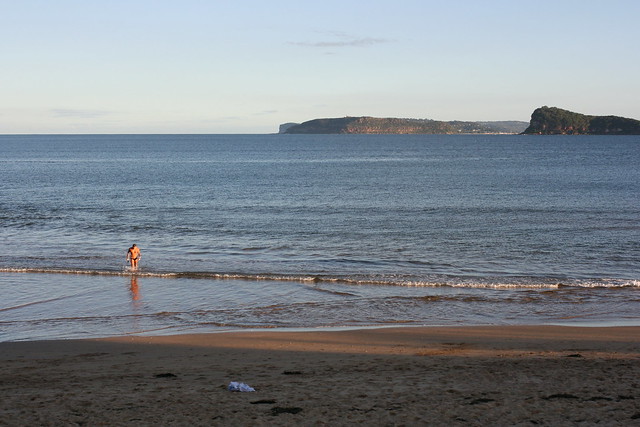
I think there were more dogs than people in the water that afternoon.