Tag Archives: kimberley

Cockburn Ranges – Part 1

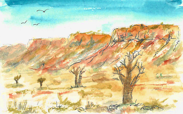
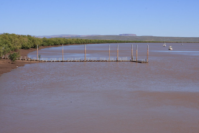
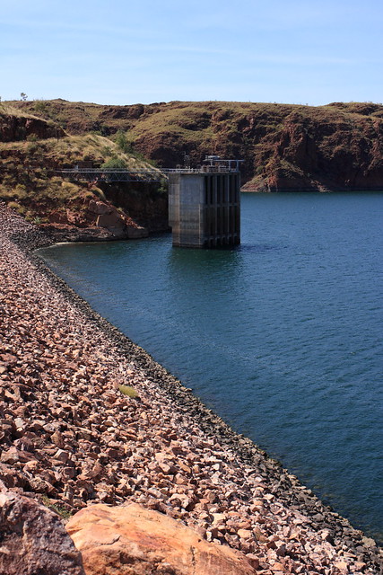
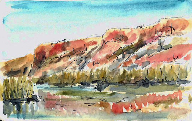
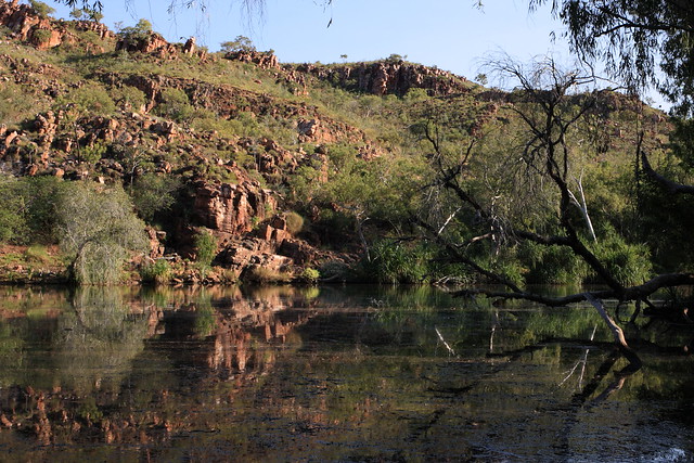
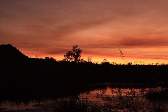
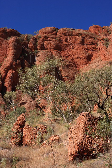
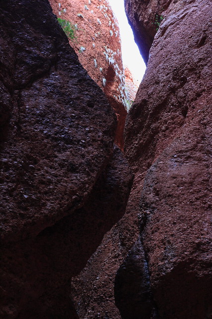
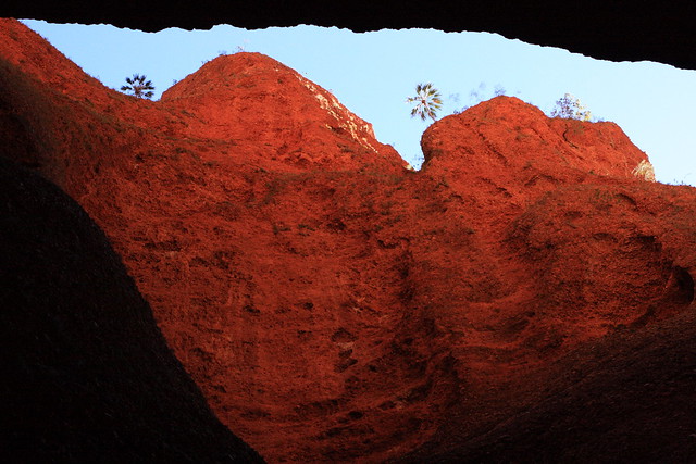
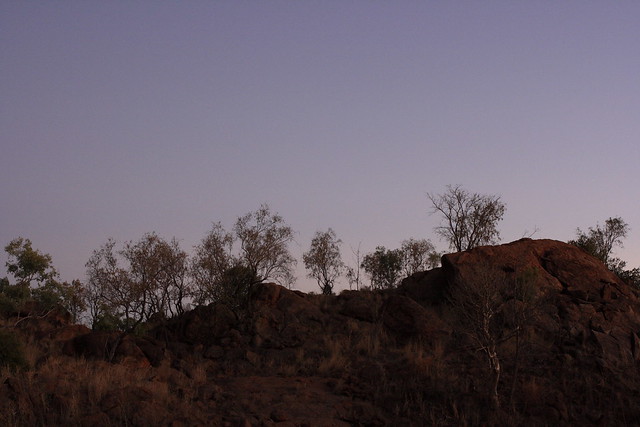
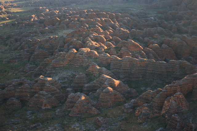
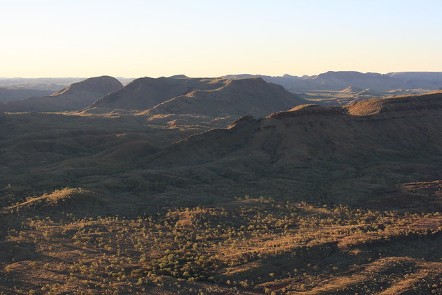
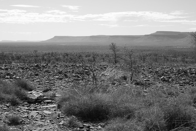
After Wyndham, we returned to those distant hills, and as we drew closer we saw that it was a sandstone range – the Cockburn Range.

El Questro and Pentacost River

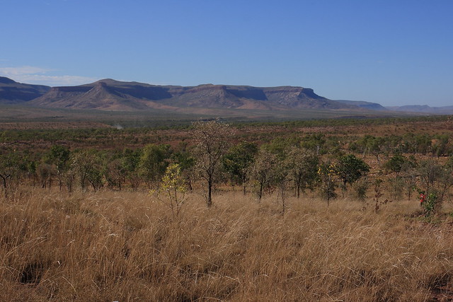
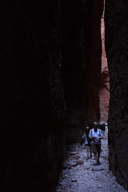
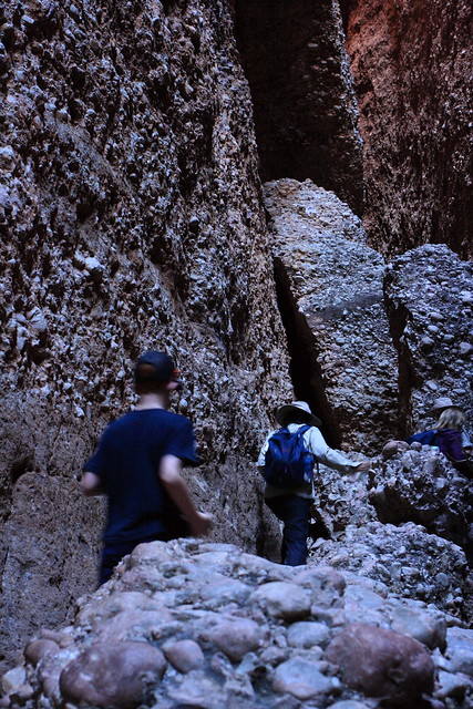
These mountains formed much of the backdrop to the first half of Australia – they’re very distinctive. It also lines the first part of the Gibb River Road – the 660km old drover’s route between the ports of Wyndham in the East Kimberley and Derby in the West Kimberley. We’ll travel down its entire length during the tour.

El Questro and Pentacost River

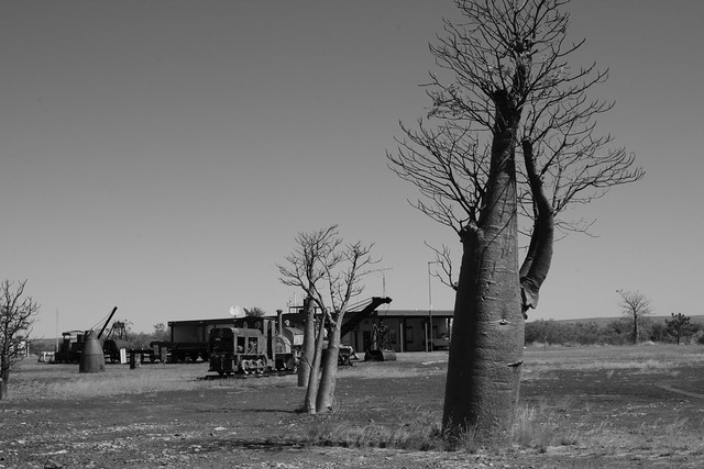
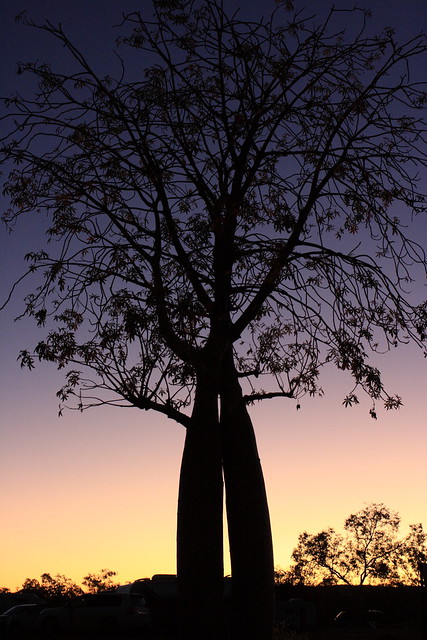
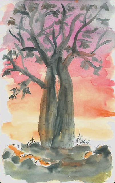
They’re so distinctive that it became my picture of the day – with the now obligatory boabs and a few whistling kites for good measure.

El Questro and Pentacost River

Wyndham – Part 2

Down at sea-level, we perused the one-street town that was Wyndham.

Wyndham

The salt pan attracted a few people.

Wyndham

And there were plenty of rusty remnants from bygone days. Since the closure of the meat works and the mine, there’s really not much work at the port, or anywhere in town.

Wyndham

Aside from these attractions, it had a jetty, a big (fiberglass) crocodile, a museum, a grocery shop, a gift shop, and a surprisingly good cafe. We tried looking for saltwater crocodiles at the jetty, but all we saw was endless mangroves.

Wyndham

Hugh, Nic and Baz were in the area to shoot Australia, but that’s 10 years ago now. Let’s hope that Wyndham gets back on its feet someday.

Wyndham – Part 1

We followed the Ord River north-west until it flowed out into the Cambridge Gulf, near the town of Wyndham, 100km of Kununurra. It’s not the only river that flows out here – it’s also the mouth of four other rivers. We had a good look from the (aptly named) Five Rivers Lookout, high above Wyndham.

Wyndham

The landscape here was enormous. The rivers, the gulf, the ranges, and the salt/sand/mud flats seemed to go on forever.

Wyndham

Wyndham used to be a busy port, but the demise of the live cattle industry and mining ended that. On the day we visited, it was receiving its last nickel-ore-carrying ship.

Wyndham

Kununurra and Ord River – Part 4

The Ord continued to narrow.

Ord River Cruise

And 55km from our starting point, we reached the Top Dam – and the reason why the river was still flowing in the middle of the dry season.

The dam pumps out enough water to keep the river level constant throughout the year. Without it, the Ord would still be a series of waterholes. This in turn provides a consistent water supply to water the crops downstream. It also generates electricity for the region.

Ord River Cruise

Lake Argyle itself is enormous – 20 times the size of Sydney Harbour – so water and power is no longer a problem in this area.

Ord River Cruise

Kununurra and Ord River – Part 3

There were plenty of local fig trees by the Ord. They don’t have to work so hard to get their water.

Ord River Cruise

And also plenty of bird and bat life.

Ord River Cruise

Ord River Cruise

These bats seemed pretty happy in their home, unlike their counterparts in the Royal Botanical Gardens, Sydney.

The further upstream we went, the more rockier the landscape became – all beautiful red sandstone.

Ord River Cruise

Ord River Cruise

It inspired my picture of the day.

Ord River Cruise

Kununurra and Ord River – Part 2

We explored the Ord River that morning on a cruise. It was a luxury to be the only cruise boat along its length, so that we could all appreciate the river and the early morning reflections.

Ord River Cruise

Ord River Cruise

Ord River Cruise

These scenes reminded me of those I saw in the Top End of the Northern Territory. Except at Kakadu we were sharing the lagoon with many cruise boats, while on the Ord we were practically the only ones on the river. On the way, the cruise guide pointed out the wildlife and told us about the history of the region. So pretty!

Ord River Cruise

Ord River Cruise

Kununurra and Ord River – Part 1

I’ve never been one to wake up with the birds, but a consequence of camping is that this was exactly what I, and the whole group, did for every day of those two weeks. We arose between 5 and 5.30am, whether we were scheduled to or not. It wasn’t a bad thing entirely, because I was able to watch a lot of lovely sunrises, like the one at our campsite at Kununurra, 250km north-east of the Bungle Bungles.

Ord River Cruise

Ord River Cruise

Kununurra is located by a lagoon that feeds into the Ord River, which we encountered near the Bungle Bungles. It’s a different place altogether, being more tropical in climate. There were a few houseboats, ready for a lazy cruise upstream.

Ord River Cruise

The waterlilies were about the blossom.

Ord River Cruise

Kununurra is the centre for the Ord River scheme, which dammed the Ord in several places nearby in the mid-20th century, forming Lake Argyle, a reservoir that is more than 20 times bigger than Sydney Harbour. We’ll find out more about the lake and dam later on.

Bungle Bungle Walks – Part 2

Our second walk that day was at Echidna Chasm, in the north end of Purnululu National Park. From the car park, the vegetation was all gum trees and scrub. The domes here were less pronounced, however they were taller.

Echidna Chasm walk

As soon as I hit the trail, I noticed that the gum trees disappeared, replaced by a grove of palms.

Echidna Chasm walk

The trail led into Echidna Chasm, and pretty soon its walls were towering over me. The temperature also seemed to drop by 10C.

Echidna Chasm walk

Echidna Chasm walk

Echidna Chasm walk

The path got narrower and narrower. Occasionally we got a glimpse of sky.

Echidna Chasm walk

Echidna Chasm walk

Pretty soon we were in murky darkness, clambering over boulders.

Echidna Chasm walk

At the end, the chasm narrowed into a one metre wide space, and it was so dark that I wasn’t able to get a clear shot. I imagine that in the wet season the entire chasm would be under water. This isn’t a walk for the claustrophobic or with mobility problems! I was pleased to walk back to the entrance and catch a glimpse of sky.

Echidna Chasm walk

Outback Twilight Interlude

At twilight, we took a little walk beyond the tents and Grey Nomad caravans. The land was still, and the sky vast.

Semi Arid Sunset

The trees and shrubs came to life. This leafless acacia tree seemed to reach out at me, like a creature from the deep.

Semi Arid Sunset

Semi Arid Sunset

Then the colours kick in. This pair of boabs made a perfect silhouette to the sunset.

Semi Arid Sunset

It was so pretty that I had to capture it on paper, too.

Semi Arid Sunset

Bungle Bungles from the air – Part 3

We flew south over the hills, and the further south we went, the smaller and more pronounced the do mes became. These are where the ‘money shots’ of the Bungle Bungles are taken.

Bungle Bungles Helicopter Ride

And there are more domes to be seen up toward the horizon. The Bungle Bungles are more extensive than the iconic rocks of Central Australia, and so much more rewarding to see from the air.

Bungle Bungles Helicopter Ride

The sun soon dipped, and all too quickly we were back to where we started.

Bungle Bungles Helicopter Ride

Bungle Bungles Helicopter Ride

But that’s not the end of the Bungle Bungles – we will soon see it on foot.